
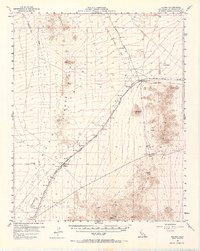
1956 Map of Fenner
USGS Topo · Published 1958About this map
Fenner Valley dominates this arid landscape of the eastern Mojave, where the Atchison Topeka and Santa Fe railroad serves as the primary corridor for movement and settlement. Small rail-side communities like Goffs and Fenner provide rare points of human activity in the desert, with Goffs notable for its nearby Cem and Goffs Butte. The map reveals the layering of transportation history, showing the Old National Trails highway and an Old Railroad Grade running parallel to the modern tracks.
Find a feature on this map
32 named features on this map. Tap any name to fly to it.
Don’t see what you’re looking for? This feature index may not catch every label — zoom into the map to look around manually.
Map Details
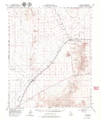
Editions of this 1956 Fenner Map
3 editions found
Other maps of this area

1886 · Camp Mohave
USGS Topo · 1:250,000

1892 · Camp Mohave
USGS Topo · 1:250,000

1910 · Ivanpah
USGS Topo · 1:250,000

1912 · Ivanpah
USGS Topo · 1:250,000

1926 · Mohave City
USGS Topo · 1:96,000

1942 · Camp Mohave
USGS Topo · 1:250,000

1942 · Ivanpah
USGS Topo · 1:250,000

1942 · Amboy
USGS Topo · 1:250,000

1943 · Center Hills
USGS Topo · 1:62,500

1943 · Amboy
USGS Topo · 1:250,000