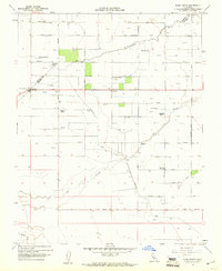
1960 Map of Bliss Ranch
USGS Topo · Published 1961About this map
Large-scale agriculture and water management define this Central Valley landscape along the Merced and Madera County line. The map is anchored by established livestock and farm operations such as Bliss Ranch, Chowchilla Ranch, and Red Top Ranch. These estates are connected by a rigid grid of numbered avenues and named thoroughfares like Grant Road and Jefferson Road. Education centers for the local ranching community are visible at Alamo School and Ashview School.
Find a feature on this map
30 named features on this map. Tap any name to fly to it.
Don’t see what you’re looking for? This feature index may not catch every label — zoom into the map to look around manually.
Map Details
Editions of this 1960 Bliss Ranch Map
3 editions found
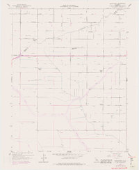

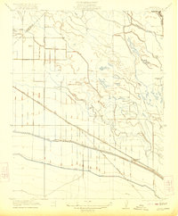
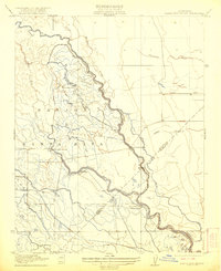
Other maps of this area

1913 · Panoche
USGS Topo · 1:125,000

1916 · Santa Rita Bridge
USGS Topo · 1:24,000

1918 · Bliss Ranch
USGS Topo · 1:31,680

1918 · Lingard
USGS Topo · 1:31,680

1918 · Chowchilla
USGS Topo · 1:31,680

1918 · Sandy Mush
USGS Topo · 1:31,680

1919 · Plainsberg
USGS Topo · 1:31,680

1920 · Santa Rita Bridge
USGS Topo · 1:31,680
1922 · Oxalis
USGS Topo · 1:31,680
1922 · Santa Rita Bridge
USGS Topo · 1:31,680