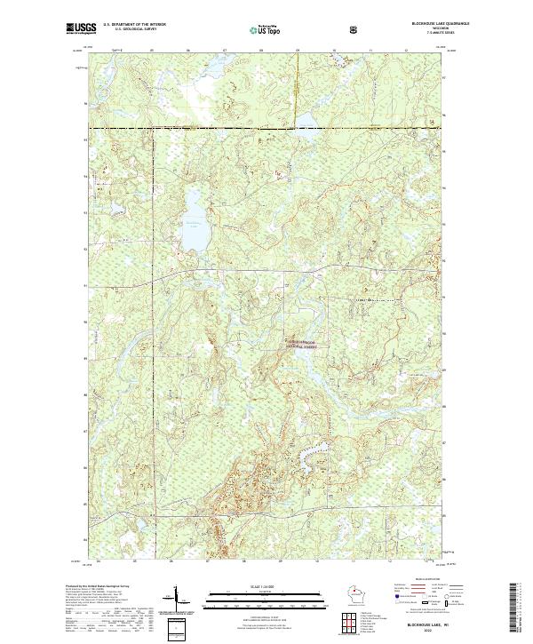
2022 Map of Blockhouse Lake
USGS Topo · Published 2022About this map
The Chequamegon National Forest dominates this northern Wisconsin landscape, where the South Fork Flambeau River carves a winding path through Price and Ashland counties. This terrain is defined by its complex glacial hydrology, featuring a dense network of water bodies including Blockhouse Lake, Iodine Lake, and Beaverdam Lake. The river itself is marked by a series of distinct whitewater features, such as The Ledge Rapids and Forest Rapids, which historically dictated movement and industry in these woods.
Find a feature on this map
61 named features on this map. Tap any name to fly to it.
Don’t see what you’re looking for? This feature index may not catch every label — zoom into the map to look around manually.
Map Details
Editions of this 2022 Blockhouse Lake Map
This is the sole edition of this map. No revisions or reprints were ever made.
Other maps of this area

1940 · Mercer
USGS Topo · 1:48,000

1940 · Butternut
USGS Topo · 1:48,000

1941 · Park Falls
USGS Topo · 1:48,000

1941 · Pike Lake
USGS Topo · 1:48,000

1942 · Pike Lake
USGS Topo · 1:48,000

1943 · Park Falls
USGS Topo · 1:48,000

1945 · Mercer
USGS Topo · 1:48,000

1947 · Park Falls
USGS Topo · 1:48,000

1947 · Butternut
USGS Topo · 1:48,000

1947 · Mercer
USGS Topo · 1:48,000