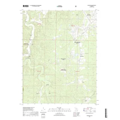
2017 Map of Bloodland
USGS Topo · Published 2017About this map
Hanna and the winding course of Roubidoux Creek anchor this landscape, where the public lands of the Mark Twain National Forest meet the active military installation of Fort Leonard Wood. The terrain is characterized by a dense network of deeply etched drainages, including the uniquely named Mush Paddle Hollow, Wildcat Hollow, and Berry Hollow. These landforms converge near Devils Backbone, a prominent ridge overlooking the creek valley.
Find a feature on this map
36 named features on this map. Tap any name to fly to it.
Don’t see what you’re looking for? This feature index may not catch every label — zoom into the map to look around manually.
Map Details
Editions of this 2017 Bloodland Map
This is the sole edition of this map. No revisions or reprints were ever made.
Other maps of this area

1936 · Waynesville
USGS Topo · 1:48,000

1941 · Big Piney
USGS Topo · 1:62,500

1942 · Waynesville
USGS Topo · 1:62,500

1943 · Richland
USGS Topo · 1:62,500

1943 · Big Piney
USGS Topo · 1:62,500

1943 · Drynob
USGS Topo · 1:62,500

1944 · Waynesville
USGS Topo · 1:62,500

1954 · Springfield
USGS Topo · 1:250,000

1954 · Drynob
USGS Topo · 1:62,500
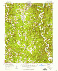
1954 · Big Piney
USGS Topo · 1:62,500