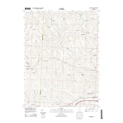
2013 Map of Bloomfield
USGS Topo · Published 2013About this map
Bloomfield and the rolling hills along the Muskingum Co and Guernsey Co border are defined by a network of rural settlements and historic burying grounds. This area of eastern Ohio is marked by numerous family and community landmarks, including Bloomfield Cem, Northfield Cem, and the Hopewell Methodist Episcopal Cem near the Indian Camp settlement. The landscape transitions from the heights of Twin Sister Knobs down to the drainage of Indian Camp Run and Sarchet Run. To the south, the John Glenn Hwy corridor connects small communities like Cassell, Fairdale, and College Hill, providing a look at the modern infrastructure overlaying a long-established agricultural grid. Genealogists can trace early local family footprints through features such as McNeals Cem, Hawthorne Cem, and the Sarchet Run Cem.
Find a feature on this map
82 named features on this map. Tap any name to fly to it.
Don’t see what you’re looking for? This feature index may not catch every label — zoom into the map to look around manually.
Map Details
Editions of this 2013 Bloomfield Map
This is the sole edition of this map. No revisions or reprints were ever made.
Other maps of this area

1908 · Conesville
USGS Topo · 1:62,500

1909 · Cambridge
USGS Topo · 1:62,500

1910 · Philo
USGS Topo · 1:62,500

1910 · Conesville
USGS Topo · 1:62,500

1911 · Cumberland
USGS Topo · 1:62,500

1912 · Cambridge
USGS Topo · 1:62,500

1949 · Clarksburg
USGS Topo · 1:250,000

1951 · Canton
USGS Topo · 1:250,000

1953 · Canton
USGS Topo · 1:250,000

1956 · Clarksburg
USGS Topo · 1:250,000