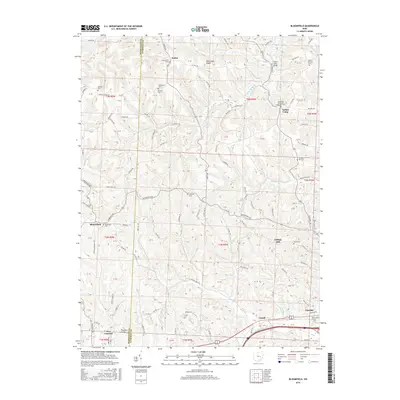
2016 Map of Bloomfield
USGS Topo · Published 2016About this map
Boden and Indian Camp anchor this landscape of the eastern Ohio hills, where the boundary between Muskingum County and Guernsey County bisects a network of small agricultural settlements. The terrain is defined by dramatic elevations like the Twin Sister Knobs and carved by watercourses including Indian Camp Run, Sarchet Run, and Dry Run. These waterways historically influenced the placement of early homesteads and roads, creating a decentralized pattern of community life.
Find a feature on this map
99 named features on this map. Tap any name to fly to it.
Don’t see what you’re looking for? This feature index may not catch every label — zoom into the map to look around manually.
Map Details
Editions of this 2016 Bloomfield Map
This is the sole edition of this map. No revisions or reprints were ever made.
Other maps of this area

1908 · Conesville
USGS Topo · 1:62,500

1909 · Cambridge
USGS Topo · 1:62,500

1910 · Philo
USGS Topo · 1:62,500

1910 · Conesville
USGS Topo · 1:62,500

1911 · Cumberland
USGS Topo · 1:62,500

1912 · Cambridge
USGS Topo · 1:62,500

1949 · Clarksburg
USGS Topo · 1:250,000

1951 · Canton
USGS Topo · 1:250,000

1953 · Canton
USGS Topo · 1:250,000

1956 · Clarksburg
USGS Topo · 1:250,000