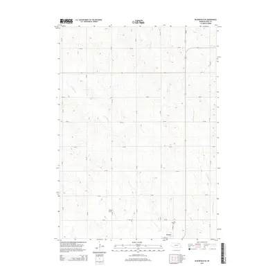
2014 Map of Bloomfield SE
USGS Topo · Published 2014About this map
Wausa occupies the southern edge of this Knox County landscape, where the town's residential grid meets the expansive agricultural terrain of northeast Nebraska. The area is defined by a dense network of sectional roads and the headwaters of several regional waterways, including the N Fork Elkhorn River and Little Bazile Cr. The drainage patterns of W Bow Cr further illustrate the undulating topography that characterizes this portion of the Bloomfield SE quadrangle.
Find a feature on this map
24 named features on this map. Tap any name to fly to it.
Don’t see what you’re looking for? This feature index may not catch every label — zoom into the map to look around manually.
Map Details
Editions of this 2014 Bloomfield SE Map
This is the sole edition of this map. No revisions or reprints were ever made.
Other maps of this area

1955 · Sioux City
USGS Topo · 1:250,000

1958 · Sioux City
USGS Topo · 1:250,000

1959 · Sioux City
USGS Topo · 1:250,000

1968 · Bloomfield NE
USGS Topo · 1:24,000

1968 · Hartington SW
USGS Topo · 1:24,000

1968 · Bloomfield SE
USGS Topo · 1:24,000

1968 · Crofton
USGS Topo · 1:24,000

1971 · Wausa
USGS Topo · 1:24,000
1971 · Magnet
USGS Topo · 1:24,000

1974 · Lindy
USGS Topo · 1:24,000