Loading...
Loading map...1973 Map of Bloomington
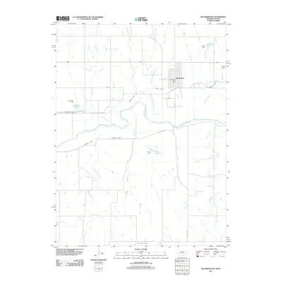
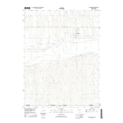
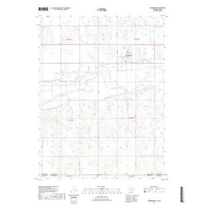
USGS Topo · Published 1977About this map
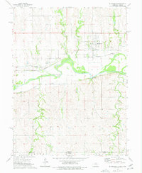
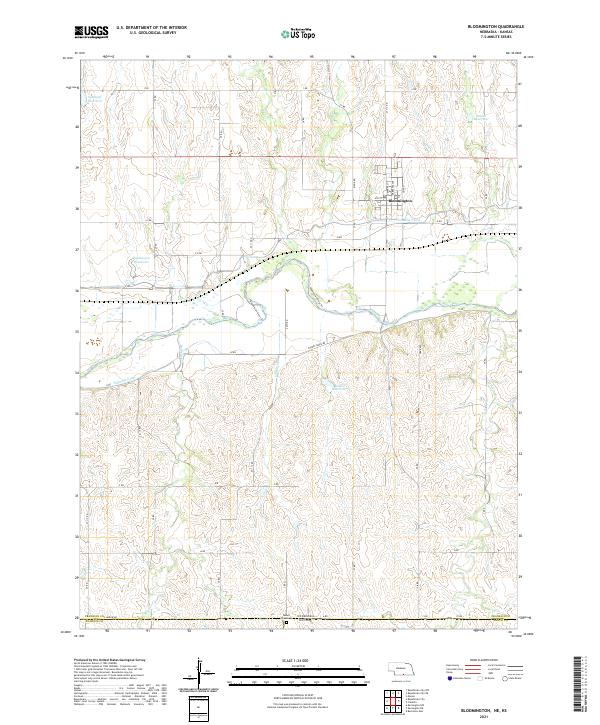
Bloomington serves as the focal point of this survey, situated just north of the Republican River valley. The landscape is defined by the convergence of several waterways, including Big Cottonwood Creek, Little Cottonwood Creek, and Ash Creek, which feed into the main river channel. Transportation and irrigation infrastructure dominate the corridor south of town, where the Burlington Northern railroad runs parallel to the Naponee Canal and Franklin Canal.
Find a feature on this map
19 named features on this map. Tap any name to fly to it.
Don’t see what you’re looking for? This feature index may not catch every label — zoom into the map to look around manually.
Map Details
Date Portrayed1973
Date Published1977
PublisherU.S. Geological Survey
Map TypeTopographic
Scale1:24,000
Physical Dimensions22 x 26.8 inches
Editions of this 1973 Bloomington Map
This is the sole edition of this map. No revisions or reprints were ever made.
Historical Maps of Bloomington Through Time
5 maps found
Featured Locations
Source Details
SourceU.S. Geological Survey
CopyrightPublic Domain