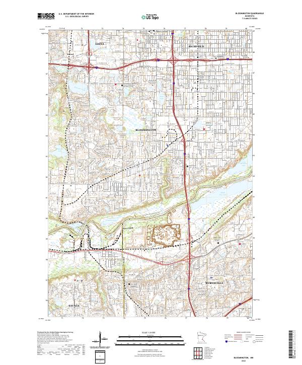
2022 Map of Bloomington
USGS Topo · Published 2022About this map
The Minnesota River corridor serves as the primary geographical anchor for this 2022 survey, marking the transition between the urbanized Hennepin County suburbs and the river valley bottoms. The river's winding course separates Bloomington from Burnsville and Savage to the south, bordered by significant natural and industrial sites including Port Cargill and the expansive Long Meadow Lake area. This modern snapshot reveals the high density of the region's southern suburbs, characterized by a complex grid of major transit routes like American Blvd and the W Bloomington Fwy.
Find a feature on this map
64 named features on this map. Tap any name to fly to it.
Don’t see what you’re looking for? This feature index may not catch every label — zoom into the map to look around manually.
Map Details
Editions of this 2022 Bloomington Map
This is the sole edition of this map. No revisions or reprints were ever made.
Other maps of this area

1896 · Minneapolis
USGS Topo · 1:62,500

1896 · St. Paul
USGS Topo · 1:62,500

1901 · Minneapolis
USGS Topo · 1:62,500

1951 · St. Paul West
USGS Topo · 1:24,000

1951 · St. Paul SW
USGS Topo · 1:24,000

1951 · St. Paul
USGS Topo · 1:62,500

1952 · Minneapolis South
USGS Topo · 1:24,000

1953 · Saint Paul
USGS Topo · 1:250,000

1954 · Hopkins
USGS Topo · 1:24,000

1954 · Bloomington
USGS Topo · 1:24,000