
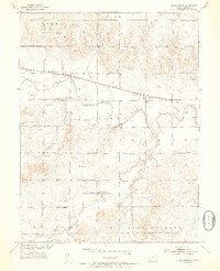
1953 Map of Bloomington
USGS Topo · Published 1954About this map
The South Fork Solomon River meanders across this mid-century landscape, carving a wide valley through the townships of Hawkeye, Lawrence, Tilden, and Independence. The settlement of Bloomington serves as a central hub, situated along the Missouri Pacific railroad line which parallels the river. This rail-and-river corridor shaped the local economy and social life, evidenced by the distribution of rural institutions across the countryside.
Find a feature on this map
17 named features on this map. Tap any name to fly to it.
Don’t see what you’re looking for? This feature index may not catch every label — zoom into the map to look around manually.
Map Details
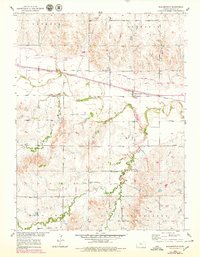
Editions of this 1953 Bloomington Map
3 editions found
Other maps of this area

1893 · Smith Center
USGS Topo · 1:125,000

1896 · Osborne
USGS Topo · 1:125,000

1953 · Osborne
USGS Topo · 1:24,000

1953 · Alton
USGS Topo · 1:24,000

1955 · Beloit
USGS Topo · 1:250,000

1959 · Beloit
USGS Topo · 1:250,000

1961 · Portis
USGS Topo · 1:24,000

1961 · Harlan
USGS Topo · 1:24,000

1961 · Gaylord SW
USGS Topo · 1:24,000

1978 · Osborne SW
USGS Topo · 1:24,000