
1978 Map of Osborne SW
USGS Topo · Published 1979About this map
Covert Creek and Indian Creek carve their way through this section of Osborne County, defining the agricultural character of the late 1970s landscape. The terrain is marked by the township boundaries of Independence, Hancock, Covert, and Winfield, showing a rural landscape organized by section lines and natural drainage. A prominent Radio Tower stands near the center of the sheet, serving as a modern navigational landmark amidst the rolling hills of north-central Kansas. For those researching local burial sites and family land ownership, the Zimmerman Cem is located in the eastern portion of the map near Twin Creek, providing a specific point of reference for historical genealogical study in this sparsely settled region.
Find a feature on this map
10 named features on this map. Tap any name to fly to it.
Don’t see what you’re looking for? This feature index may not catch every label — zoom into the map to look around manually.
Map Details
Editions of this 1978 Osborne SW Map
This is the sole edition of this map. No revisions or reprints were ever made.
Other maps of this area

1896 · Osborne
USGS Topo · 1:125,000

1953 · Downs South
USGS Topo · 1:24,000

1953 · Bloomington
USGS Topo · 1:24,000

1953 · Osborne
USGS Topo · 1:24,000

1955 · Beloit
USGS Topo · 1:250,000

1959 · Beloit
USGS Topo · 1:250,000
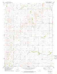
1978 · Osborne SE
USGS Topo · 1:24,000
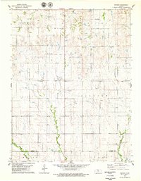
1978 · Vincent
USGS Topo · 1:24,000
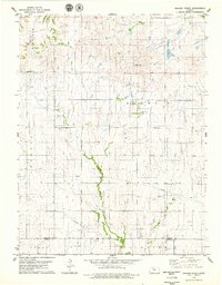
1978 · Meades Ranch
USGS Topo · 1:24,000
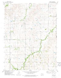
1978 · Covert
USGS Topo · 1:24,000