
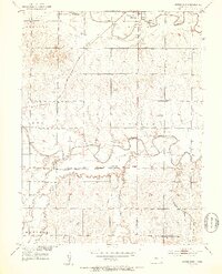
1953 Map of Downs South
USGS Topo · Published 1953About this map
The South Fork Solomon River meanders across this rural landscape in the early 1950s, defining the settlement patterns of townships like Ross and Corinth. This survey was conducted as part of the Department of the Interior's development program for the Missouri River Basin, capturing the region's transition into a more modern transportation era. While the Missouri Pacific and Atchison Topeka and Santa Fe railroads still dominate the industrial corridor, the presence of the Municipal Airport near Downs signals changing methods of transit.
Find a feature on this map
18 named features on this map. Tap any name to fly to it.
Don’t see what you’re looking for? This feature index may not catch every label — zoom into the map to look around manually.
Map Details
Editions of this 1953 Downs South Map
3 editions found
Other maps of this area

1893 · Smith Center
USGS Topo · 1:125,000

1894 · Mankato
USGS Topo · 1:125,000

1894 · Beloit
USGS Topo · 1:125,000

1896 · Osborne
USGS Topo · 1:125,000

1953 · Waconda Springs
USGS Topo · 1:24,000

1953 · Osborne
USGS Topo · 1:24,000

1955 · Beloit
USGS Topo · 1:250,000

1959 · Beloit
USGS Topo · 1:250,000

1960 · Downs North
USGS Topo · 1:24,000

1961 · Portis
USGS Topo · 1:24,000