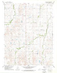
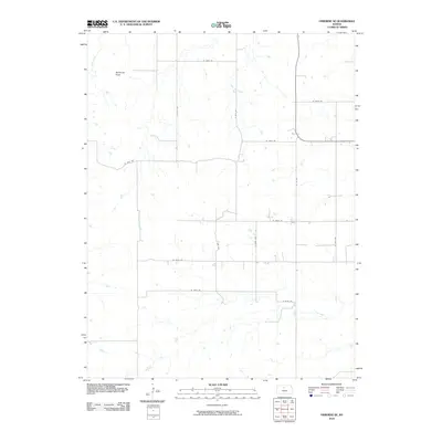
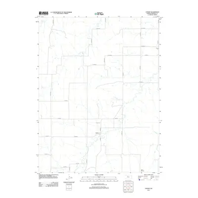
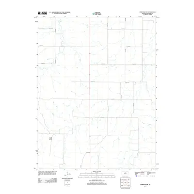
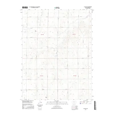
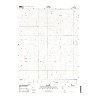
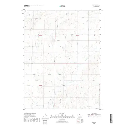
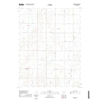
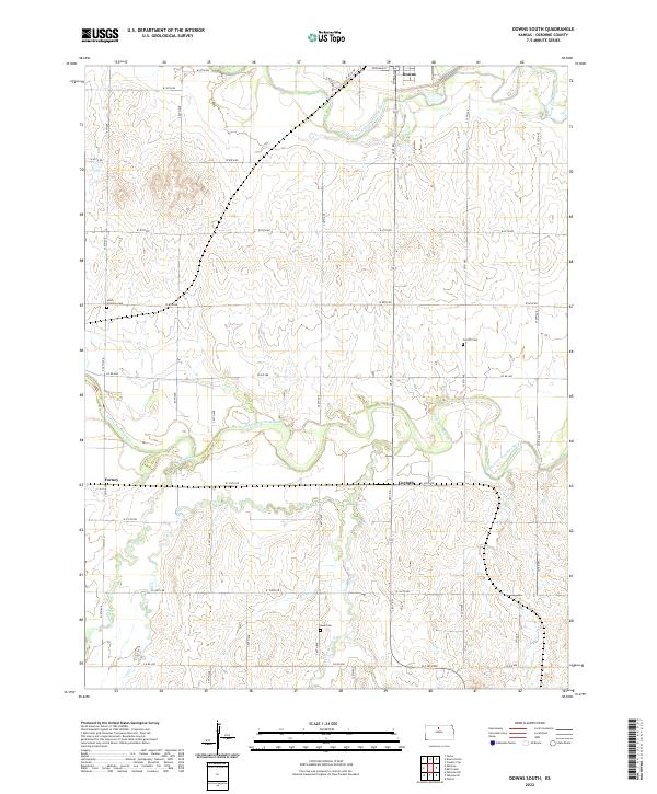
1953 Map of Downs South
USGS Topo · Published 1979About this map
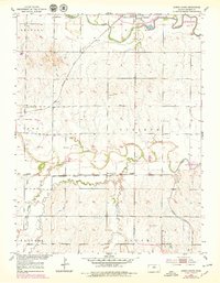
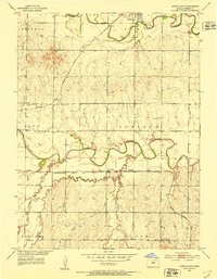
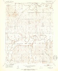
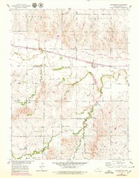
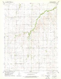
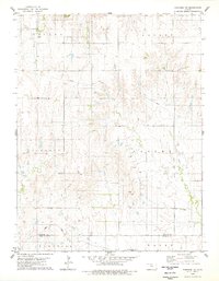
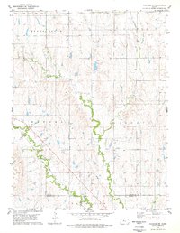
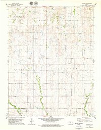
The South Fork Solomon River defines the landscape of north-central Kansas in this mid-century portrait, winding through a network of small agricultural settlements and rural school districts. The 1970s revisions (shown in purple) illustrate a dramatic hydrological change with the arrival of Waconda Lake, which began to submerge the river valley. This transformation altered the local geography near Downs, a junction point where the Missouri Pacific and Atchison Topeka and Santa Fe railroads once intersected.
Find a feature on this map
24 named features on this map. Tap any name to fly to it.
Don’t see what you’re looking for? This feature index may not catch every label — zoom into the map to look around manually.
Map Details
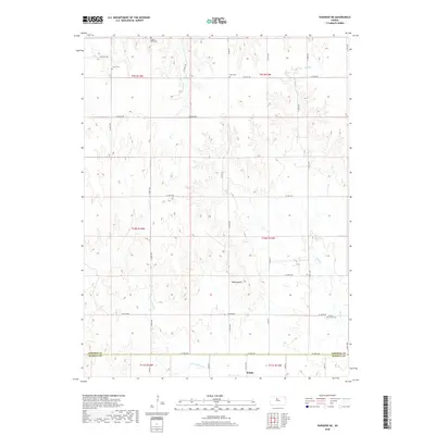
Editions of this 1953 Downs South Map
3 editions found
Historical Maps of Downs Through Time
60 maps found
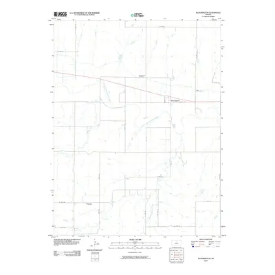
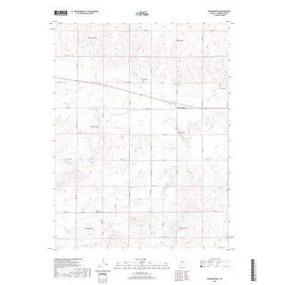
1953 Bloomington
Osborne County, KS
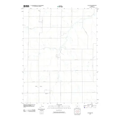
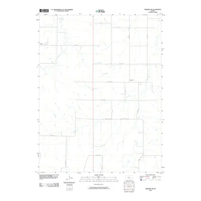
1953 Downs South
Osborne County, KS
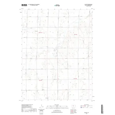
1978 Alton SW
Osborne County, KS
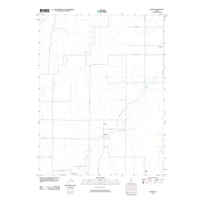
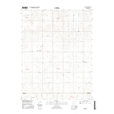
1978 Covert
Osborne County, KS
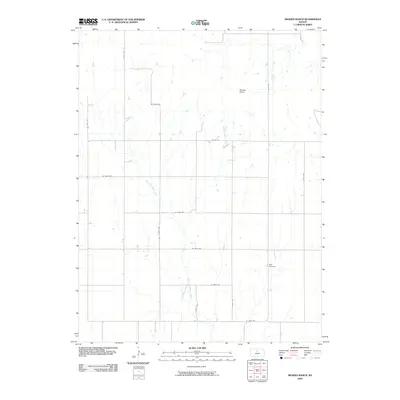
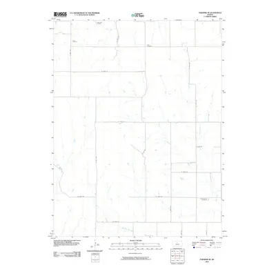
1978 Meades Ranch
Osborne County, KS
1978 Osborne SE
Osborne County, KS
1978 Osborne SW
Osborne County, KS
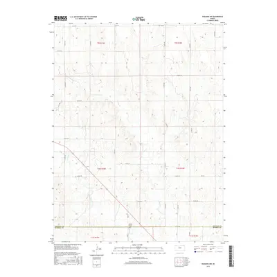
1978 Paradise NE
Osborne County, KS
1978 Paradise NW
Osborne County, KS
1978 Vincent
Osborne County, KS
2009 Alton SW
Osborne County, KS
2009 Bloomington
Osborne County, KS
2009 Covert
Osborne County, KS
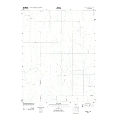
2009 Downs South
Osborne County, KS
2009 Meades Ranch
Osborne County, KS
2009 Osborne SW
Osborne County, KS
2009 Paradise NE
Osborne County, KS
2009 Vincent
Osborne County, KS
2010 Osborne SE
Osborne County, KS
2010 Paradise NW
Osborne County, KS
2012 Alton SW
Osborne County, KS
2012 Bloomington
Osborne County, KS
2012 Covert
Osborne County, KS
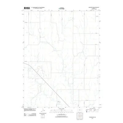
2012 Downs South
Osborne County, KS
2012 Meades Ranch
Osborne County, KS
2012 Osborne SE
Osborne County, KS
2012 Osborne SW
Osborne County, KS
2012 Paradise NE
Osborne County, KS
2012 Paradise NW
Osborne County, KS
2012 Vincent
Osborne County, KS
2015 Alton SW
Osborne County, KS
2015 Bloomington
Osborne County, KS
2015 Covert
Osborne County, KS
2015 Downs South
Osborne County, KS
2015 Meades Ranch
Osborne County, KS
2015 Osborne SE
Osborne County, KS
2015 Osborne SW
Osborne County, KS
2015 Paradise NE
Osborne County, KS
2015 Paradise NW
Osborne County, KS
2015 Vincent
Osborne County, KS
2018 Alton SW
Osborne County, KS
2018 Bloomington
Osborne County, KS
2018 Covert
Osborne County, KS
2018 Downs South
Osborne County, KS
2018 Meades Ranch
Osborne County, KS
2018 Osborne SE
Osborne County, KS
2018 Osborne SW
Osborne County, KS
2018 Paradise NE
Osborne County, KS
2018 Paradise NW
Osborne County, KS
2018 Vincent
Osborne County, KS
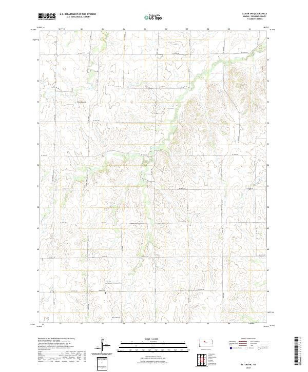
2022 Alton SW
Osborne County, KS
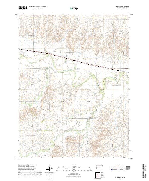
2022 Bloomington
Osborne County, KS
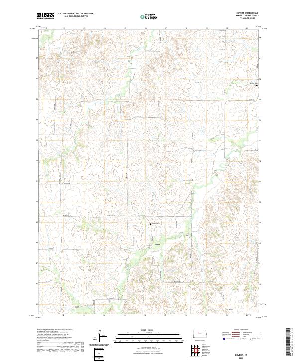
2022 Covert
Osborne County, KS
2022 Downs South
Osborne County, KS
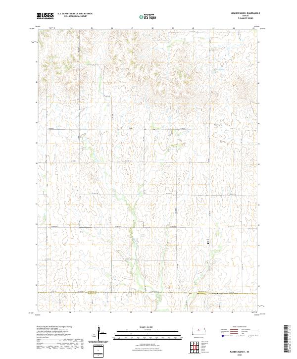
2022 Meades Ranch
Osborne County, KS
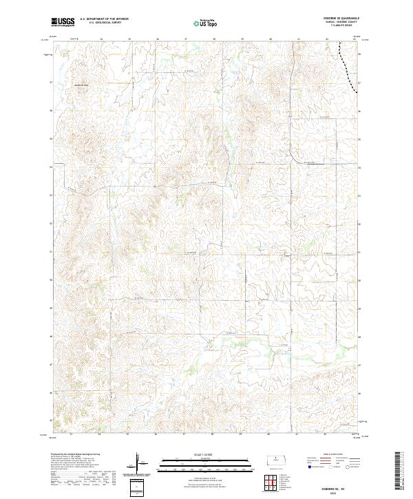
2022 Osborne SE
Osborne County, KS
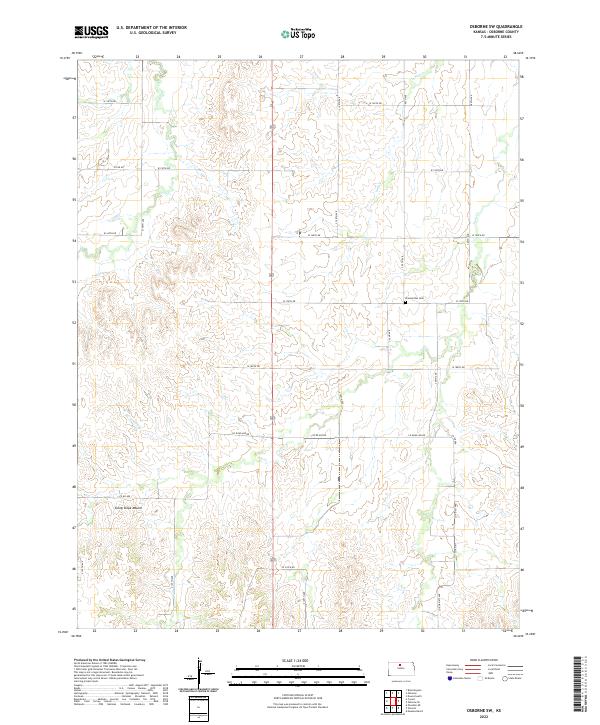
2022 Osborne SW
Osborne County, KS
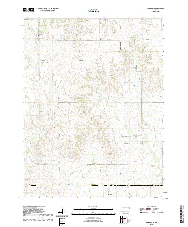
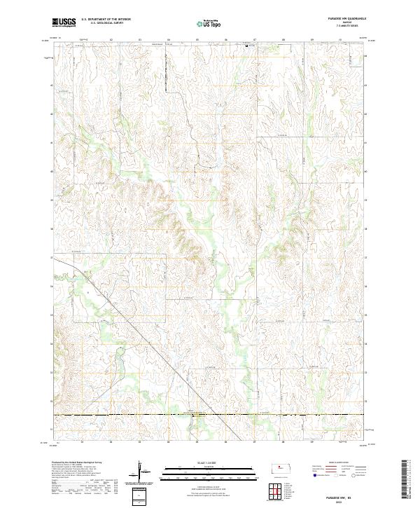
2022 Paradise NE
Osborne County, KS
2022 Paradise NW
Osborne County, KS
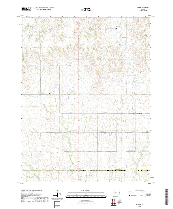
2022 Vincent
Osborne County, KS