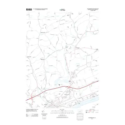
2013 Map of Bloomsburg
USGS Topo · Published 2013About this map
The Susquehanna River defines the southern reach of this Columbia County landscape, where the communities of Espy, Almedia, and Fernville occupy the fertile valley floor. Moving north, the terrain transitions into a complex drainage system dominated by Fishing Cr, which winds through the central corridor past Light Street and Orangeville. The presence of the Irondale Dam on Hemlock Cr and the specialized naming of the Paper Mill settlement suggest the area's long-standing reliance on its watercourses for local industry and infrastructure.
Find a feature on this map
214 named features on this map. Tap any name to fly to it.
Don’t see what you’re looking for? This feature index may not catch every label — zoom into the map to look around manually.
Map Details
Editions of this 2013 Bloomsburg Map
This is the sole edition of this map. No revisions or reprints were ever made.
Other maps of this area

1889 · Catawissa
USGS Topo · 1:62,500

1892 · Catawissa
USGS Topo · 1:62,500

1892 · Shamokin
USGS Topo · 1:62,500

1893 · Shamokin
USGS Topo · 1:62,500

1894 · Catawissa
USGS Topo · 1:62,500

1894 · Bloomsburg
USGS Topo · 1:62,500

1935 · Hughesville
USGS Topo · 1:62,500

1943 · Shamokin
USGS Topo · 1:62,500

1947 · Bloomsburg
USGS Topo · 1:24,000

1947 · Stillwater
USGS Topo · 1:24,000