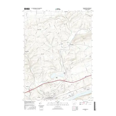
2016 Map of Bloomsburg
USGS Topo · Published 2016About this map
The Susquehanna River and its major tributary Fishing Creek define the geography of this central Pennsylvania landscape. At the southern edge, the city of Bloomsburg serves as a prominent hub, anchored by the Bloomsburg University of Pennsylvania and surrounded by smaller communities like Fernville, Espy, and Almedia. The map captures a transition from the urbanized river valley to the ridgelines of Knob Mountain and Summer Hill to the east.
Find a feature on this map
135 named features on this map. Tap any name to fly to it.
Don’t see what you’re looking for? This feature index may not catch every label — zoom into the map to look around manually.
Map Details
Editions of this 2016 Bloomsburg Map
This is the sole edition of this map. No revisions or reprints were ever made.
Other maps of this area

1889 · Catawissa
USGS Topo · 1:62,500

1892 · Catawissa
USGS Topo · 1:62,500

1892 · Shamokin
USGS Topo · 1:62,500

1893 · Shamokin
USGS Topo · 1:62,500

1894 · Catawissa
USGS Topo · 1:62,500

1894 · Bloomsburg
USGS Topo · 1:62,500

1935 · Hughesville
USGS Topo · 1:62,500

1943 · Shamokin
USGS Topo · 1:62,500

1947 · Bloomsburg
USGS Topo · 1:24,000

1947 · Stillwater
USGS Topo · 1:24,000