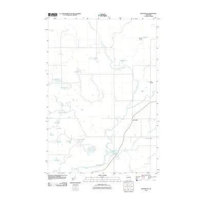
2010 Map of Bloomville
USGS Topo · Published 2010About this map
The settlement of Bloomville serves as the focal point of this northern Wisconsin landscape, where the Prairie River and its various tributaries define the geography. The presence of the Prairie Dell Dam and the smaller Doering E12.129 Dam illustrates the historical and contemporary management of local waterways for reservoir storage, such as the 0.9 Reservoir. Genealogists and local historians will find the locations of Saint Johns Cemetery and Luther Memorial Cemetery useful for tracing family roots in this rural portion of Lincoln County.
Find a feature on this map
26 named features on this map. Tap any name to fly to it.
Don’t see what you’re looking for? This feature index may not catch every label — zoom into the map to look around manually.
Map Details
Editions of this 2010 Bloomville Map
This is the sole edition of this map. No revisions or reprints were ever made.
Other maps of this area

1899 · Wausau
USGS Topo · 1:125,000

1902 · Wausau
USGS Topo · 1:125,000

1940 · Parrish
USGS Topo · 1:48,000

1950 · Parrish
USGS Topo · 1:48,000

1950 · Tomahawk
USGS Topo · 1:48,000

1951 · Doering
USGS Topo · 1:48,000

1951 · Merrill
USGS Topo · 1:48,000

1952 · Parrish
USGS Topo · 1:48,000

1952 · Tomahawk
USGS Topo · 1:48,000

1954 · Iron Mountain
USGS Topo · 1:250,000