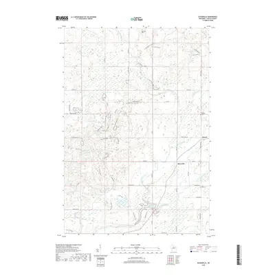
2018 Map of Bloomville
USGS Topo · Published 2018About this map
The Harrison Hills dominate the northern landscape of this Lincoln County survey, characterized by a complex network of glacial kettle lakes and wetlands. The Ice Age National Scenic Trail winds through this terminal moraine country, connecting specific segments like the Dog Lake Segment and paths such as the Full Underdown and Big Bug & Saddle. These trails traverse a landscape densely pocketed with named water bodies, including Lokemoen Lake, Ament Lake, and Luecks Lake.
Find a feature on this map
71 named features on this map. Tap any name to fly to it.
Don’t see what you’re looking for? This feature index may not catch every label — zoom into the map to look around manually.
Map Details
Editions of this 2018 Bloomville Map
This is the sole edition of this map. No revisions or reprints were ever made.
Other maps of this area

1899 · Wausau
USGS Topo · 1:125,000

1902 · Wausau
USGS Topo · 1:125,000

1940 · Parrish
USGS Topo · 1:48,000

1950 · Parrish
USGS Topo · 1:48,000

1950 · Tomahawk
USGS Topo · 1:48,000

1951 · Doering
USGS Topo · 1:48,000

1951 · Merrill
USGS Topo · 1:48,000

1952 · Parrish
USGS Topo · 1:48,000

1952 · Tomahawk
USGS Topo · 1:48,000

1954 · Iron Mountain
USGS Topo · 1:250,000