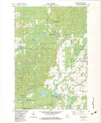
1982 Map of Bloomville
USGS Topo · Published 1983About this map
Harrison Hills rise in the northeast corner of this quadrangle, overlooking a dense network of glacial kettle lakes and wetland corridors in north-central Wisconsin. The landscape is defined by the Prairie River and its North Branch, which snake through the townships of Birch, Russell, and Schley. Public land use is prominent, with large tracts dedicated to conservation such as the Kings Springs State Public Fishery Area and the Spring Lake State Public Hunting and Fishing Area.
Find a feature on this map
53 named features on this map. Tap any name to fly to it.
Don’t see what you’re looking for? This feature index may not catch every label — zoom into the map to look around manually.
Map Details
Editions of this 1982 Bloomville Map
This is the sole edition of this map. No revisions or reprints were ever made.
Other maps of this area

1899 · Wausau
USGS Topo · 1:125,000

1902 · Wausau
USGS Topo · 1:125,000

1940 · Parrish
USGS Topo · 1:48,000

1950 · Parrish
USGS Topo · 1:48,000

1950 · Tomahawk
USGS Topo · 1:48,000

1951 · Doering
USGS Topo · 1:48,000

1951 · Merrill
USGS Topo · 1:48,000

1952 · Parrish
USGS Topo · 1:48,000

1952 · Tomahawk
USGS Topo · 1:48,000

1954 · Iron Mountain
USGS Topo · 1:250,000