2023 Map of Blossburg
USGS Topo · Published 2023About this map
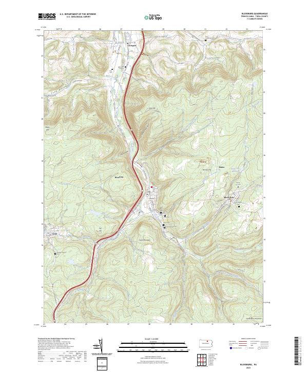
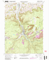
The Tioga River carves a central path through this landscape, flanked by the coal-country settlements of Blossburg and Morris Run. The terrain is deeply grooved by narrow hollows such as Copp Hollow and Limekiln Hollow, while the surrounding heights of South Mountain and Huckleberry Mountain hem in the river valley. The region's community heritage is remarkably well-preserved in its concentration of burial grounds, with at least nine distinct sites including the Saint Mary's Cem, Arbon Cem, and the Swedish Lutheran Cem near Arnot. These sites, along with the Morris Run Reservoir, reflect the established social and industrial infrastructure of the Tioga County coal fields. The road network, including the Appalachian Throughway and Bloss Mountain Rd, follows the natural contours of the steep slopes, connecting these historically significant mining and timber hamlets.
Find a feature on this map
83 named features on this map. Tap any name to fly to it.
Don’t see what you’re looking for? This feature index may not catch every label — zoom into the map to look around manually.
Map Details
Editions of this 2023 Blossburg Map
This is the sole edition of this map. No revisions or reprints were ever made.
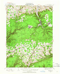
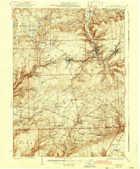
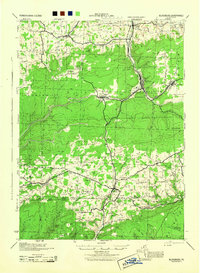
Historical Maps of Blakes Through Time
5 maps found
Featured Locations
- Liberty Township, PA
- Hamilton Township, PA
- Sullivan Township, PA
- Blossburg, PA
- Covington, Putnam Township