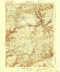
1927 Map of Blossburg
USGS Topo · Published 1942About this map
Blossburg and the industrial corridors of the Tioga River valley anchor this mid-1920s survey of Tioga County. The landscape is defined by the extraction and transport networks of the era, notably the Erie RR serving the mining communities of Arnot and Morris Run. While the river valleys hum with rail activity, the surrounding plateaus like Brier Mtn and Huckleberry Mtn remain primarily rural, dotted with one-room schoolhouses such as Culver School, Reed School, and Hasty School.
Find a feature on this map
89 named features on this map. Tap any name to fly to it.
Don’t see what you’re looking for? This feature index may not catch every label — zoom into the map to look around manually.
Map Details
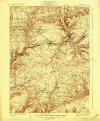
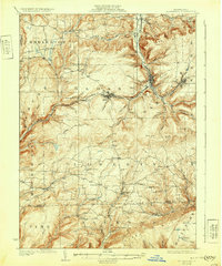
Editions of this 1927 Blossburg Map
4 editions found
Other maps of this area

1900 · Tioga
USGS Topo · 1:62,500

1900 · Elkland
USGS Topo · 1:62,500

1902 · Tioga
USGS Topo · 1:62,500

1921 · Trout Run
USGS Topo · 1:62,500

1923 · Trout Run
USGS Topo · 1:62,500

1925 · Blossburg
USGS Topo · 1:62,500

1927 · Blossburg
USGS Topo · 1:62,500

1930 · Warrensville
USGS Topo · 1:62,500

1931 · Troy
USGS Topo · 1:48,000

1934 · Warrensville
USGS Topo · 1:62,500