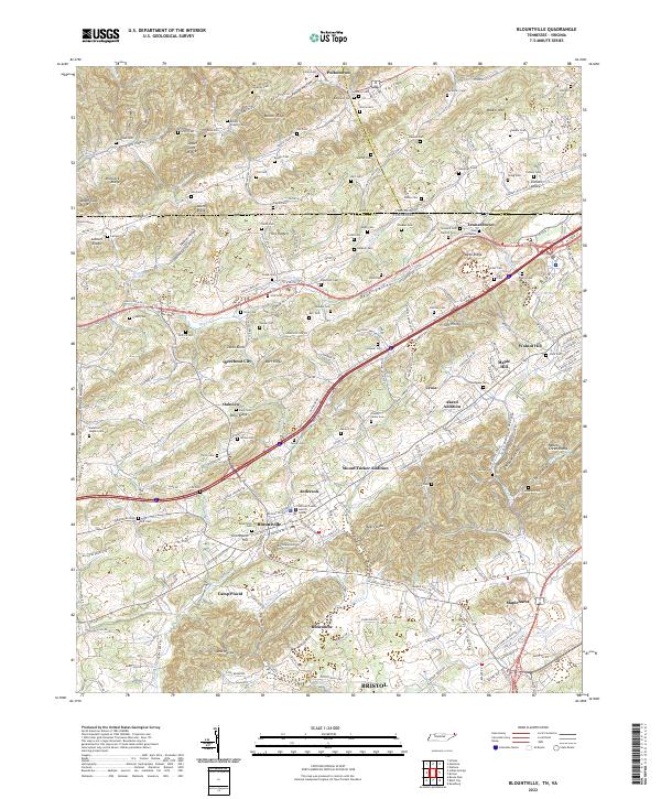
2022 Map of Blountville
USGS Topo · Published 2022About this map
Blountville serves as the focal point of this Sullivan County landscape, situated where the Blountville Byp meets local thoroughfares like Hillsboro Rd. The area is characterized by a dense network of family cemeteries and small rural settlements that reflect generations of Appalachian history. Landmarks such as the Sullivan County Justice Center and Graveyard Hill anchor the town center, while surrounding neighborhoods like Mount Tucker Addition and Akard Addition show the community's residential expansion.
Find a feature on this map
235 named features on this map. Tap any name to fly to it.
Don’t see what you’re looking for? This feature index may not catch every label — zoom into the map to look around manually.
Map Details
Editions of this 2022 Blountville Map
This is the sole edition of this map. No revisions or reprints were ever made.
Other maps of this area

1891 · Roan Mountain
USGS Topo · 1:125,000

1894 · Roan Mountain
USGS Topo · 1:125,000

1897 · Bristol
USGS Topo · 1:125,000

1902 · Bristol
USGS Topo · 1:125,000

1904 · Roan Mountain
USGS Topo · 1:125,000
1934 · Wallace
USGS Topo · 1:24,000
1934 · Bristol
USGS Topo · 1:24,000
1935 · Hilton
USGS Topo · 1:24,000
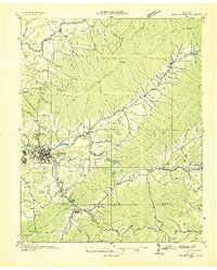
1935 · Watauga Valley
USGS Topo · 1:48,000
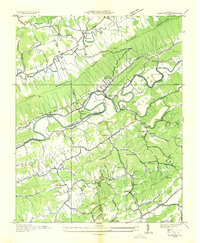
1935 · Mendota
USGS Topo · 1:24,000