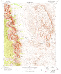
1972 Map of Blue Diamond
USGS Topo · Published 1974About this map
Blue Diamond sits at the base of the Blue Diamond Hills, serving as a central point of activity in this 1970s desert landscape. The map reveals a land defined by water access, with numerous vital points such as Mormon Green Springs, Wheeler Camp Spring, and Cottonwood Spring scattered along the transition from valley floors to the high Spring Mountains. The presence of Spring Mountain Ranch and Oliver Ranch indicates a history of land use tied to these reliable water sources.
Find a feature on this map
34 named features on this map. Tap any name to fly to it.
Don’t see what you’re looking for? This feature index may not catch every label — zoom into the map to look around manually.
Map Details
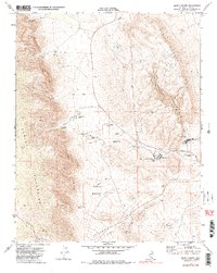
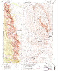
Editions of this 1972 Blue Diamond Map
3 editions found
Other maps of this area

1907 · Las Vegas
USGS Topo · 1:250,000

1908 · Las Vegas
USGS Topo · 1:250,000

1910 · Ivanpah
USGS Topo · 1:250,000

1912 · Ivanpah
USGS Topo · 1:250,000

1942 · Ivanpah
USGS Topo · 1:250,000

1947 · Kingman
USGS Topo · 1:250,000

1948 · Kingman
USGS Topo · 1:250,000

1952 · Blue Diamond
USGS Topo · 1:62,500

1954 · Las Vegas
USGS Topo · 1:250,000

1954 · Kingman
USGS Topo · 1:250,000