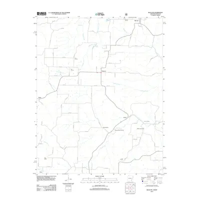
2012 Map of Blue Eye
USGS Topo · Published 2012About this map
Oakgrove and the surrounding borderlands of Carroll County, Arkansas, and Stone County, Missouri, are defined by a complex network of hollows and small creek systems. This 2012 survey illustrates the dispersed settlement pattern characteristic of the Ozark plateau, where communities like Yocum and Maple are anchored by family-named landmarks and historical burial grounds. Notable topographic features such as Pilot Knob rise above the drainage basins of Yocum Creek and Stillhouse Creek, while numerous springs including Blue Spring and Hale Spring provide the fundamental water sources for the area. Genealogists will find significant value in the distribution of regional cemeteries, including the Boyd Cemetery, Hale Cemetery, and Parker Cemetery, which serve as permanent records of the families who settled these valleys.
Find a feature on this map
71 named features on this map. Tap any name to fly to it.
Don’t see what you’re looking for? This feature index may not catch every label — zoom into the map to look around manually.
Map Details
Editions of this 2012 Blue Eye Map
This is the sole edition of this map. No revisions or reprints were ever made.
Other maps of this area

1900 · Eureka Springs
USGS Topo · 1:125,000

1901 · Eureka Springs
USGS Topo · 1:125,000

1904 · Harrison
USGS Topo · 1:125,000

1905 · Harrison
USGS Topo · 1:125,000

1907 · Forsyth
USGS Topo · 1:125,000

1927 · Shell Knob
USGS Topo · 1:62,500

1945 · Harrison
USGS Topo · 1:250,000

1949 · Harrison
USGS Topo · 1:250,000

1950 · Shell Knob
USGS Topo · 1:62,500

1954 · Harrison
USGS Topo · 1:250,000