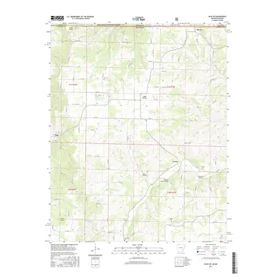
2017 Map of Blue Eye
USGS Topo · Published 2017About this map
Blue Eye sits at the northern edge of this landscape, straddling the state line where the Mark Twain National Forest meets the hills of Arkansas. This area of Carroll County is defined by a dense network of hollows and ridges, with water sources such as Blue Spring and Hale Spring feeding the winding courses of Dogwood Cr and Yocum Cr. The settlement patterns here are deeply tied to the terrain, with small communities like Oak Grove and Yocum situated near local drainages and ridges.
Find a feature on this map
81 named features on this map. Tap any name to fly to it.
Don’t see what you’re looking for? This feature index may not catch every label — zoom into the map to look around manually.
Map Details
Editions of this 2017 Blue Eye Map
This is the sole edition of this map. No revisions or reprints were ever made.
Other maps of this area

1900 · Eureka Springs
USGS Topo · 1:125,000

1901 · Eureka Springs
USGS Topo · 1:125,000

1904 · Harrison
USGS Topo · 1:125,000

1905 · Harrison
USGS Topo · 1:125,000

1907 · Forsyth
USGS Topo · 1:125,000

1927 · Shell Knob
USGS Topo · 1:62,500

1945 · Harrison
USGS Topo · 1:250,000

1949 · Harrison
USGS Topo · 1:250,000

1950 · Shell Knob
USGS Topo · 1:62,500

1954 · Harrison
USGS Topo · 1:250,000