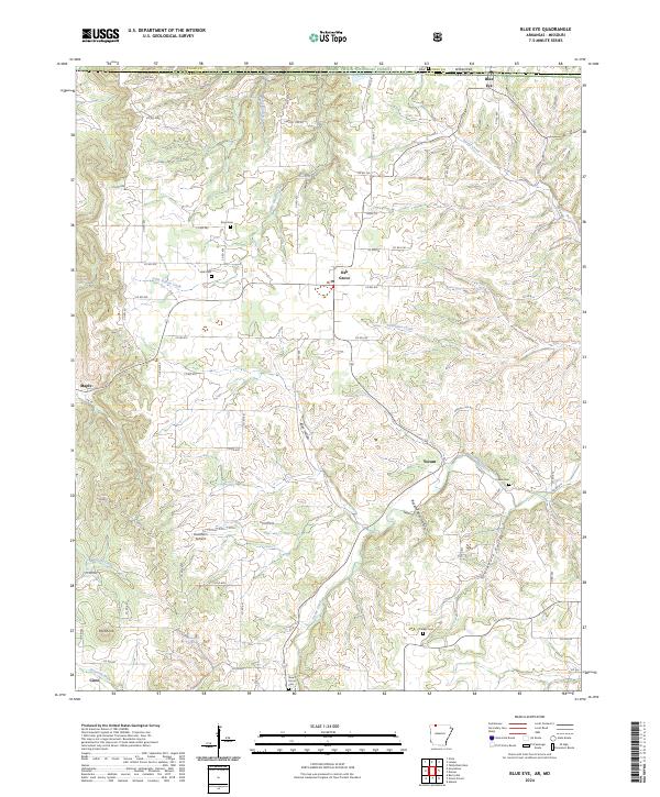
2024 Map of Blue Eye
USGS Topo · Published 2024About this map
Blue Eye sits directly on the border between Arkansas and Missouri, serving as a focal point for this rural landscape in Carroll County. The terrain is defined by a series of narrow valleys and winding watercourses, including Stillhouse Creek and Little Indian Creek, which have carved out distinctive landforms like Allen Hollow and Buzzard Roost Hollow. Small settlements such as Oak Grove, Maple, and Cisco are connected by a network of county roads that navigate the ridges and lowlands.
Find a feature on this map
85 named features on this map. Tap any name to fly to it.
Don’t see what you’re looking for? This feature index may not catch every label — zoom into the map to look around manually.
Map Details
Editions of this 2024 Blue Eye Map
This is the sole edition of this map. No revisions or reprints were ever made.
Other maps of this area

1900 · Eureka Springs
USGS Topo · 1:125,000

1901 · Eureka Springs
USGS Topo · 1:125,000

1904 · Harrison
USGS Topo · 1:125,000

1905 · Harrison
USGS Topo · 1:125,000

1907 · Forsyth
USGS Topo · 1:125,000

1927 · Shell Knob
USGS Topo · 1:62,500

1945 · Harrison
USGS Topo · 1:250,000

1949 · Harrison
USGS Topo · 1:250,000

1950 · Shell Knob
USGS Topo · 1:62,500

1954 · Harrison
USGS Topo · 1:250,000