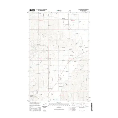
2014 Map of Blue Grass Ridge
USGS Topo · Published 2014About this map
Blue Grass Ridge and the Flathead National Forest dominate the western half of this 2014 survey, illustrating the transition from timbered slopes to the valley floor west of Kalispell. Small settlements like Kila, Batavia, and Smith Valley align with the Us-2 corridor, reflecting the modern residential and agricultural development patterns of the region. The landscape is defined by several notable drainage features, including Dern Draw, McMannamy Draw, and the winding course of Ashley Creek, which feeds into the wetlands of Smith Lake. Local history is anchored by the Spring Creek Cemetery in the northeast and numerous family-named landmarks like Sheepherder Hill and Haywire Gulch. The road network, including Farm to Market Road and W Reserve Drive, shows the increasing connectivity between rural residential pockets and the larger Flathead Valley.
Find a feature on this map
103 named features on this map. Tap any name to fly to it.
Don’t see what you’re looking for? This feature index may not catch every label — zoom into the map to look around manually.
Map Details
Editions of this 2014 Blue Grass Ridge Map
This is the sole edition of this map. No revisions or reprints were ever made.
Other maps of this area

1943 · Kalispell
USGS Topo · 1:125,000

1957 · Kalispell
USGS Topo · 1:250,000

1960 · Kalispell
USGS Topo · 1:250,000

1961 · Kalispell
USGS Topo · 1:250,000

1962 · Kila
USGS Topo · 1:24,000

1962 · Rose Crossing
USGS Topo · 1:24,000

1962 · Blue Grass Ridge
USGS Topo · 1:24,000

1962 · Lion Mountain
USGS Topo · 1:24,000

1962 · Lost Creek Divide
USGS Topo · 1:24,000

1962 · Rhodes
USGS Topo · 1:24,000