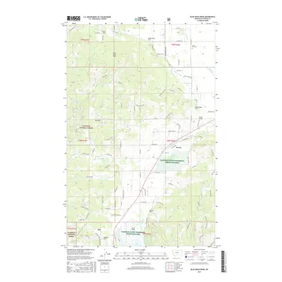
2017 Map of Blue Grass Ridge
USGS Topo · Published 2017About this map
Kila and Batavia anchor the lowlands of this Flathead County landscape, where the agricultural flats of Smith Valley meet the rising timber of the Flathead National Forest. The map detail highlights a complex hydrological network, from the marshy edges of Smith Lake and the Flathead County Waterfowl Production Area to the channelized Ashley Cr Ditch and numerous seasonal draws like Dern Draw. Significant topographical features such as Blue Grass Ridge and Bald Mtn define the western horizon, while the northeastern corner is marked by Sheepherder Hill and the Spring Creek Cem. The settlement pattern follows the contours of the valley, with roads like Farm to Market Rd and Bluegrass Ridge Rd connecting rural homesteads to the more concentrated community at Kila.
Find a feature on this map
98 named features on this map. Tap any name to fly to it.
Don’t see what you’re looking for? This feature index may not catch every label — zoom into the map to look around manually.
Map Details
Editions of this 2017 Blue Grass Ridge Map
This is the sole edition of this map. No revisions or reprints were ever made.
Other maps of this area

1943 · Kalispell
USGS Topo · 1:125,000

1957 · Kalispell
USGS Topo · 1:250,000

1960 · Kalispell
USGS Topo · 1:250,000

1961 · Kalispell
USGS Topo · 1:250,000

1962 · Kila
USGS Topo · 1:24,000

1962 · Rose Crossing
USGS Topo · 1:24,000

1962 · Blue Grass Ridge
USGS Topo · 1:24,000

1962 · Lion Mountain
USGS Topo · 1:24,000

1962 · Lost Creek Divide
USGS Topo · 1:24,000

1962 · Rhodes
USGS Topo · 1:24,000