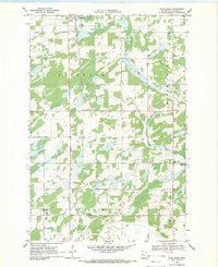
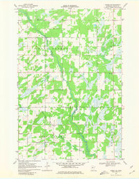
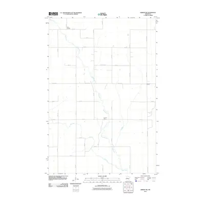
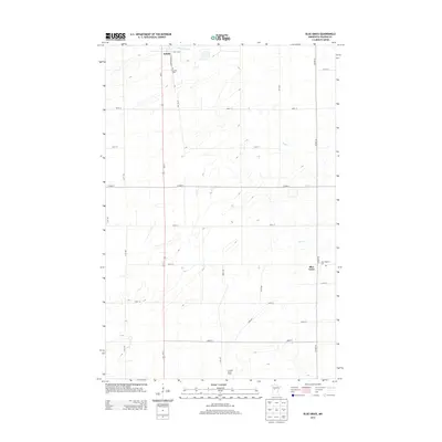
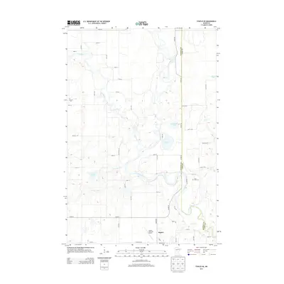
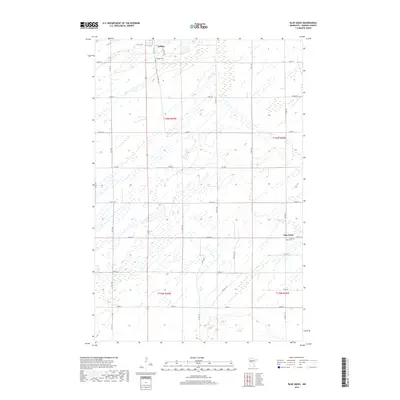
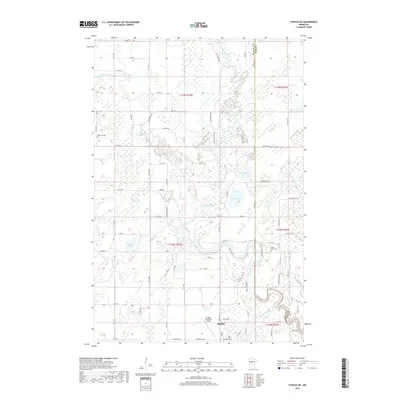
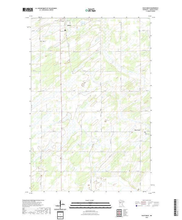
1969 Map of Blue Grass
USGS Topo · Published 1971About this map
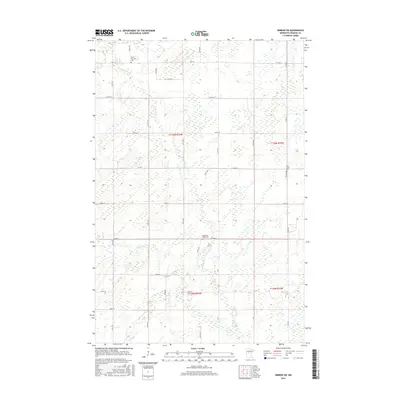
The Redeye River flows across the northern reaches of this Wadena County landscape, where the village of Sebeka sits along the Burlington Northern railroad line. This 1969 survey captures a rural environment structured by township grids and glacial waterways, including Hay Creek and the southern Wing River. The map is particularly rich for local genealogy, noting several community hubs such as School No 2441 and a variety of rural spiritual centers including Zion Ch, Leaf River Ch, and St Huberts Cem.
Find a feature on this map
21 named features on this map. Tap any name to fly to it.
Don’t see what you’re looking for? This feature index may not catch every label — zoom into the map to look around manually.
Map Details
Editions of this 1969 Blue Grass Map
This is the sole edition of this map. No revisions or reprints were ever made.
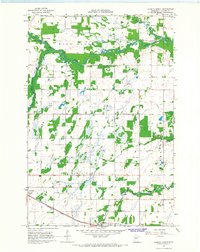
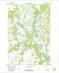
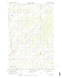
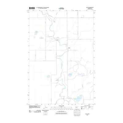
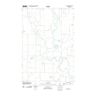
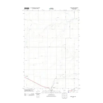
Historical Maps of Sebeka Through Time
36 maps found
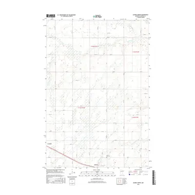
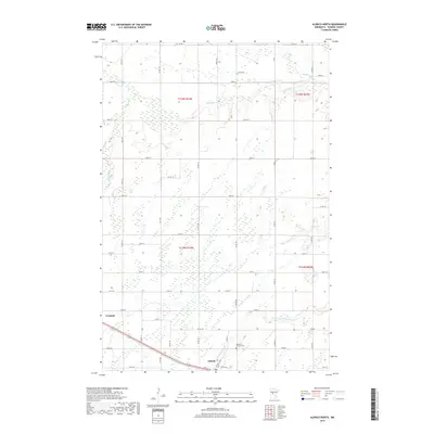
1966 Aldrich North
Wadena County, MN
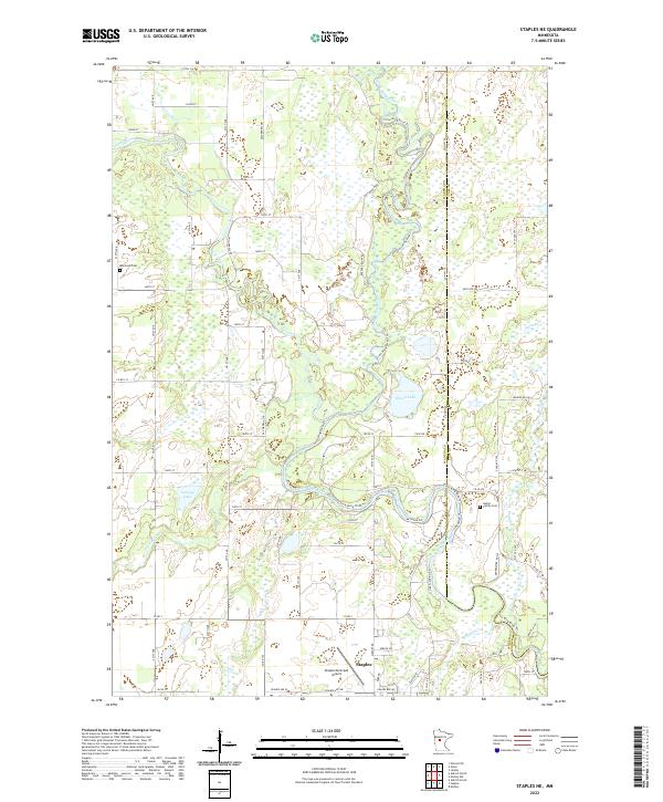
1966 Staples NE
Wadena County, MN
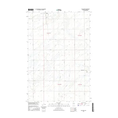
1969 Blue Grass
Wadena County, MN
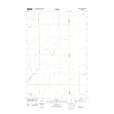
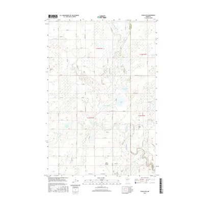
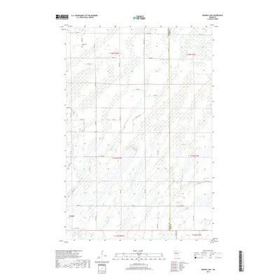
1969 Burgen Lake
Wadena County, MN
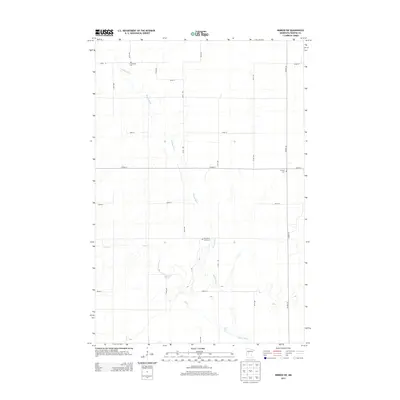
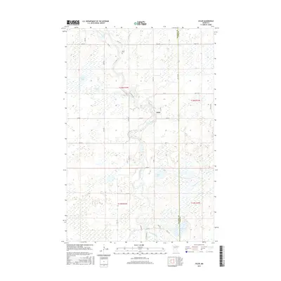
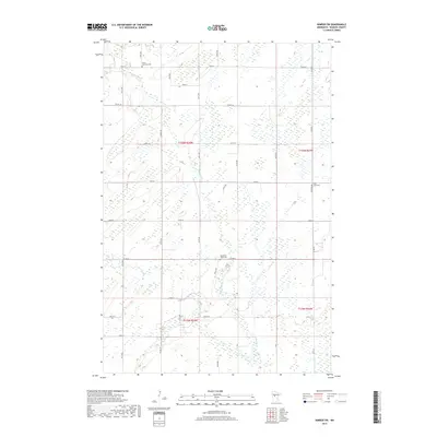
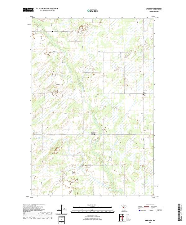
1969 Nimrod SW
Wadena County, MN

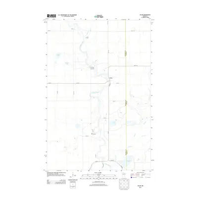
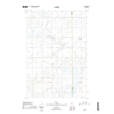
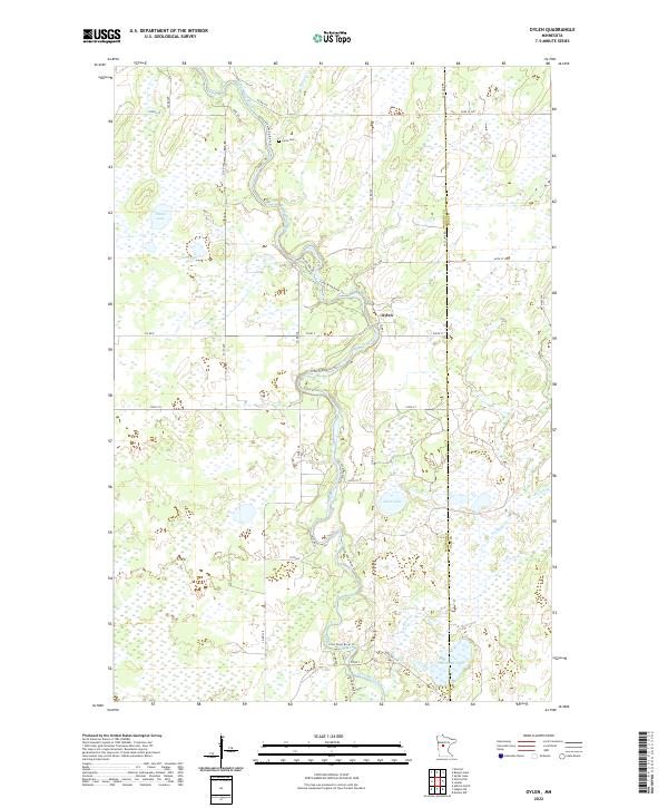
1969 Oylen
Wadena County, MN
2010 Aldrich North
Wadena County, MN
2010 Blue Grass
Wadena County, MN
2010 Burgen Lake
Wadena County, MN
2010 Nimrod SW
Wadena County, MN
2010 Oylen
Wadena County, MN
2010 Staples NE
Wadena County, MN
2013 Aldrich North
Wadena County, MN
2013 Blue Grass
Wadena County, MN
2013 Burgen Lake
Wadena County, MN
2013 Nimrod SW
Wadena County, MN
2013 Oylen
Wadena County, MN
2013 Staples NE
Wadena County, MN
2016 Aldrich North
Wadena County, MN
2016 Blue Grass
Wadena County, MN
2016 Burgen Lake
Wadena County, MN
2016 Nimrod SW
Wadena County, MN
2016 Oylen
Wadena County, MN
2016 Staples NE
Wadena County, MN
2019 Aldrich North
Wadena County, MN
2019 Blue Grass
Wadena County, MN
2019 Burgen Lake
Wadena County, MN
2019 Nimrod SW
Wadena County, MN
2019 Oylen
Wadena County, MN
2019 Staples NE
Wadena County, MN
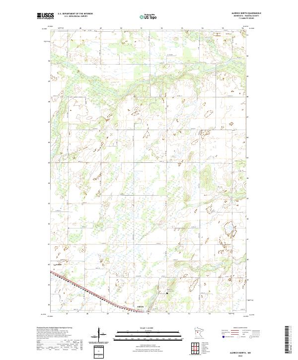
2022 Aldrich North
Wadena County, MN
2022 Blue Grass
Wadena County, MN
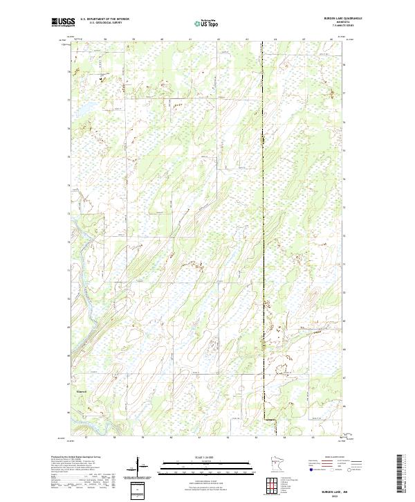
2022 Burgen Lake
Wadena County, MN
2022 Nimrod SW
Wadena County, MN
2022 Oylen
Wadena County, MN
2022 Staples NE
Wadena County, MN