
1969 Map of Sebeka
USGS Topo · Published 1971About this map
Sebeka and Menahga anchor this central Minnesota landscape, where the Burlington Northern railroad corridor dictates the north-south axis of settlement. The terrain is defined by a dense network of small waterways and glacial features, including the Redeye River, Cat River, and Spirit Lake. For genealogists, the map is particularly detailed, locating several family and community landmarks such as Mantyla Cemetery and Jim Cook Cemetery, along with the rural School No 2438 and Meadow Church. The presence of numerous Gravel Pits and a small Landing Strip suggests a local economy rooted in natural resources and regional transport. This era represents a period when the timber and agricultural lands were well-established, marked by the formal Corporate Boundary of the growing villages and the designated sections of Rockwood and North Germany.
Find a feature on this map
28 named features on this map. Tap any name to fly to it.
Don’t see what you’re looking for? This feature index may not catch every label — zoom into the map to look around manually.
Map Details
Editions of this 1969 Sebeka Map
This is the sole edition of this map. No revisions or reprints were ever made.
Other maps of this area

1953 · Brainerd
USGS Topo · 1:250,000

1957 · Brainerd
USGS Topo · 1:250,000

1958 · Brainerd
USGS Topo · 1:250,000

1965 · Brainerd
USGS Topo · 1:250,000

1969 · Sebeka SW
USGS Topo · 1:24,000

1969 · Menahga
USGS Topo · 1:24,000

1969 · Park Rapids SW
USGS Topo · 1:24,000

1969 · Sebeka NW
USGS Topo · 1:24,000
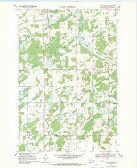
1969 · Blue Grass
USGS Topo · 1:24,000
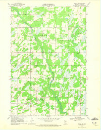
1969 · Nimrod SW
USGS Topo · 1:24,000