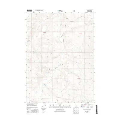
2013 Map of Blue Hill
USGS Topo · Published 2013About this map
Goose Creek defines the central drainage of this landscape as it flows between the high peaks of the Goose Creek Mountains and the eastern boundaries of the Sawtooth National Forest. The map centers on the small settlement of Blue Hill, a node in a network of remote ranching and forest service roads. This 2013 survey illustrates a high-desert environment where water sources are critical landmarks, identified by several named springs including Coal Banks Spring, Sand Spring, and Horseshoe Spring. The terrain is deeply incised by canyons and gulches, such as Big Canyon and Cave Gulch, which likely dictated the placement of historic routes like the Double Diamond Ranch Road. These geographic features reflect the long-standing ranching traditions and land management patterns of Cassia County.
Find a feature on this map
33 named features on this map. Tap any name to fly to it.
Don’t see what you’re looking for? This feature index may not catch every label — zoom into the map to look around manually.
Map Details
Editions of this 2013 Blue Hill Map
This is the sole edition of this map. No revisions or reprints were ever made.
Other maps of this area

1954 · Pocatello
USGS Topo · 1:250,000

1954 · Brigham City
USGS Topo · 1:250,000

1955 · Twin Falls
USGS Topo · 1:250,000

1955 · Wells
USGS Topo · 1:250,000

1958 · Wells
USGS Topo · 1:250,000

1958 · Twin Falls
USGS Topo · 1:250,000

1958 · Pocatello
USGS Topo · 1:250,000

1958 · Brigham City
USGS Topo · 1:250,000

1959 · Cotton Thomas Basin
USGS Topo · 1:62,500

1961 · Wells
USGS Topo · 1:250,000