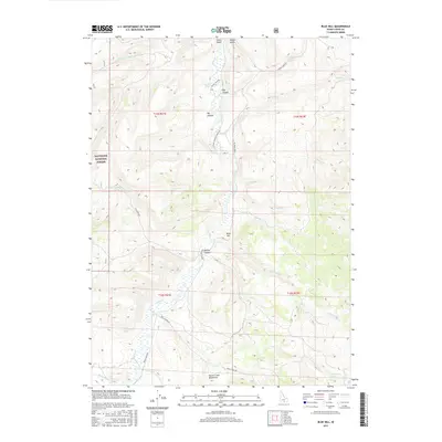
2017 Map of Blue Hill
USGS Topo · Published 2017About this map
The Goose Creek Mountains define the high country of Cassia County in this modern survey, where the drainages of Goose Creek and its many tributaries carve a network of steep canyons. The landscape is marked by essential water sources for high-desert ranching and wildlife, including Horseshoe Spring, Coal Banks Spring, and Worthington Spring. To the west, the map encompasses a portion of the Sawtooth National Forest, illustrating the transition from public forest lands to the surrounding rangeland.
Find a feature on this map
32 named features on this map. Tap any name to fly to it.
Don’t see what you’re looking for? This feature index may not catch every label — zoom into the map to look around manually.
Map Details
Editions of this 2017 Blue Hill Map
This is the sole edition of this map. No revisions or reprints were ever made.
Other maps of this area

1954 · Pocatello
USGS Topo · 1:250,000

1954 · Brigham City
USGS Topo · 1:250,000

1955 · Twin Falls
USGS Topo · 1:250,000

1955 · Wells
USGS Topo · 1:250,000

1958 · Wells
USGS Topo · 1:250,000

1958 · Twin Falls
USGS Topo · 1:250,000

1958 · Pocatello
USGS Topo · 1:250,000

1958 · Brigham City
USGS Topo · 1:250,000

1959 · Cotton Thomas Basin
USGS Topo · 1:62,500

1961 · Wells
USGS Topo · 1:250,000