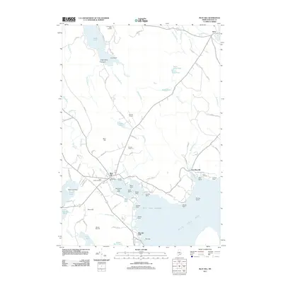
2011 Map of Blue Hill
USGS Topo · Published 2011About this map
Blue Hill serves as the central hub for this coastal Maine landscape, situated where Mill Stream flows into the protected waters of Blue Hill Harbor. The area's deep history is anchored by sites like the Early Settlers Cemetery and the Blue Hill Town Wharf, while the local economy and culture are marked by the Blue Hill Fairground and Blue Hill Airport. To the south, the landscape transitions toward Blue Hill Bay at Blue Hill Falls, a distinctive point of tidal movement near The Nub.
Find a feature on this map
101 named features on this map. Tap any name to fly to it.
Don’t see what you’re looking for? This feature index may not catch every label — zoom into the map to look around manually.
Map Details
Editions of this 2011 Blue Hill Map
This is the sole edition of this map. No revisions or reprints were ever made.
Other maps of this area

1900 · Orland
USGS Topo · 1:62,500

1904 · Mount Desert
USGS Topo · 1:62,500

1904 · Bluehill
USGS Topo · 1:62,500

1905 · Penobscot Bay
USGS Topo · 1:125,000

1911 · Ellsworth
USGS Topo · 1:62,500

1940 · Ellsworth
USGS Topo · 1:62,500

1942 · Orland
USGS Topo · 1:62,500

1942 · Ellsworth
USGS Topo · 1:62,500

1942 · Mount Desert
USGS Topo · 1:62,500

1944 · Blue Hill
USGS Topo · 1:62,500