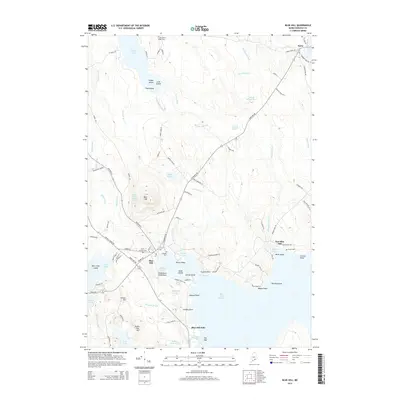
2014 Map of Blue Hill
USGS Topo · Published 2014About this map
Blue Hill rises as the dominant landform in this coastal Maine landscape, overlooking a complex shoreline of coves and saltwater ponds. The settlement pattern follows the contours of the harbor, with the village of Blue Hill and the smaller coastal community of East Blue Hill serving as primary hubs. Along the waterfront, features like Steamboat Field Point and Blue Hill Harbor point to the area's maritime heritage, while the interior is marked by numerous freshwater bodies including Toddy Pond and Beech Island Pond.
Find a feature on this map
106 named features on this map. Tap any name to fly to it.
Don’t see what you’re looking for? This feature index may not catch every label — zoom into the map to look around manually.
Map Details
Editions of this 2014 Blue Hill Map
This is the sole edition of this map. No revisions or reprints were ever made.
Other maps of this area

1900 · Orland
USGS Topo · 1:62,500

1904 · Mount Desert
USGS Topo · 1:62,500

1904 · Bluehill
USGS Topo · 1:62,500

1905 · Penobscot Bay
USGS Topo · 1:125,000

1911 · Ellsworth
USGS Topo · 1:62,500

1940 · Ellsworth
USGS Topo · 1:62,500

1942 · Orland
USGS Topo · 1:62,500

1942 · Ellsworth
USGS Topo · 1:62,500

1942 · Mount Desert
USGS Topo · 1:62,500

1944 · Blue Hill
USGS Topo · 1:62,500