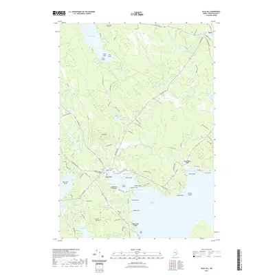
2021 Map of Blue Hill
USGS Topo · Published 2021About this map
Blue Hill rises above the coastline of Blue Hill Harbor, serving as a central geographic anchor for this maritime and wooded Maine landscape. The settlement pattern reflects deep roots in the coastal economy, with villages like Blue Hill Falls and East Blue Hill situated near complex waterways such as The Channel and McHeard Cove. Inland, the terrain is defined by a dense network of freshwater bodies including Toddy Pond, Beech Island Pond, and a series of sequentially named basins from First Pond to Third Pond.
Find a feature on this map
122 named features on this map. Tap any name to fly to it.
Don’t see what you’re looking for? This feature index may not catch every label — zoom into the map to look around manually.
Map Details
Editions of this 2021 Blue Hill Map
This is the sole edition of this map. No revisions or reprints were ever made.
Other maps of this area

1900 · Orland
USGS Topo · 1:62,500

1904 · Mount Desert
USGS Topo · 1:62,500

1904 · Bluehill
USGS Topo · 1:62,500

1905 · Penobscot Bay
USGS Topo · 1:125,000

1911 · Ellsworth
USGS Topo · 1:62,500

1940 · Ellsworth
USGS Topo · 1:62,500

1942 · Orland
USGS Topo · 1:62,500

1942 · Ellsworth
USGS Topo · 1:62,500

1942 · Mount Desert
USGS Topo · 1:62,500

1944 · Blue Hill
USGS Topo · 1:62,500