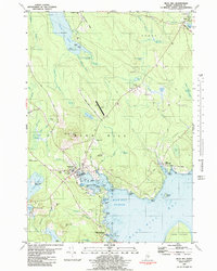
1981 Map of Blue Hill
USGS Topo · Published 1981About this map
The coastal village of Blue Hill serves as the focal point of this Hancock County survey, showcasing a landscape where the granite-quarrying and maritime traditions of Maine intersect with 20th-century development. Institutions such as Stevens Academy and Memorial Hosp anchor the town center, while the presence of the Fairgrounds and Blue Hill Country Club suggests the area's role as a regional hub for recreation and community events. Along the irregular shoreline, numerous points and coves including Parker Point and Mellos Cove indicate a storied history of seafaring and coastal activity, further evidenced by Steamboat Field near the harbor.
Find a feature on this map
93 named features on this map. Tap any name to fly to it.
Don’t see what you’re looking for? This feature index may not catch every label — zoom into the map to look around manually.
Map Details
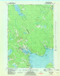
Editions of this 1981 Blue Hill Map
2 editions found
Other maps of this area

1900 · Orland
USGS Topo · 1:62,500

1904 · Mount Desert
USGS Topo · 1:62,500

1904 · Bluehill
USGS Topo · 1:62,500

1905 · Penobscot Bay
USGS Topo · 1:125,000

1911 · Ellsworth
USGS Topo · 1:62,500

1940 · Ellsworth
USGS Topo · 1:62,500

1942 · Orland
USGS Topo · 1:62,500

1942 · Ellsworth
USGS Topo · 1:62,500

1942 · Mount Desert
USGS Topo · 1:62,500

1944 · Blue Hill
USGS Topo · 1:62,500