2024 Map of Blue Island
USGS Topo · Published 2024About this map
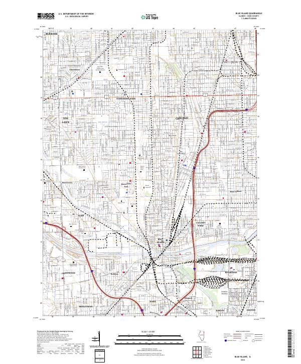
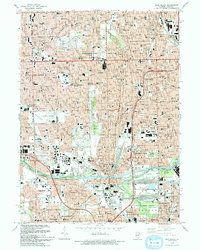
Blue Island and its surrounding communities in southern Cook County are defined by a dense network of residential streets and historic institutional grounds. The topographic elevation of Blue Island Ridge stands out against the low-lying wetlands of the Calumet Sag Channel, which carves through the southern portion of the map near Robbins and Blue Island. This area is notable for its extensive collection of memorial sites and educational landmarks, including Saint Xavier University and a concentration of large cemeteries such as Mount Greenwood Cem, Saint Casimir Catholic Cem, and Mount Olivet Cem. The rail infrastructure is well-represented by the B & O CT RR and Ihb RR, which once fueled the industrial growth of suburbs like Alsip, Crestwood, and Posen. In the north, Evergreen Park and Hometown show a tightly integrated grid system typical of the mid-20th-century Chicago metropolitan expansion.
Find a feature on this map
55 named features on this map. Tap any name to fly to it.
Don’t see what you’re looking for? This feature index may not catch every label — zoom into the map to look around manually.
Map Details
Editions of this 2024 Blue Island Map
This is the sole edition of this map. No revisions or reprints were ever made.
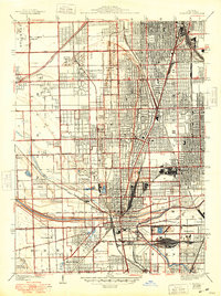
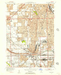
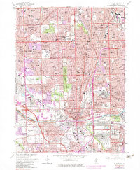
Historical Maps of Roseland Through Time
6 maps found
Featured Locations
- Chicago, IL
- Blue Island, IL
- Oak Lawn, Worth Township
- Oak Forest, Bremen Township
- Burbank, Stickney Township