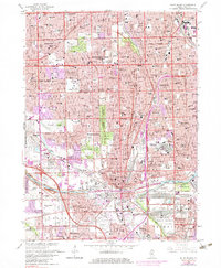
1963 Map of Blue Island
USGS Topo · Published 1983About this map
Blue Island and its surrounding south Chicago suburbs are defined here by a dense concentration of civic, religious, and commercial infrastructure during a period of significant postwar growth. The map illustrates the transition from traditional rail-oriented settlement to auto-centric development, notably at the Evergreen Plaza Shopping Center and along the Tri-State Tollway. Extensive land use is dedicated to massive memorial grounds, including St Casimir Cemetery, Evergreen Cemetery, and Burr Oak Cemetery, which create significant green breaks in the urban grid. The rail network remains a dominant feature, with the Illinois Central Gulf RR and Chicago Rock Island and Pacific RR carving paths through neighborhoods like Evergreen Park and Robbins. Local institutions such as Roseland Hospital and the Academy of Our Lady appear alongside recreational landmarks like the Beverly Country Club, reflecting a mature suburban landscape anchored by established community anchors.
Find a feature on this map
174 named features on this map. Tap any name to fly to it.
Don’t see what you’re looking for? This feature index may not catch every label — zoom into the map to look around manually.
Map Details
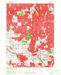
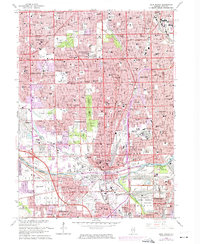
Editions of this 1963 Blue Island Map
3 editions found
Other maps of this area

1889 · Chicago
USGS Topo · 1:62,500

1890 · Des Plaines
USGS Topo · 1:62,500

1891 · Chicago
USGS Topo · 1:62,500

1891 · Riverside
USGS Topo · 1:62,500

1892 · Calumet
USGS Topo · 1:62,500

1893 · Calumet
USGS Topo · 1:62,500

1893 · Riverside
USGS Topo · 1:62,500

1894 · Des Plaines
USGS Topo · 1:62,500

1900 · Chicago
USGS Topo · 1:62,500

1900 · Des Plaines
USGS Topo · 1:62,500