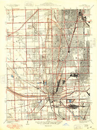
1929 Map of Blue Island
USGS Topo · Published 1948About this map
Industrial expansion and extensive memorial grounds define the Cook County landscape south of the Chicago City Boundary. This 1920s survey, updated in the late 1940s, reveals the dense rail infrastructure surrounding Blue Island, where lines like the Pennsylvania RR and Indiana Harbor Belt RR converge near the Calumet Sag Channel. The map illustrates a transitional period of suburbanization, with established townships like Worth and Bremen hosting burgeoning residential clusters in Evergreen Park, Mount Greenwood, and Oak Lawn.
Find a feature on this map
72 named features on this map. Tap any name to fly to it.
Don’t see what you’re looking for? This feature index may not catch every label — zoom into the map to look around manually.
Map Details
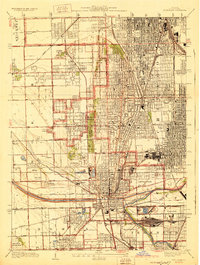
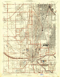
Editions of this 1929 Blue Island Map
3 editions found
Other maps of this area

1889 · Chicago
USGS Topo · 1:62,500

1890 · Des Plaines
USGS Topo · 1:62,500

1891 · Chicago
USGS Topo · 1:62,500

1891 · Riverside
USGS Topo · 1:62,500

1892 · Calumet
USGS Topo · 1:62,500

1893 · Calumet
USGS Topo · 1:62,500

1893 · Riverside
USGS Topo · 1:62,500

1894 · Des Plaines
USGS Topo · 1:62,500

1900 · Chicago
USGS Topo · 1:62,500

1900 · Des Plaines
USGS Topo · 1:62,500