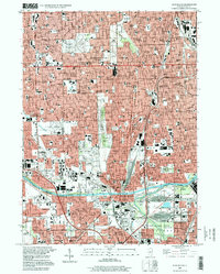
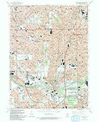
1997 Map of Blue Island
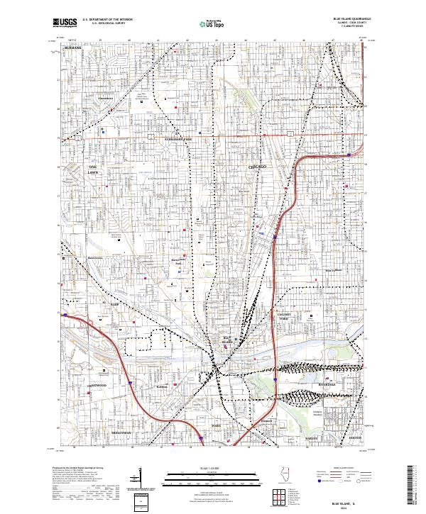
USGS Topo · Published 1999About this map
Evergreen Park and Blue Island anchor this late-twentieth-century study of the southern Cook County suburbs, a landscape defined by an extensive network of large cemeteries and institutional campuses. Significant burial grounds including St Marys Cemetery, Mt Greenwood Cemetery, and Cedar Park Cemetery occupy vast tracts between established neighborhoods. The industrial and transit character of the region is evident along the Calumet Sag Channel and the Little Calumet River, where the Union Pacific Railroad intersects with the waterway infrastructure. Local education and healthcare centers like St Xavier College and Christ Hospital stand as major landmarks within the dense residential grids of Oak Lawn and Chicago. The map also preserves the path of the Old Indian Boundary, which cuts diagonally across the townships, reflecting the early surveying history of the Illinois frontier.
Find a feature on this map
69 named features on this map. Tap any name to fly to it.
Don’t see what you’re looking for? This feature index may not catch every label — zoom into the map to look around manually.
Map Details
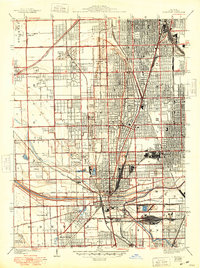
Editions of this 1997 Blue Island Map
This is the sole edition of this map. No revisions or reprints were ever made.
Historical Maps of Chicago Through Time
6 maps found
Featured Locations
- Chicago, IL
- Blue Island, IL
- Oak Lawn, Worth Township
- Oak Forest, Bremen Township
- Burbank, Stickney Township