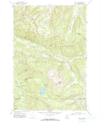
1970 Map of Blue Lake
USGS Topo · Published 1973About this map
Gifford Pinchot National Forest dominates this mountain landscape, which is defined by the high elevations of Blue Lake Ridge and prominent summits like Twin Sisters and Castle Butte. At the heart of the area, Blue Lake serves as a focal point for recreation, supported by the Blue Lake Creek Campground and Blue Lake Camp Picnic Area. The terrain is deeply carved by the North Fork Cispus River and its numerous tributaries, including Smoothrock Creek and Jackpot Creek. The map documents a rugged wilderness network before modern development, relying on a system of pack trails such as the Pompey Peak Trail to navigate the steep drainages. A notable footbridge crosses the water near the lake outlet, while small-scale industrial presence is limited to a single Gravel Pit along the river valley floor.
Find a feature on this map
33 named features on this map. Tap any name to fly to it.
Don’t see what you’re looking for? This feature index may not catch every label — zoom into the map to look around manually.
Map Details
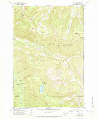
Editions of this 1970 Blue Lake Map
2 editions found
Other maps of this area

1924 · Mt Rainier
USGS Topo · 1:96,000

1926 · Steamboat Mtn
USGS Topo · 1:125,000

1928 · Mt Rainier
USGS Topo · 1:125,000

1931 · Steamboat Mtn
USGS Topo · 1:125,000

1950 · Yakima
USGS Topo · 1:250,000

1958 · Yakima
USGS Topo · 1:250,000

1961 · Yakima
USGS Topo · 1:250,000

1962 · Randle
USGS Topo · 1:62,500

1962 · Packwood
USGS Topo · 1:62,500
1965 · Tower Rock
USGS Topo · 1:24,000