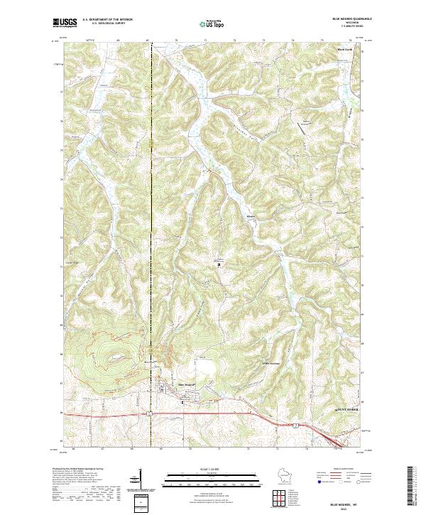
2022 Map of Blue Mounds
USGS Topo · Published 2022About this map
The rolling Driftless Area landscape at the border of Iowa and Dane counties is dominated by the prominent peaks of the Blue Mounds. This 2022 survey details the high-elevation terrain between Mount Horeb and the village of Black Earth, highlighting the significant drainage networks of the West Branch Blue Mounds Creek and East Branch Blue Mounds Creek. The map records a mix of agricultural heritage and modern recreational transition, featuring the Military Ridge State Trail and the heritage site of Little Norway. Local history is anchored by spiritual and community landmarks such as Saint James Catholic Cem and the West Blue Mounds Lutheran Cem, while the rugged relief is defined by Walnut Hollow and Pleasant Valley. These features collectively illustrate the enduring rural character of southwestern Wisconsin.
Find a feature on this map
73 named features on this map. Tap any name to fly to it.
Don’t see what you’re looking for? This feature index may not catch every label — zoom into the map to look around manually.
Map Details
Editions of this 2022 Blue Mounds Map
This is the sole edition of this map. No revisions or reprints were ever made.
Other maps of this area

1907 · Cross Plains
USGS Topo · 1:62,500

1909 · Cross Plains
USGS Topo · 1:62,500

1920 · Blue Mounds
USGS Topo · 1:62,500

1922 · Blue Mounds
USGS Topo · 1:62,500

1923 · Blanchardville
USGS Topo · 1:62,500

1923 · New Glarus
USGS Topo · 1:62,500

1954 · Rockford
USGS Topo · 1:250,000

1955 · Rockford
USGS Topo · 1:250,000

1957 · Madison
USGS Topo · 1:250,000

1958 · Rockford
USGS Topo · 1:250,000