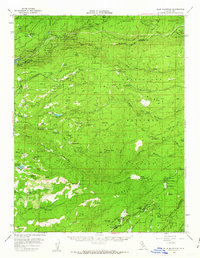
1956 Map of Blue Mountain
USGS Topo · Published 1963About this map
Calaveras Big Trees State Park and the deep canyons of the Middle Fork Mokelumne River anchor this mid-century survey of the Sierra Nevada foothills. The landscape is defined by the transition from high-elevation timberlands in the Eldorado National Forest to the mining and ranching outposts of Amador and Calaveras counties. Evidence of the region’s hydraulic and industrial history is visible in the Panther Portal siphon and the Tiger Creek Reservoir powerhouse, while the remains of the timber and gold rushes are marked at locations like the Tough Mill (Site) and the Heckendorn Mine.
Find a feature on this map
77 named features on this map. Tap any name to fly to it.
Don’t see what you’re looking for? This feature index may not catch every label — zoom into the map to look around manually.
Map Details
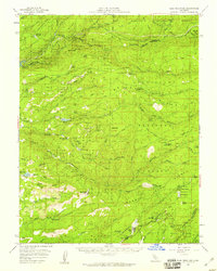
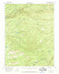
Editions of this 1956 Blue Mountain Map
3 editions found
Other maps of this area

1889 · Jackson
USGS Topo · 1:125,000

1889 · Pyramid Peak
USGS Topo · 1:125,000

1891 · Big Trees
USGS Topo · 1:125,000

1891 · Placerville
USGS Topo · 1:125,000

1891 · Pyramid Peak
USGS Topo · 1:125,000

1892 · Jackson
USGS Topo · 1:125,000

1892 · Placerville
USGS Topo · 1:125,000

1893 · Placerville
USGS Topo · 1:125,000

1894 · Big Trees
USGS Topo · 1:125,000

1895 · Pyramid Peak
USGS Topo · 1:125,000