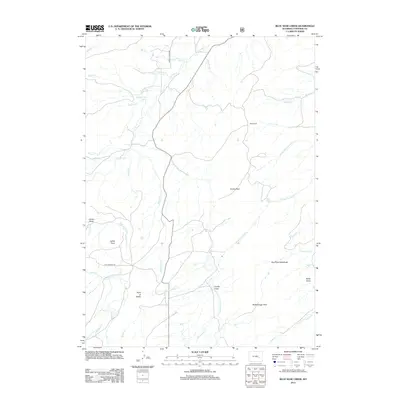
2012 Map of Blue Nose Creek
USGS Topo · Published 2012About this map
Point of Rocks serves as a central landmark in this high-plains landscape of central Wyoming, where a complex network of seasonal creeks and drainage draws defines the terrain. The hydrological pattern is dominated by the northward flow of La Prele Cr and the winding Blue Nose Cr, which lend their names to the surrounding topography. Notable mountain passages like Virden Pass and Redenbaugh Pass indicate the historical routes used to navigate the elevation changes between the grassy reaches of Moses Park and the lower drainage basins.
Find a feature on this map
36 named features on this map. Tap any name to fly to it.
Don’t see what you’re looking for? This feature index may not catch every label — zoom into the map to look around manually.
Map Details
Editions of this 2012 Blue Nose Creek Map
This is the sole edition of this map. No revisions or reprints were ever made.
Other maps of this area

1954 · Torrington
USGS Topo · 1:250,000

1958 · Torrington
USGS Topo · 1:250,000

1964 · School Section Mountain
USGS Topo · 1:24,000
1964 · Hermit Rock
USGS Topo · 1:24,000

1964 · Buffalo Peak
USGS Topo · 1:24,000
1964 · Maneater Creek
USGS Topo · 1:24,000
1964 · Blue Nose Creek
USGS Topo · 1:24,000

1964 · Saddleback Mountain
USGS Topo · 1:24,000
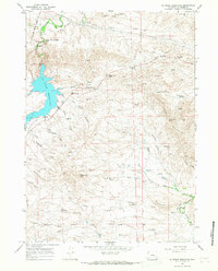
1964 · La Prele Reservoir
USGS Topo · 1:24,000
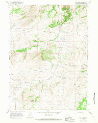
1964 · Root Creek
USGS Topo · 1:24,000