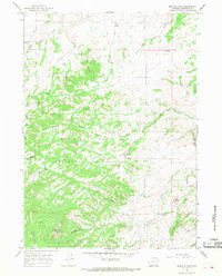
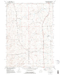
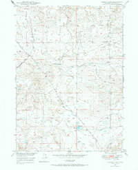
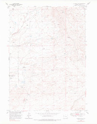
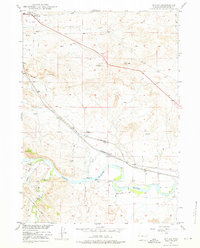
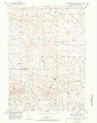
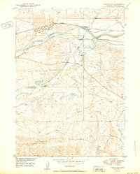
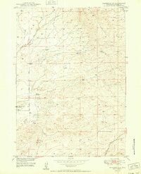
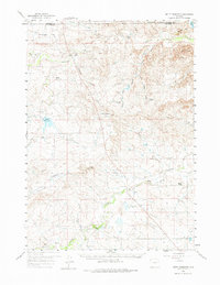
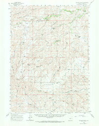
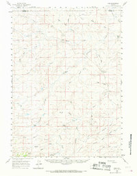
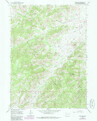
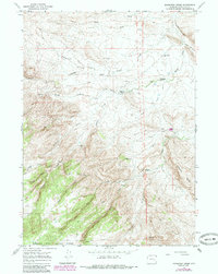
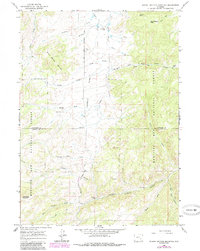
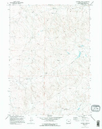
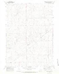
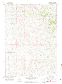
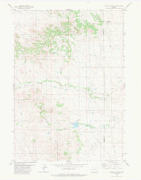
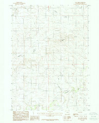
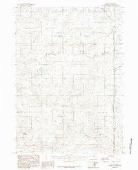
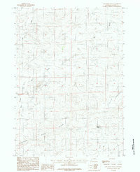
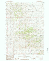
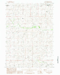
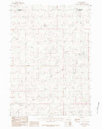
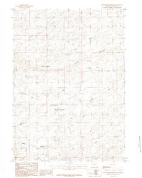
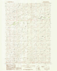
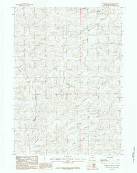
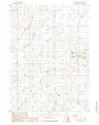
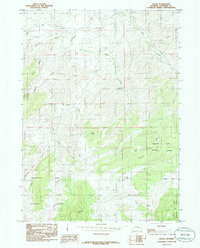
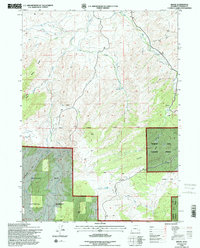
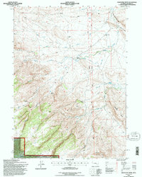
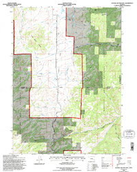
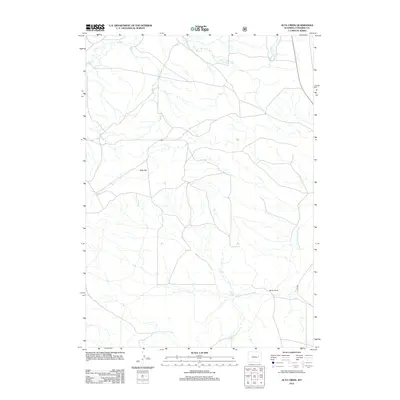
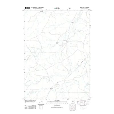
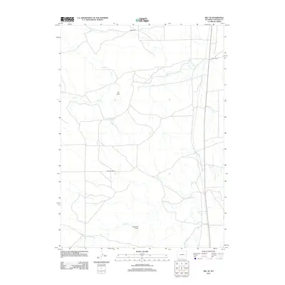
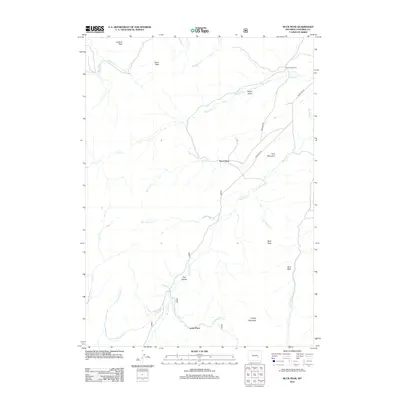
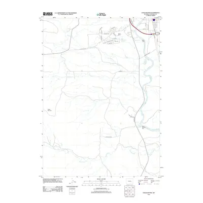
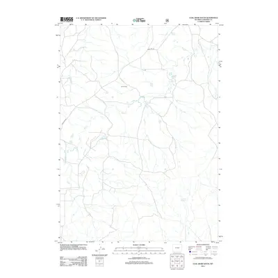
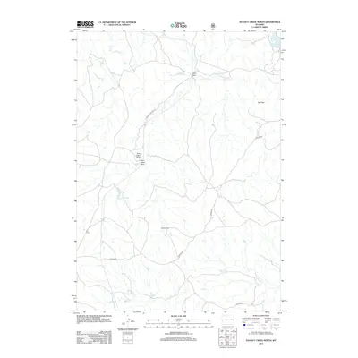
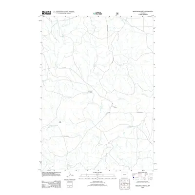
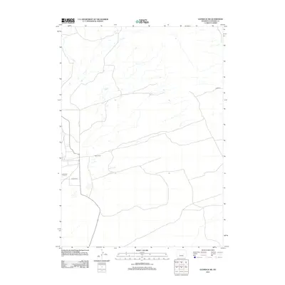
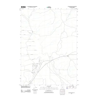
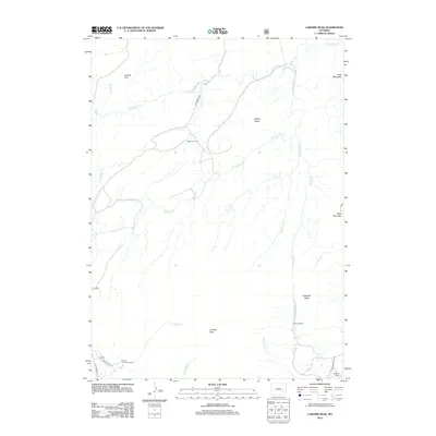
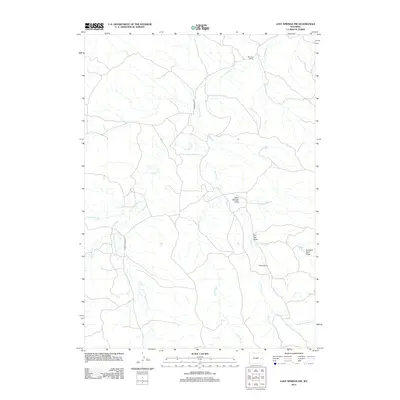
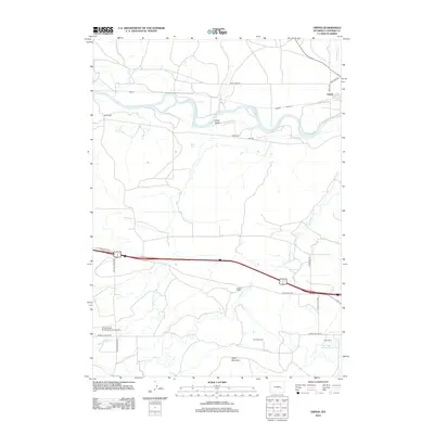
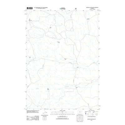
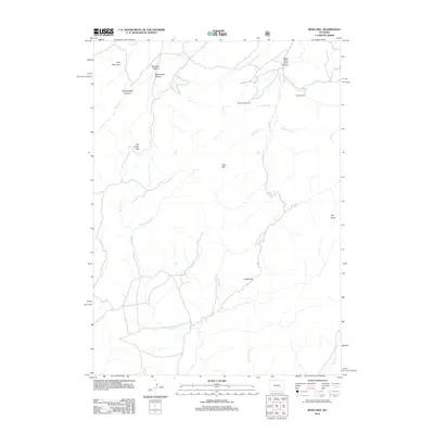
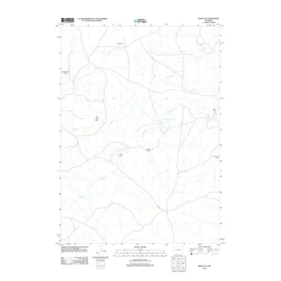
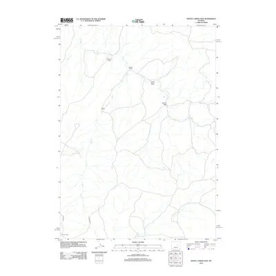
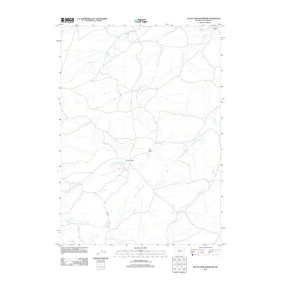
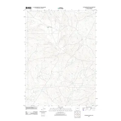
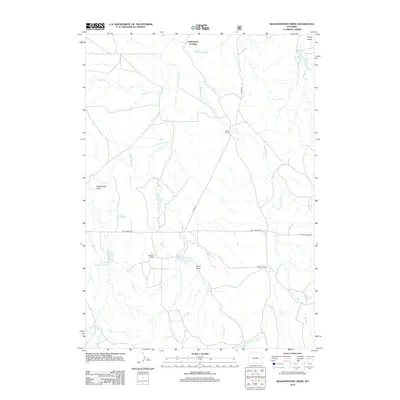
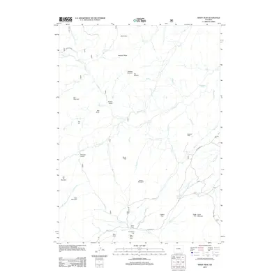
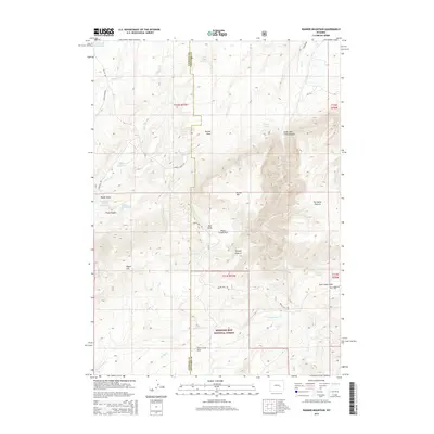
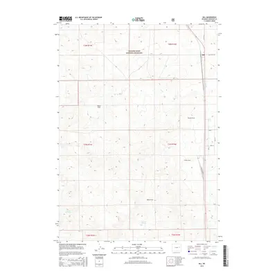
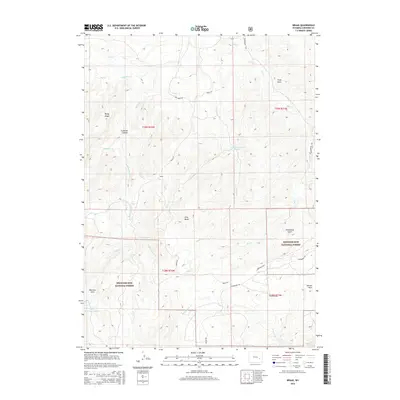
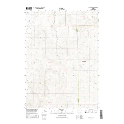
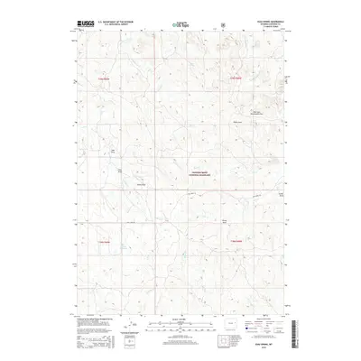
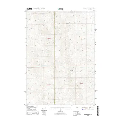
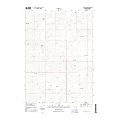
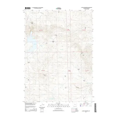
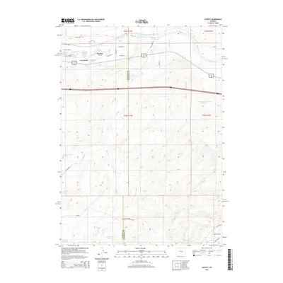
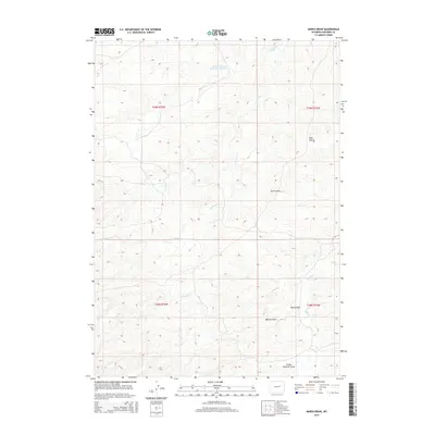
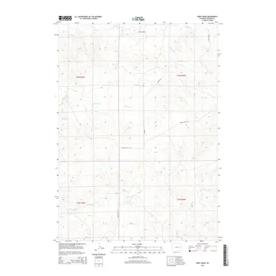
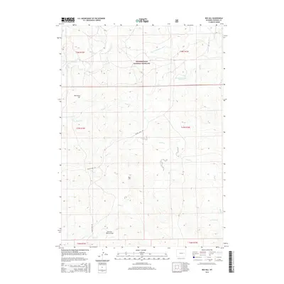
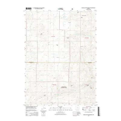
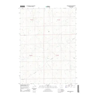
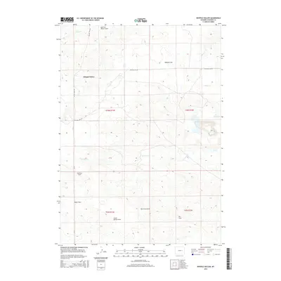
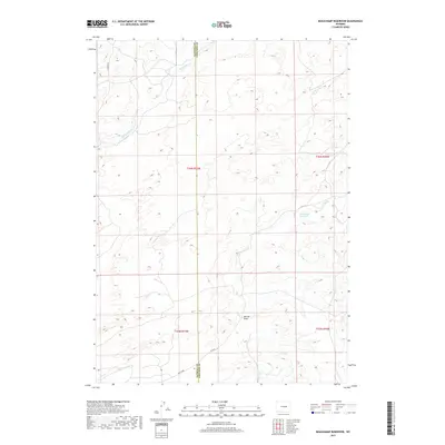
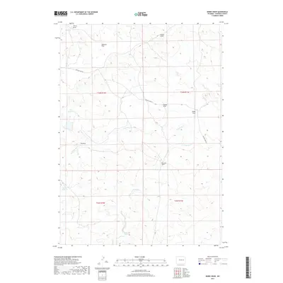
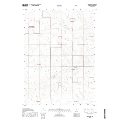
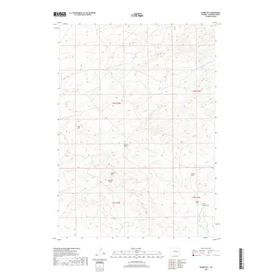
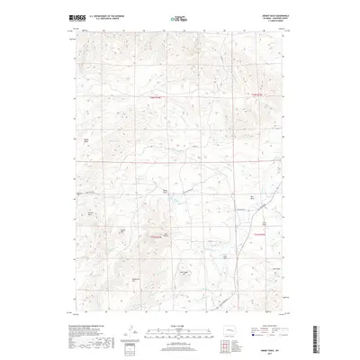
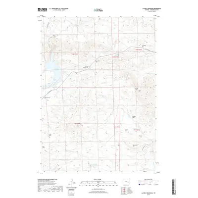
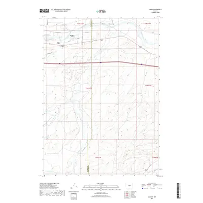
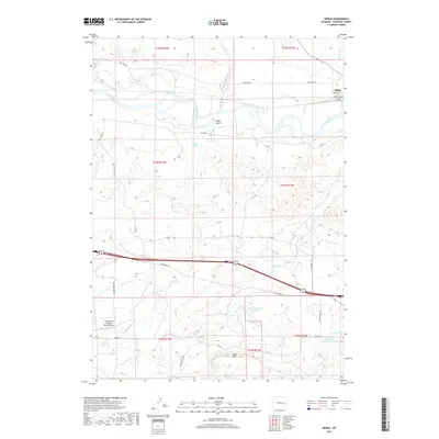
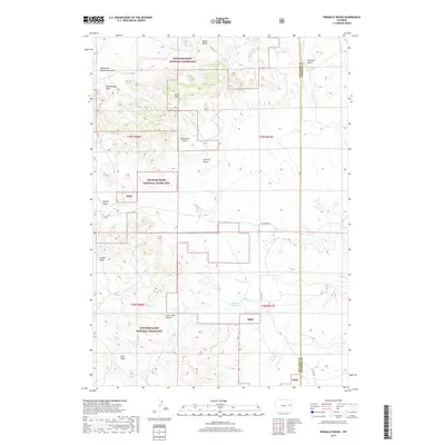
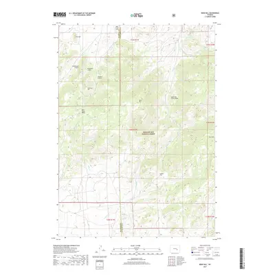
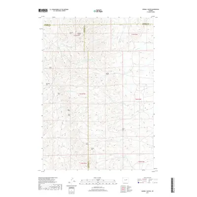
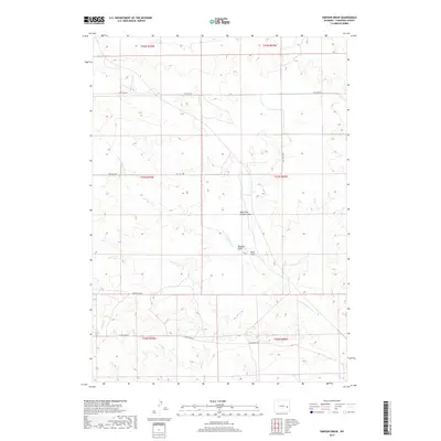
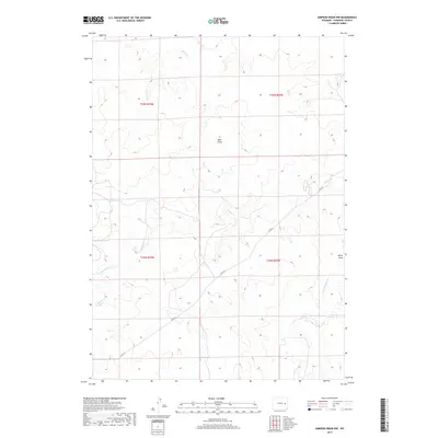
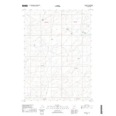
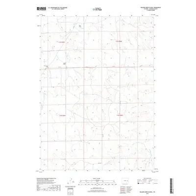
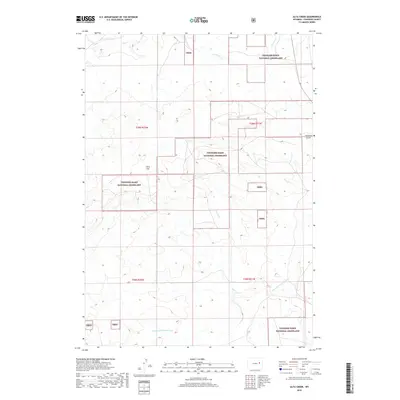
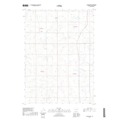
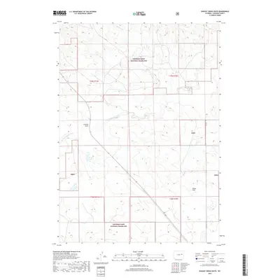
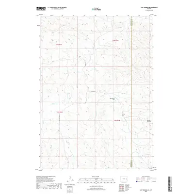
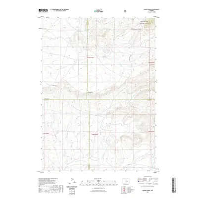
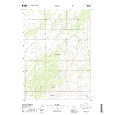
1964 Map of Buffalo Peak
USGS Topo · Published 1968About this map
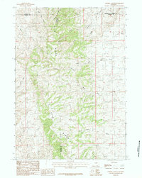
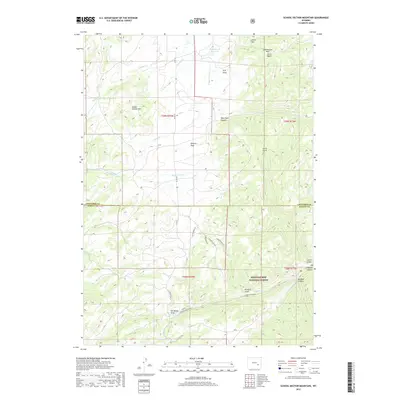
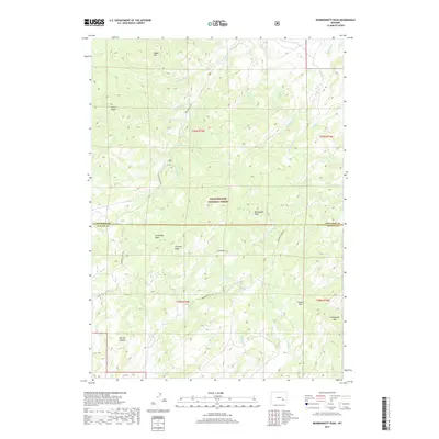
Boxelder and the surrounding high country of Converse County are defined by a network of drainage systems and summits within the Medicine Bow National Forest in the mid-1960s. The landscape is characterized by isolated outposts like Silver Spruce Lodge and mining-era claims such as Ollins Lode. Significant water sources, including Boiler Spring and Cold Spring, suggest the vital importance of water rights in this arid environment, while the presence of Box Elder School Mtn hints at the location of early community education centers now integrated into the geographic nomenclature.
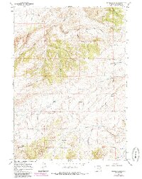
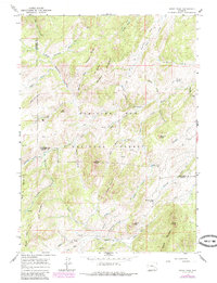
Find a feature on this map
79 named features on this map. Tap any name to fly to it.
Don’t see what you’re looking for? This feature index may not catch every label — zoom into the map to look around manually.
Map Details
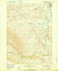
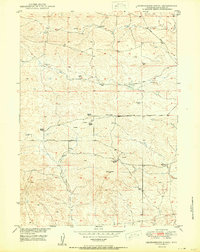
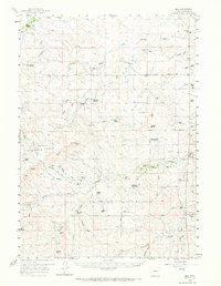
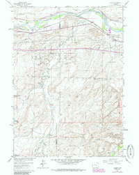
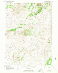
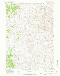
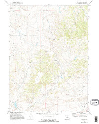
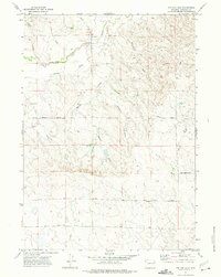
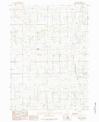
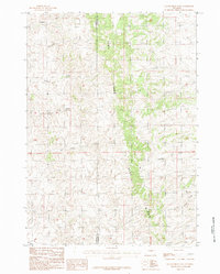
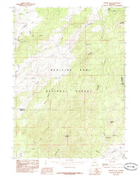
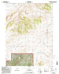
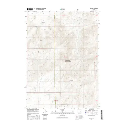
Editions of this 1964 Buffalo Peak Map
2 editions found
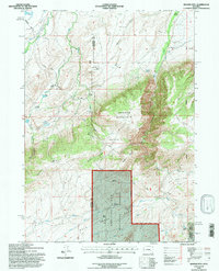
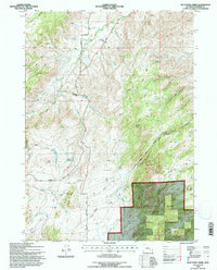
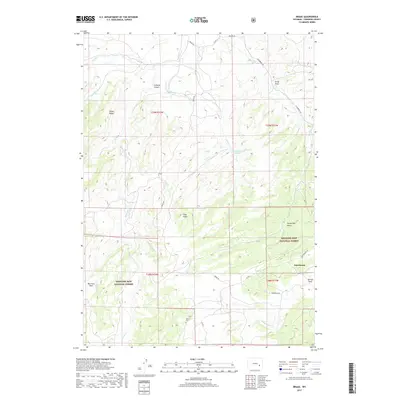
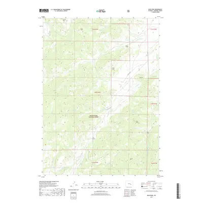
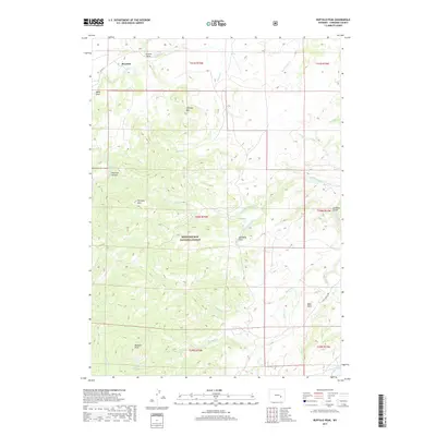
Historical Maps of Boxelder Through Time
449 maps found

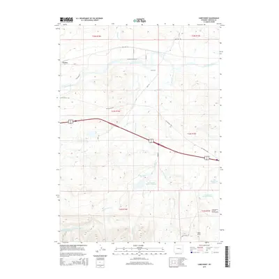
1949 Antelope Creek
Converse County, WY
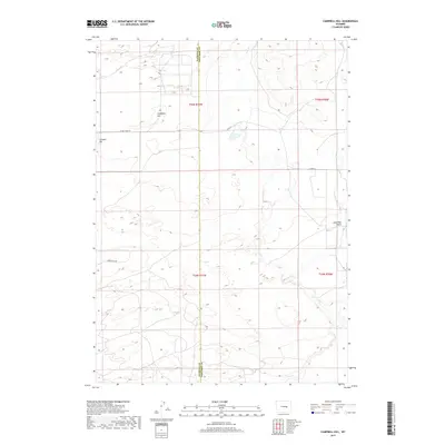
1949 Campbell Hill
Converse County, WY
1949 Careyhurst
Converse County, WY
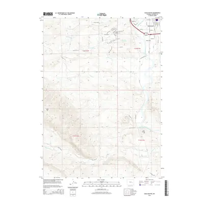
1949 Chalk Buttes
Converse County, WY
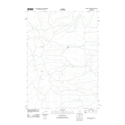
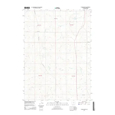
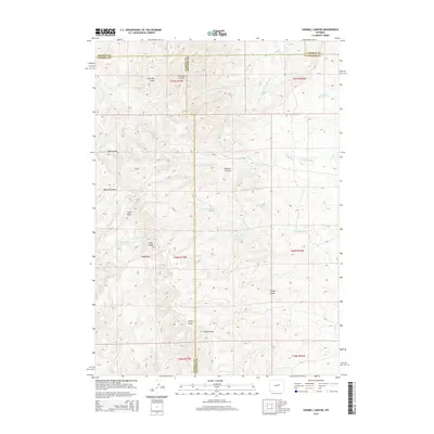
1949 Clausen Ranch
Converse County, WY

1949 Dilts Ranch
Converse County, WY
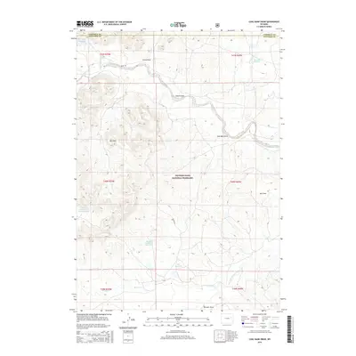
1949 Gilbert Lake
Converse County, WY
1949 Glenrock NW
Converse County, WY

1949 Hylton Ranch
Converse County, WY
1949 Irvine
Converse County, WY
1949 Leuenberger Ranch
Converse County, WY
1949 Orpha
Converse County, WY
1949 Parkerton
Converse County, WY

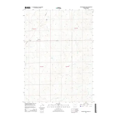
1949 Poison Lake
Converse County, WY

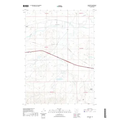
1949 Shawnee
Converse County, WY
1949 Sundquist Ranch
Converse County, WY

1950 Amend Ranch
Converse County, WY

1950 Antelope Creek
Converse County, WY

1950 Campbell Hill
Converse County, WY
1950 Careyhurst
Converse County, WY
1950 Chalk Buttes
Converse County, WY
1950 Clausen Ranch
Converse County, WY

1950 Dilts Ranch
Converse County, WY
1950 Gilbert Lake
Converse County, WY
1950 Glenrock NW
Converse County, WY

1950 Hylton Ranch
Converse County, WY

1950 Irvine
Converse County, WY
1950 Leuenberger Ranch
Converse County, WY

1950 Lockett
Converse County, WY
1950 Orpha
Converse County, WY

1950 Parkerton
Converse County, WY

1950 Poison Lake
Converse County, WY

1950 Shawnee
Converse County, WY
1950 Sundquist Ranch
Converse County, WY
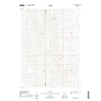
1959 Betty Reservoir
Converse County, WY
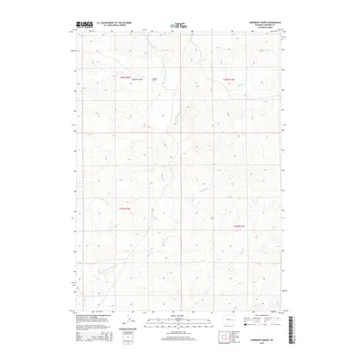
1959 Bill
Converse County, WY
1959 Coal Draw
Converse County, WY
1959 Fifty-Five Ranch
Converse County, WY
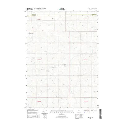
1959 Highland Flats
Converse County, WY
1959 Squaw Spring
Converse County, WY
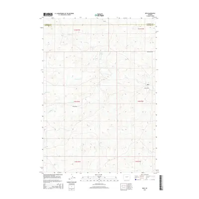
1960 Banner Mtn
Converse County, WY
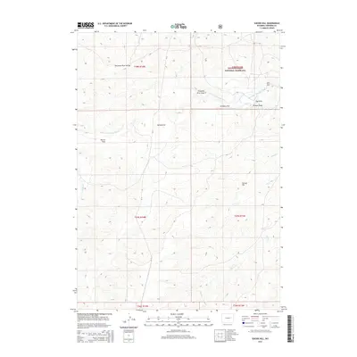
1960 Reno Hill
Converse County, WY
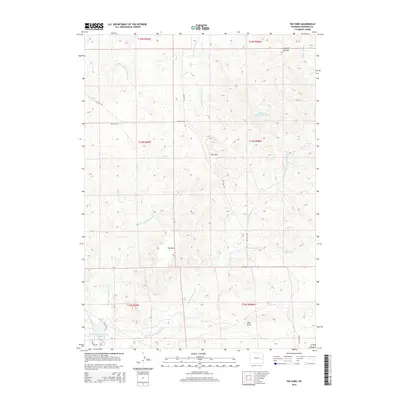
1960 Ross
Converse County, WY
1961 Lockett
Converse County, WY
1961 Shawnee
Converse County, WY
1964 Blue Nose Creek
Converse County, WY
1964 Buck Peak
Converse County, WY
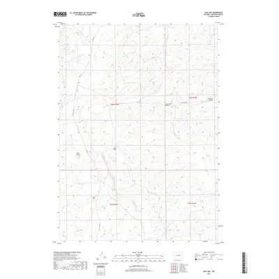
1964 Buffalo Peak
Converse County, WY
1964 Hermit Rock
Converse County, WY
1964 La Prele Reservoir
Converse County, WY
1964 Maneater Creek
Converse County, WY
1964 Protsmans Knob
Converse County, WY

1964 Rock Creek
Converse County, WY
1964 Root Creek
Converse County, WY
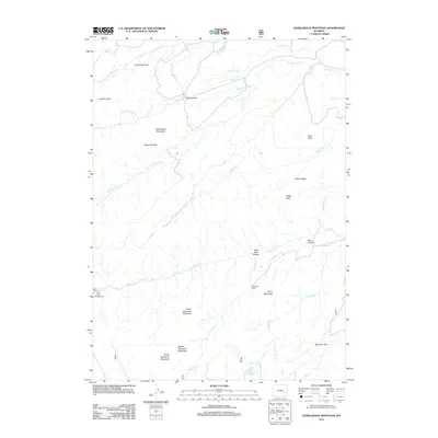
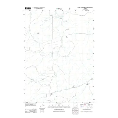
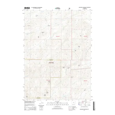
1964 Saddleback Mountain
Converse County, WY
1964 School Section Mountain
Converse County, WY

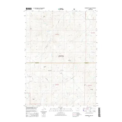
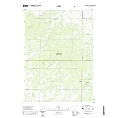
1964 Warbonnet Peak
Converse County, WY
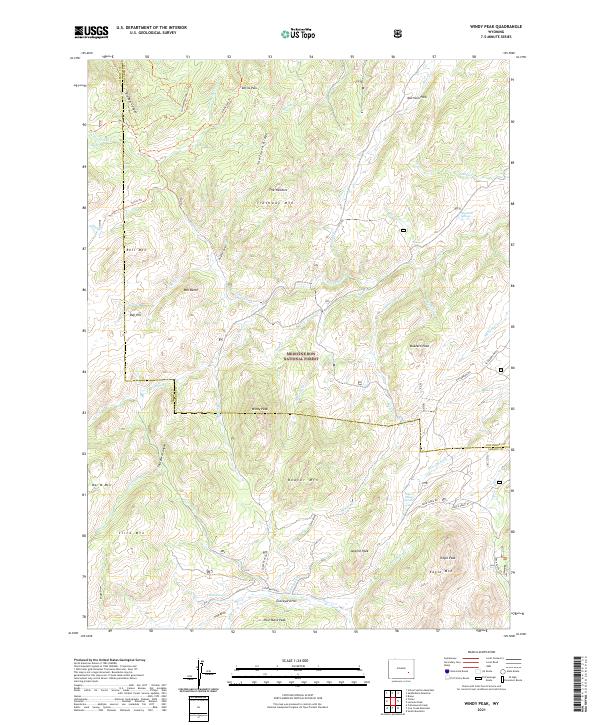
1964 Windy Peak
Converse County, WY
1970 Colter Draw
Converse County, WY
1970 Ireton Draw
Converse County, WY
1970 Lightning Creek
Converse County, WY
1970 Lost Springs NW
Converse County, WY
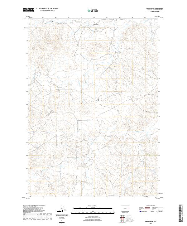
1970 Piney Creek
Converse County, WY
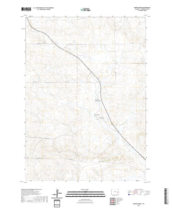
1970 Simpson Draw
Converse County, WY
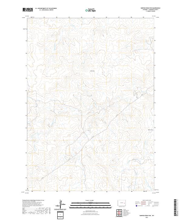
1970 Simpson Draw NW
Converse County, WY
1970 The Park
Converse County, WY
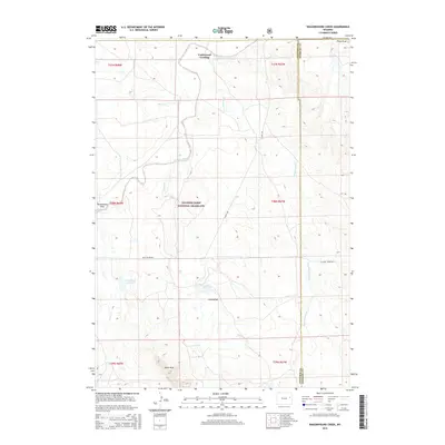
1970 Walker Creek School
Converse County, WY
1971 Coal Bank Draw
Converse County, WY
1971 Esau Spring
Converse County, WY

1971 Fiddleback Ranch
Converse County, WY
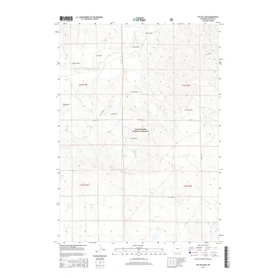
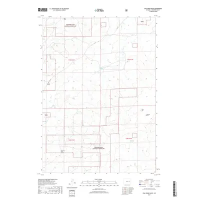
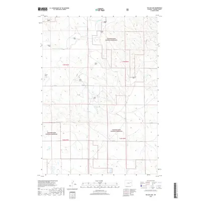
1971 Tin Can Lake
Converse County, WY
1973 Antelope Creek
Converse County, WY
1979 Bill
Converse County, WY
1981 Pinnacle Rocks
Converse County, WY
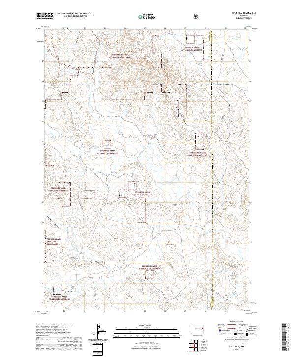
1981 Split Hill
Converse County, WY
1981 Split Hill SW
Converse County, WY
1981 Wagonhound Creek
Converse County, WY
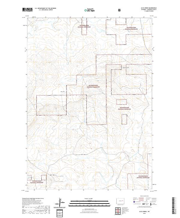
1984 Alta Creek
Converse County, WY
1984 Bear Creek
Converse County, WY
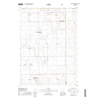
1984 Beauchamp Reservoir
Converse County, WY
1984 Betty Reservoir
Converse County, WY
1984 Bill
Converse County, WY
1984 Bill SE
Converse County, WY
1984 Bobby Draw
Converse County, WY
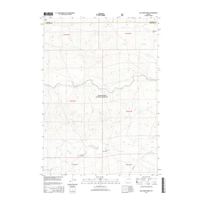
1984 Coal Draw North
Converse County, WY
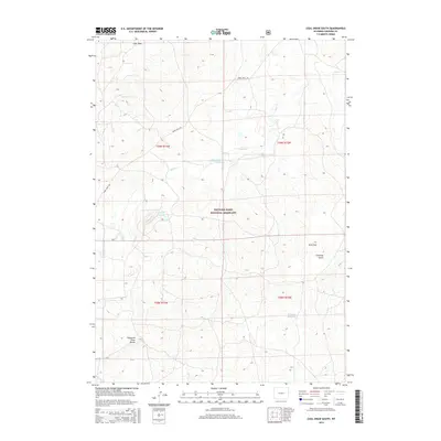
1984 Coal Draw South
Converse County, WY
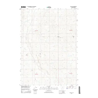
1984 Coal Hill
Converse County, WY
1984 Dugout Creek North
Converse County, WY
1984 Dugout Creek South
Converse County, WY
1984 Fly Draw
Converse County, WY
1984 Gillam Draw East
Converse County, WY
1984 Gumbo Hill
Converse County, WY
1984 Holdup Hollow
Converse County, WY
1984 Macken Draw
Converse County, WY
1984 Marsh Draw
Converse County, WY
1984 Patsy Draw
Converse County, WY
1984 Red Hill
Converse County, WY
1984 Ross
Converse County, WY
1984 Ross Flat
Converse County, WY
1984 Sawmill Canyon
Converse County, WY
1984 Seven L Creek East
Converse County, WY
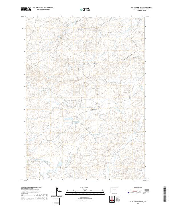
1984 South Fork Reservoir
Converse County, WY
1984 Suicide Hill
Converse County, WY
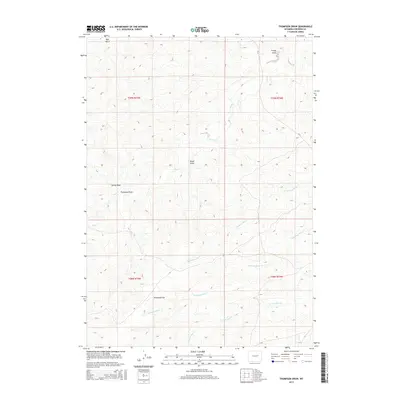
1984 Thompson Draw
Converse County, WY
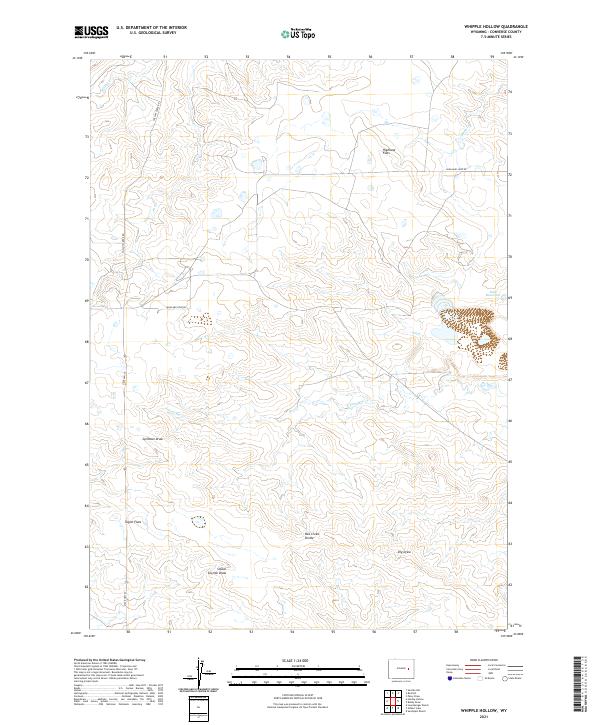
1984 Whipple Hollow
Converse County, WY
1985 Braae
Converse County, WY
1985 Laramie Peak
Converse County, WY
1992 Banner Mtn
Converse County, WY
1992 Blue Nose Creek
Converse County, WY
1992 Braae
Converse County, WY
1992 Buck Peak
Converse County, WY
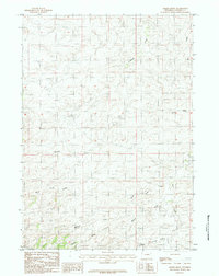
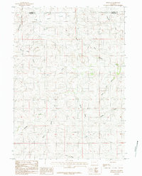
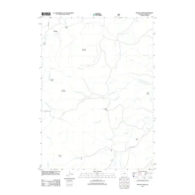
1992 Buffalo Peak
Converse County, WY
1992 Laramie Peak
Converse County, WY
1992 Maneater Creek
Converse County, WY
1992 Protsmans Knob
Converse County, WY
1992 Reno Hill
Converse County, WY

1992 Rock Creek
Converse County, WY
1992 Saddleback Mtn
Converse County, WY
1992 School Section Mtn
Converse County, WY
1992 Squaw Spring
Converse County, WY
1992 Warbonnet Peak
Converse County, WY
1992 Windy Peak
Converse County, WY
2012 Alta Creek
Converse County, WY
2012 Amend Ranch
Converse County, WY
2012 Antelope Creek
Converse County, WY
2012 Banner Mountain
Converse County, WY
2012 Bear Creek
Converse County, WY
2012 Beauchamp Reservoir
Converse County, WY
2012 Betty Reservoir
Converse County, WY
2012 Bill
Converse County, WY
2012 Bill SE
Converse County, WY
2012 Blue Nose Creek
Converse County, WY
2012 Bobby Draw
Converse County, WY
2012 Braae
Converse County, WY
2012 Buck Peak
Converse County, WY
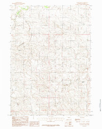
2012 Buffalo Peak
Converse County, WY
2012 Campbell Hill
Converse County, WY
2012 Careyhurst
Converse County, WY
2012 Chalk Buttes
Converse County, WY
2012 Clausen Ranch
Converse County, WY
2012 Coal Bank Draw
Converse County, WY
2012 Coal Draw North
Converse County, WY
2012 Coal Draw South
Converse County, WY
2012 Coal Hill
Converse County, WY
2012 Colter Draw
Converse County, WY
2012 Dilts Ranch
Converse County, WY
2012 Dugout Creek North
Converse County, WY
2012 Dugout Creek South
Converse County, WY
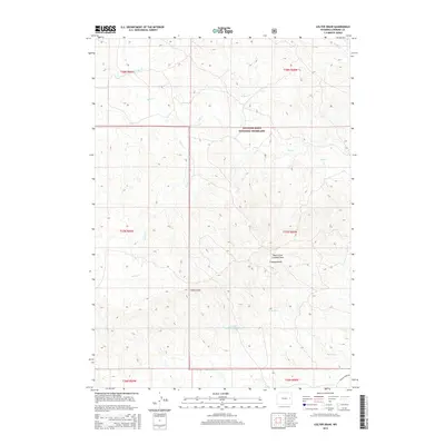
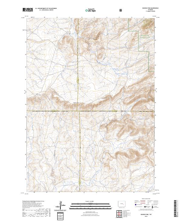
2012 Dugway Rim
Converse County, WY
2012 Esau Spring
Converse County, WY
2012 Fiddleback Ranch
Converse County, WY
2012 Fly Draw
Converse County, WY
2012 Gilbert Lake
Converse County, WY
2012 Gillam Draw East
Converse County, WY
2012 Glenrock NW
Converse County, WY
2012 Gumbo Hill
Converse County, WY
2012 Hermit Rock
Converse County, WY
2012 Holdup Hollow
Converse County, WY
2012 Hylton Ranch
Converse County, WY
2012 Ireton Draw
Converse County, WY
2012 Irvine
Converse County, WY
2012 La Prele Reservoir
Converse County, WY
2012 Laramie Peak
Converse County, WY
2012 Leuenberger Ranch
Converse County, WY
2012 Lightning Creek
Converse County, WY
2012 Lockett
Converse County, WY
2012 Lost Springs NW
Converse County, WY
2012 Macken Draw
Converse County, WY
2012 Maneater Creek
Converse County, WY
2012 Marsh Draw
Converse County, WY
2012 Orpha
Converse County, WY
2012 Parkerton
Converse County, WY
2012 Patsy Draw
Converse County, WY
2012 Piney Creek
Converse County, WY
2012 Pinnacle Rocks
Converse County, WY
2012 Poison Lake
Converse County, WY
2012 Protsmans Knob
Converse County, WY
2012 Red Hill
Converse County, WY
2012 Reno Hill
Converse County, WY
2012 Rock Creek
Converse County, WY
2012 Root Creek
Converse County, WY
2012 Ross
Converse County, WY
2012 Ross Flat
Converse County, WY
2012 Saddleback Mountain
Converse County, WY
2012 Sawmill Canyon
Converse County, WY
2012 School Section Mountain
Converse County, WY
2012 Seven L Creek East
Converse County, WY
2012 Shawnee
Converse County, WY
2012 Simpson Draw
Converse County, WY
2012 Simpson Draw NW
Converse County, WY
2012 South Fork Reservoir
Converse County, WY
2012 Split Hill
Converse County, WY
2012 Split Hill SW
Converse County, WY
2012 Suicide Hill
Converse County, WY
2012 Sundquist Ranch
Converse County, WY
2012 The Park
Converse County, WY
2012 Thompson Draw
Converse County, WY
2012 Tin Can Lake
Converse County, WY
2012 Wagonhound Creek
Converse County, WY
2012 Walker Creek School
Converse County, WY
2012 Warbonnett Peak
Converse County, WY
2012 Whipple Hollow
Converse County, WY
2012 Windy Peak
Converse County, WY
2015 Alta Creek
Converse County, WY
2015 Amend Ranch
Converse County, WY
2015 Antelope Creek
Converse County, WY
2015 Banner Mountain
Converse County, WY
2015 Bear Creek
Converse County, WY
2015 Beauchamp Reservoir
Converse County, WY
2015 Betty Reservoir
Converse County, WY
2015 Bill
Converse County, WY
2015 Bill SE
Converse County, WY
2015 Blue Nose Creek
Converse County, WY
2015 Bobby Draw
Converse County, WY
2015 Braae
Converse County, WY
2015 Buck Peak
Converse County, WY
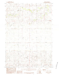
2015 Buffalo Peak
Converse County, WY
2015 Campbell Hill
Converse County, WY
2015 Careyhurst
Converse County, WY
2015 Chalk Buttes
Converse County, WY
2015 Clausen Ranch
Converse County, WY
2015 Coal Bank Draw
Converse County, WY
2015 Coal Draw North
Converse County, WY
2015 Coal Draw South
Converse County, WY
2015 Coal Hill
Converse County, WY
2015 Colter Draw
Converse County, WY
2015 Dilts Ranch
Converse County, WY
2015 Dugout Creek North
Converse County, WY
2015 Dugout Creek South
Converse County, WY
2015 Dugway Rim
Converse County, WY
2015 Esau Spring
Converse County, WY
2015 Fiddleback Ranch
Converse County, WY
2015 Fly Draw
Converse County, WY
2015 Gilbert Lake
Converse County, WY
2015 Gillam Draw East
Converse County, WY
2015 Glenrock NW
Converse County, WY
2015 Gumbo Hill
Converse County, WY
2015 Hermit Rock
Converse County, WY
2015 Holdup Hollow
Converse County, WY
2015 Hylton Ranch
Converse County, WY
2015 Ireton Draw
Converse County, WY
2015 Irvine
Converse County, WY
2015 La Prele Reservoir
Converse County, WY
2015 Laramie Peak
Converse County, WY
2015 Leuenberger Ranch
Converse County, WY
2015 Lightning Creek
Converse County, WY
2015 Lockett
Converse County, WY
2015 Lost Springs NW
Converse County, WY
2015 Macken Draw
Converse County, WY
2015 Maneater Creek
Converse County, WY
2015 Marsh Draw
Converse County, WY
2015 Orpha
Converse County, WY
2015 Parkerton
Converse County, WY
2015 Patsy Draw
Converse County, WY
2015 Piney Creek
Converse County, WY
2015 Pinnacle Rocks
Converse County, WY
2015 Poison Lake
Converse County, WY
2015 Protsmans Knob
Converse County, WY
2015 Red Hill
Converse County, WY
2015 Reno Hill
Converse County, WY
2015 Rock Creek
Converse County, WY
2015 Root Creek
Converse County, WY
2015 Ross
Converse County, WY
2015 Ross Flat
Converse County, WY
2015 Saddleback Mountain
Converse County, WY
2015 Sawmill Canyon
Converse County, WY
2015 School Section Mountain
Converse County, WY
2015 Seven L Creek East
Converse County, WY
2015 Shawnee
Converse County, WY
2015 Simpson Draw
Converse County, WY
2015 Simpson Draw NW
Converse County, WY
2015 South Fork Reservoir
Converse County, WY
2015 Split Hill
Converse County, WY
2015 Split Hill SW
Converse County, WY
2015 Suicide Hill
Converse County, WY
2015 Sundquist Ranch
Converse County, WY
2015 The Park
Converse County, WY
2015 Thompson Draw
Converse County, WY
2015 Tin Can Lake
Converse County, WY
2015 Wagonhound Creek
Converse County, WY
2015 Walker Creek School
Converse County, WY
2015 Warbonnett Peak
Converse County, WY
2015 Whipple Hollow
Converse County, WY
2015 Windy Peak
Converse County, WY
2017 Amend Ranch
Converse County, WY
2017 Antelope Creek
Converse County, WY
2017 Beauchamp Reservoir
Converse County, WY
2017 Bill
Converse County, WY
2017 Bill SE
Converse County, WY
2017 Blue Nose Creek
Converse County, WY
2017 Bobby Draw
Converse County, WY
2017 Braae
Converse County, WY
2017 Buck Peak
Converse County, WY
2017 Buffalo Peak
Converse County, WY
2017 Campbell Hill
Converse County, WY
2017 Careyhurst
Converse County, WY
2017 Coal Draw South
Converse County, WY
2017 Coal Hill
Converse County, WY
2017 Colter Draw
Converse County, WY
2017 Dilts Ranch
Converse County, WY
2017 Dugway Rim
Converse County, WY
2017 Fiddleback Ranch
Converse County, WY
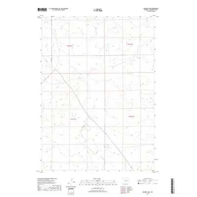
2017 Gilbert Lake
Converse County, WY
2017 Gillam Draw East
Converse County, WY
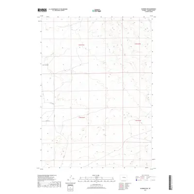
2017 Glenrock NW
Converse County, WY
2017 Gumbo Hill
Converse County, WY
2017 Hermit Rock
Converse County, WY
2017 Holdup Hollow
Converse County, WY
2017 Hylton Ranch
Converse County, WY
2017 Ireton Draw
Converse County, WY
2017 La Prele Reservoir
Converse County, WY
2017 Laramie Peak
Converse County, WY
2017 Leuenberger Ranch
Converse County, WY
2017 Lightning Creek
Converse County, WY
2017 Lockett
Converse County, WY
2017 Macken Draw
Converse County, WY
2017 Maneater Creek
Converse County, WY
2017 Marsh Draw
Converse County, WY
2017 Orpha
Converse County, WY
2017 Parkerton
Converse County, WY
2017 Patsy Draw
Converse County, WY
2017 Piney Creek
Converse County, WY
2017 Pinnacle Rocks
Converse County, WY
2017 Poison Lake
Converse County, WY
2017 Protsmans Knob
Converse County, WY
2017 Red Hill
Converse County, WY
2017 Reno Hill
Converse County, WY
2017 Rock Creek
Converse County, WY
2017 Ross Flat
Converse County, WY
2017 Saddleback Mountain
Converse County, WY
2017 Sawmill Canyon
Converse County, WY
2017 School Section Mountain
Converse County, WY
2017 Seven L Creek East
Converse County, WY
2017 Shawnee
Converse County, WY
2017 Simpson Draw
Converse County, WY
2017 Simpson Draw NW
Converse County, WY
2017 Split Hill
Converse County, WY
2017 Split Hill SW
Converse County, WY
2017 Suicide Hill
Converse County, WY
2017 Sundquist Ranch
Converse County, WY
2017 The Park
Converse County, WY
2017 Thompson Draw
Converse County, WY
2017 Walker Creek School
Converse County, WY
2017 Warbonnett Peak
Converse County, WY
2017 Whipple Hollow
Converse County, WY
2017 Windy Peak
Converse County, WY
2018 Alta Creek
Converse County, WY
2018 Banner Mountain
Converse County, WY

2018 Bear Creek
Converse County, WY
2018 Betty Reservoir
Converse County, WY
2018 Chalk Buttes
Converse County, WY
2018 Clausen Ranch
Converse County, WY
2018 Coal Bank Draw
Converse County, WY
2018 Coal Draw North
Converse County, WY
2018 Dugout Creek North
Converse County, WY
2018 Dugout Creek South
Converse County, WY
2018 Esau Spring
Converse County, WY
2018 Fly Draw
Converse County, WY
2018 Irvine
Converse County, WY
2018 Lost Springs NW
Converse County, WY
2018 Root Creek
Converse County, WY
2018 Ross
Converse County, WY
2018 South Fork Reservoir
Converse County, WY
2018 Tin Can Lake
Converse County, WY
2018 Wagonhound Creek
Converse County, WY
2021 Alta Creek
Converse County, WY
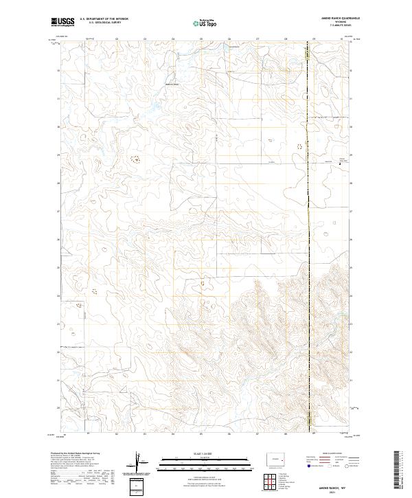
2021 Amend Ranch
Converse County, WY
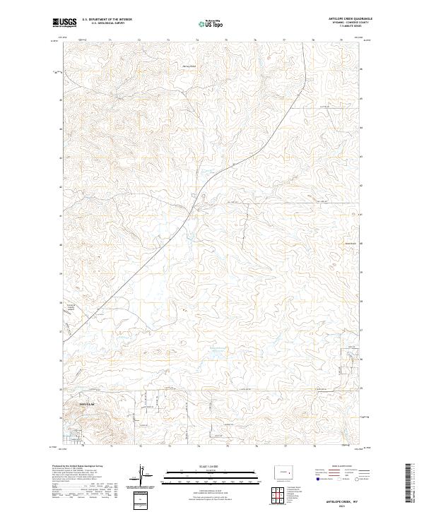
2021 Antelope Creek
Converse County, WY
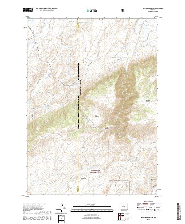
2021 Banner Mountain
Converse County, WY
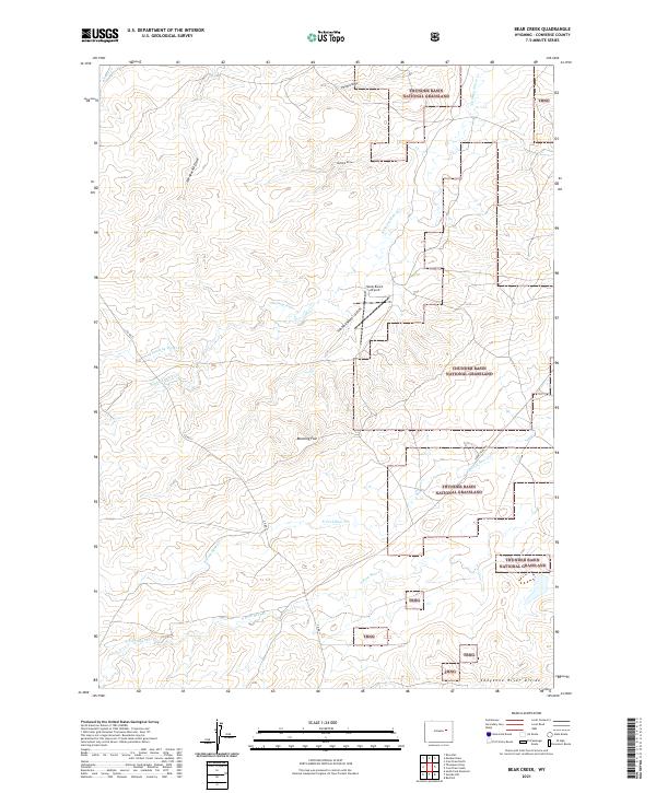
2021 Bear Creek
Converse County, WY
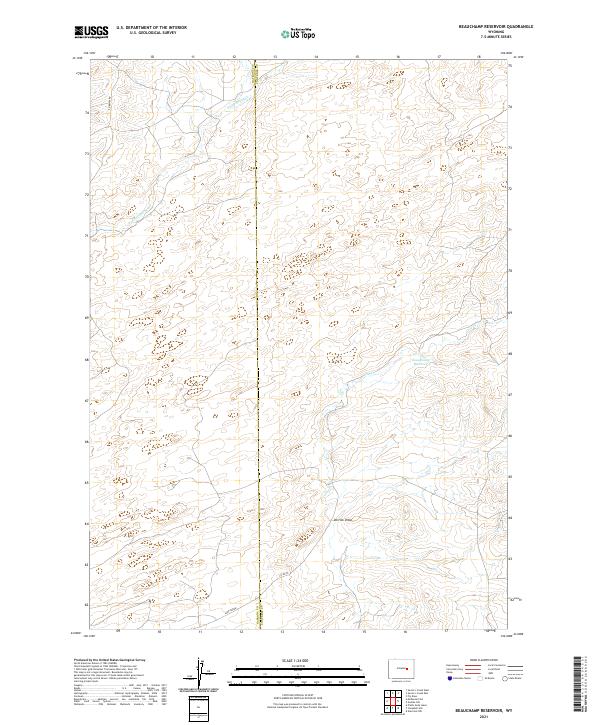
2021 Beauchamp Reservoir
Converse County, WY
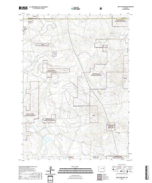
2021 Betty Reservoir
Converse County, WY
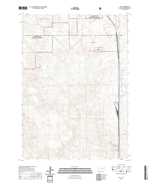
2021 Bill
Converse County, WY
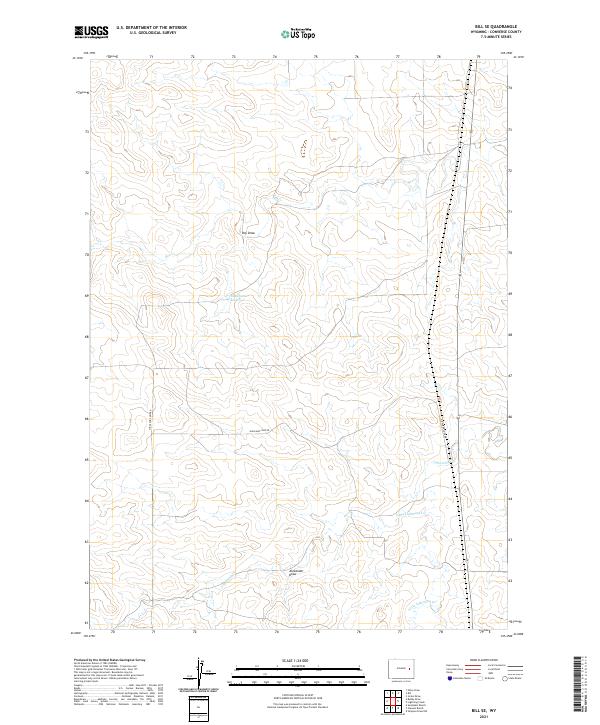
2021 Bill SE
Converse County, WY
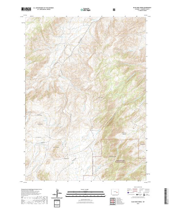
2021 Blue Nose Creek
Converse County, WY
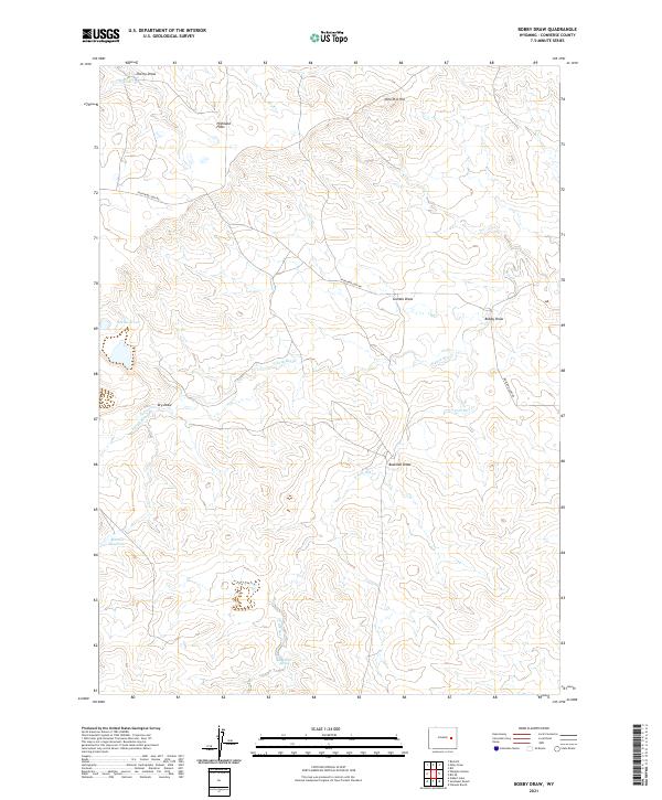
2021 Bobby Draw
Converse County, WY
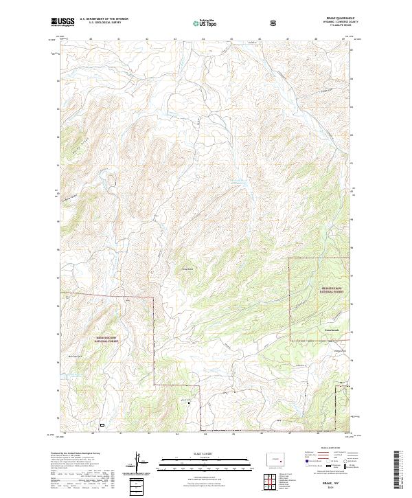
2021 Braae
Converse County, WY
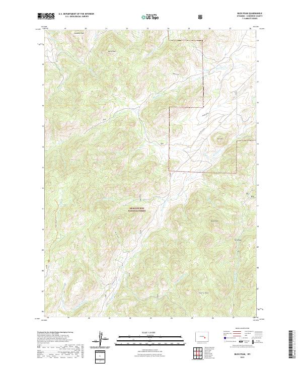
2021 Buck Peak
Converse County, WY
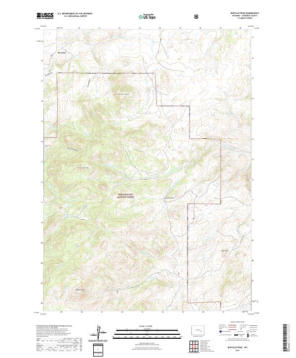
2021 Buffalo Peak
Converse County, WY
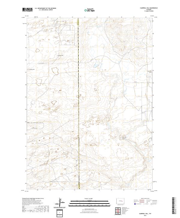
2021 Campbell Hill
Converse County, WY
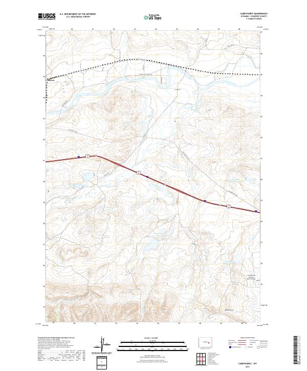
2021 Careyhurst
Converse County, WY
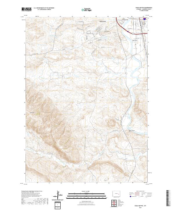
2021 Chalk Buttes
Converse County, WY
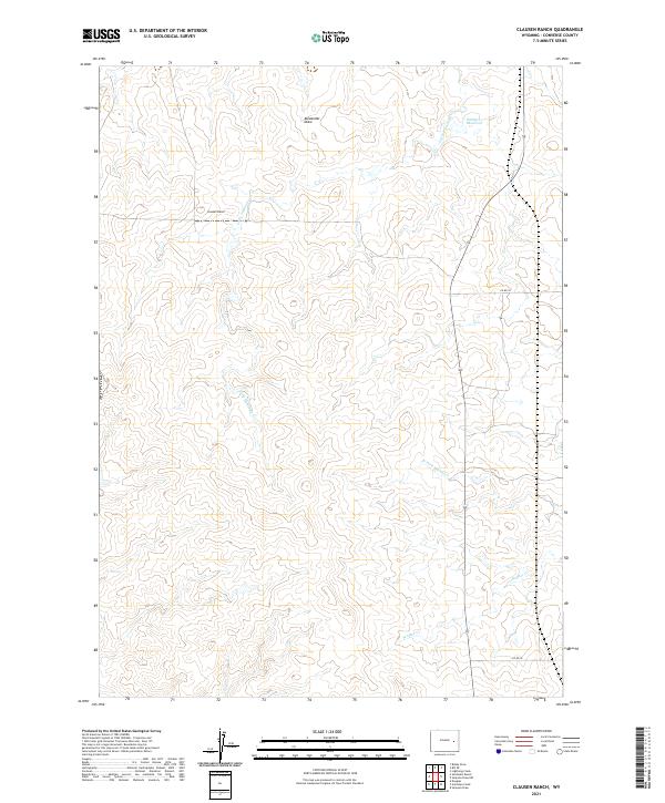
2021 Clausen Ranch
Converse County, WY
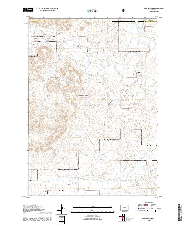
2021 Coal Bank Draw
Converse County, WY
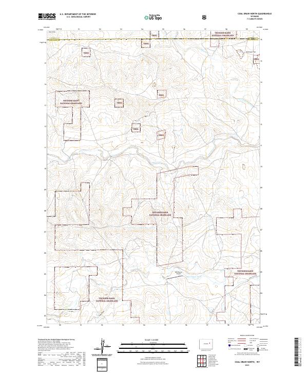
2021 Coal Draw North
Converse County, WY
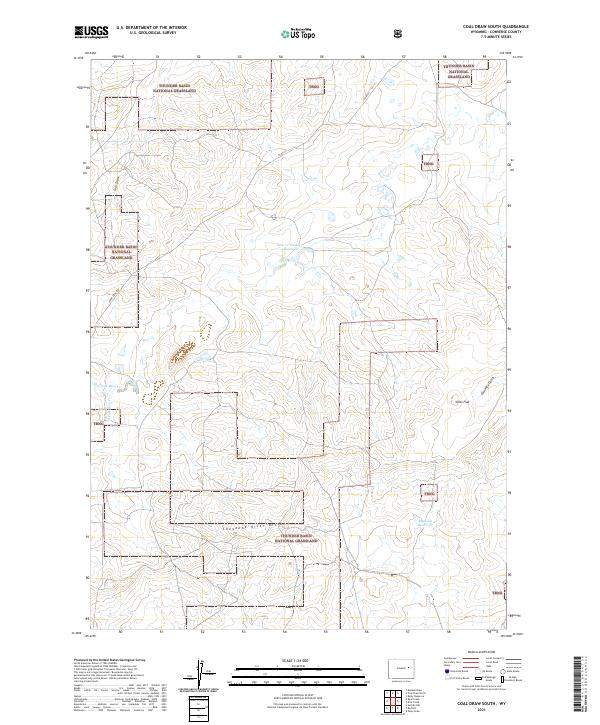
2021 Coal Draw South
Converse County, WY
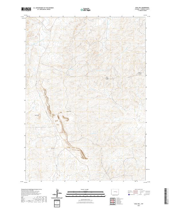
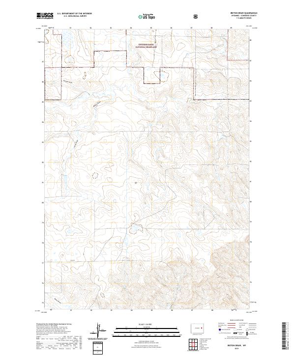
2021 Coal Hill
Converse County, WY
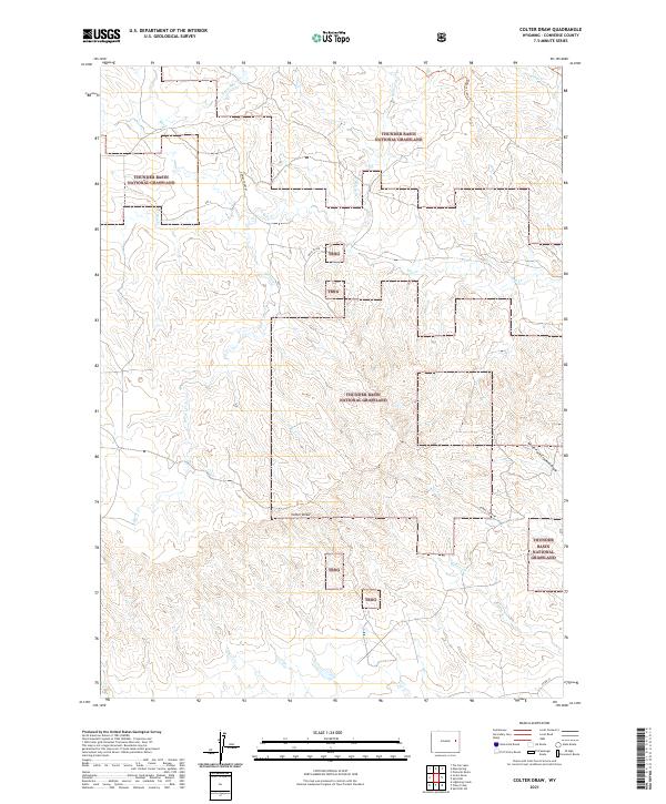
2021 Colter Draw
Converse County, WY
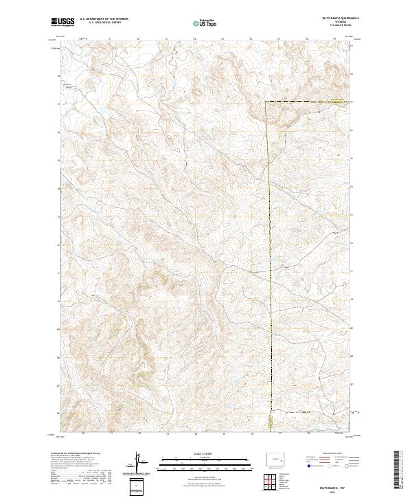
2021 Dilts Ranch
Converse County, WY
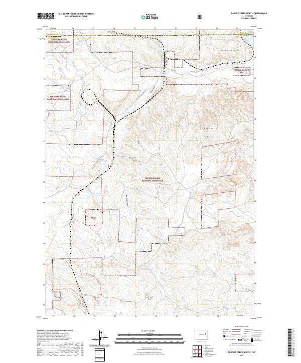
2021 Dugout Creek North
Converse County, WY
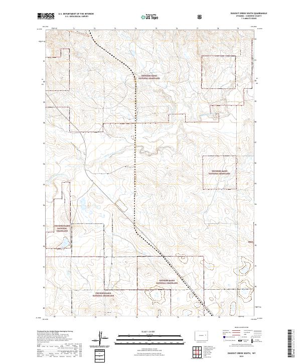
2021 Dugout Creek South
Converse County, WY
2021 Dugway Rim
Converse County, WY
2021 Esau Spring
Converse County, WY
2021 Fiddleback Ranch
Converse County, WY
2021 Fly Draw
Converse County, WY
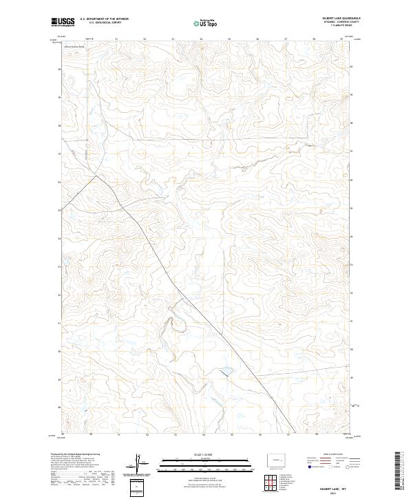
2021 Gilbert Lake
Converse County, WY
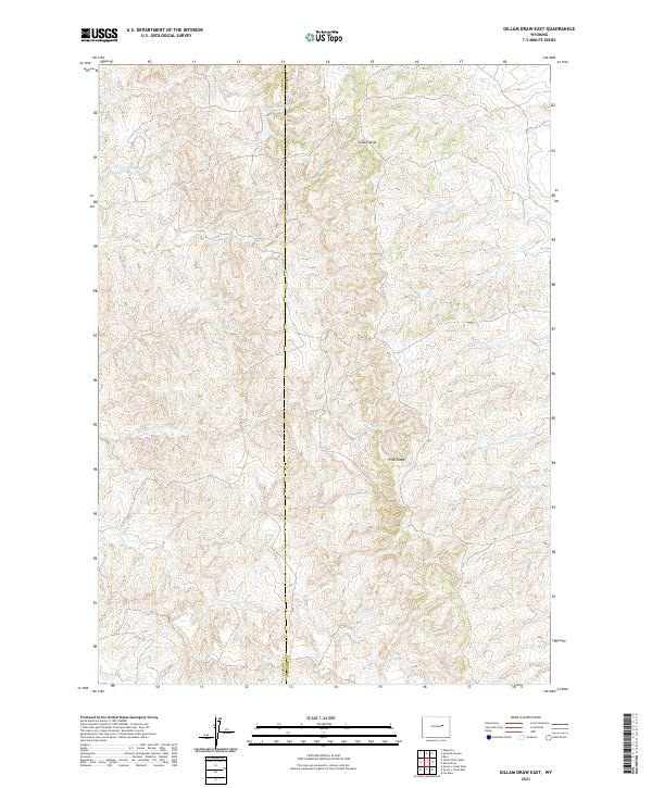
2021 Gillam Draw East
Converse County, WY
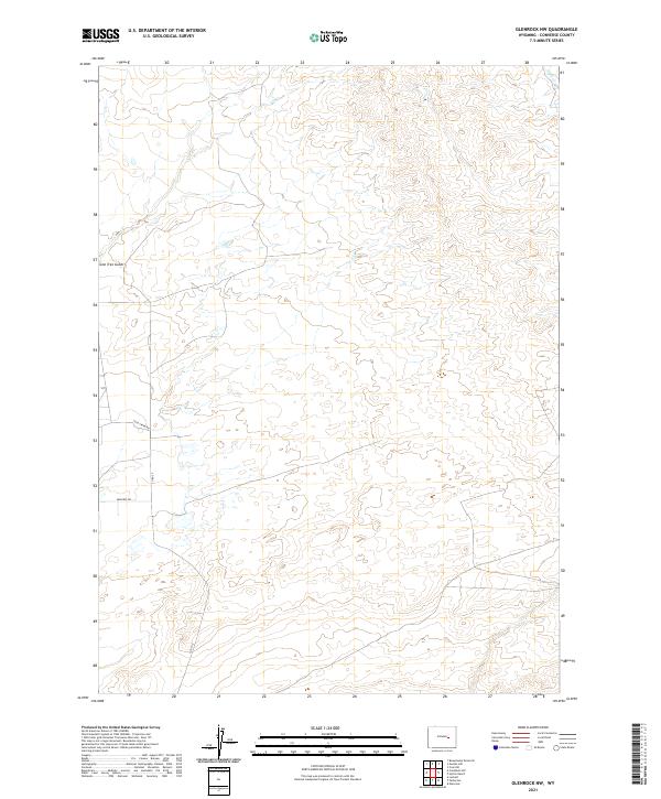
2021 Glenrock NW
Converse County, WY
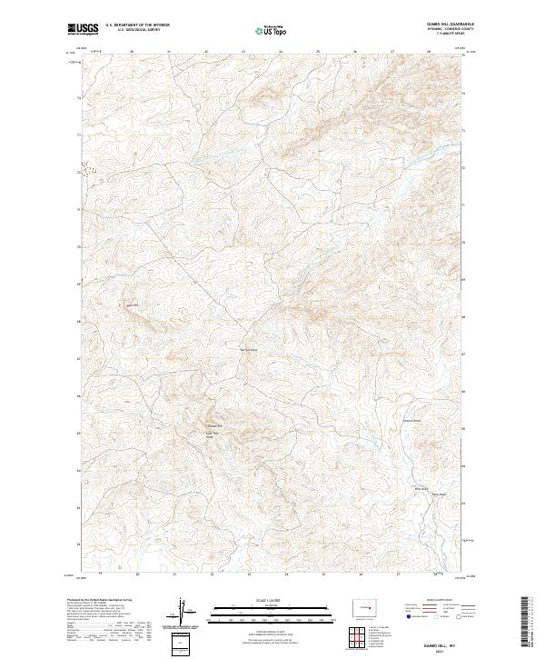
2021 Gumbo Hill
Converse County, WY
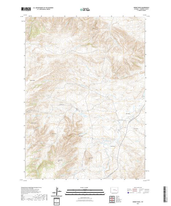
2021 Hermit Rock
Converse County, WY
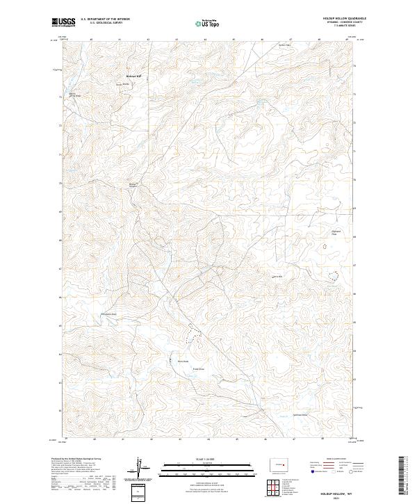
2021 Holdup Hollow
Converse County, WY
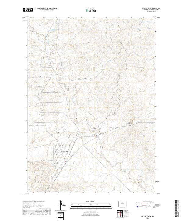
2021 Hylton Ranch
Converse County, WY
2021 Ireton Draw
Converse County, WY
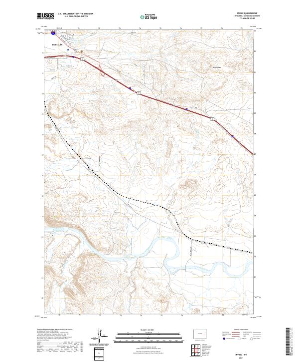
2021 Irvine
Converse County, WY
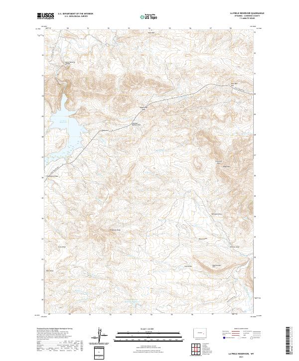
2021 La Prele Reservoir
Converse County, WY
2021 Laramie Peak
Converse County, WY
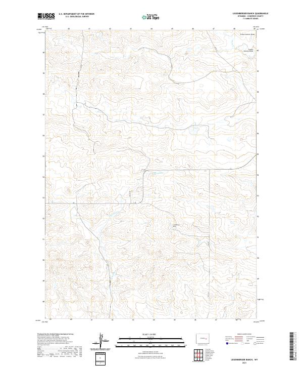
2021 Leuenberger Ranch
Converse County, WY
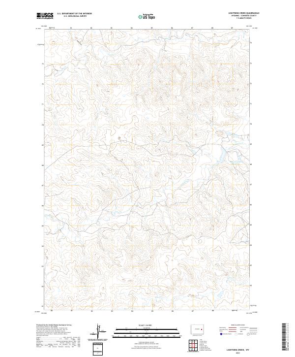
2021 Lightning Creek
Converse County, WY
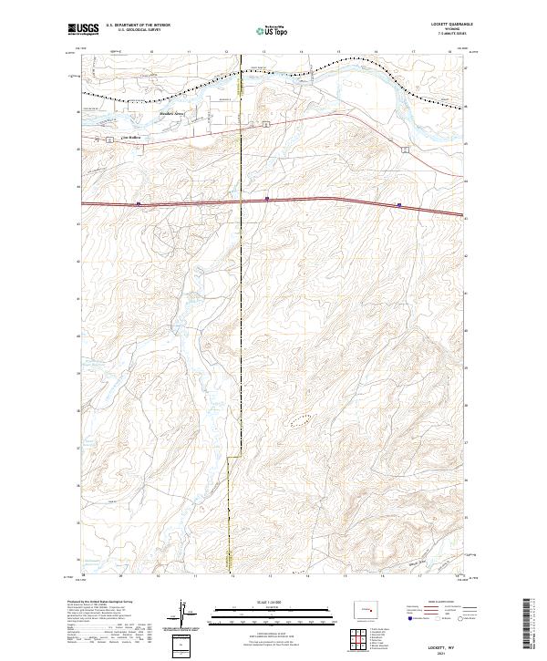
2021 Lockett
Converse County, WY
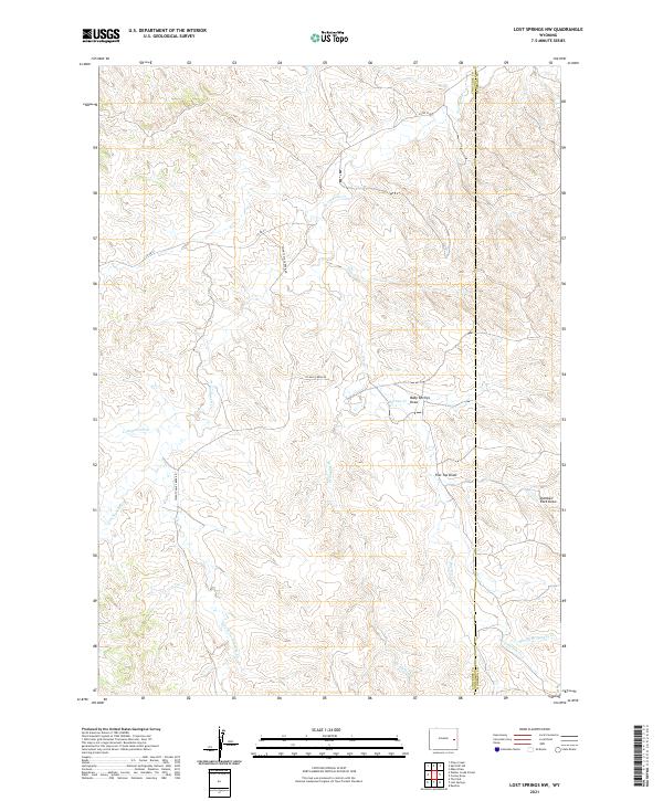
2021 Lost Springs NW
Converse County, WY
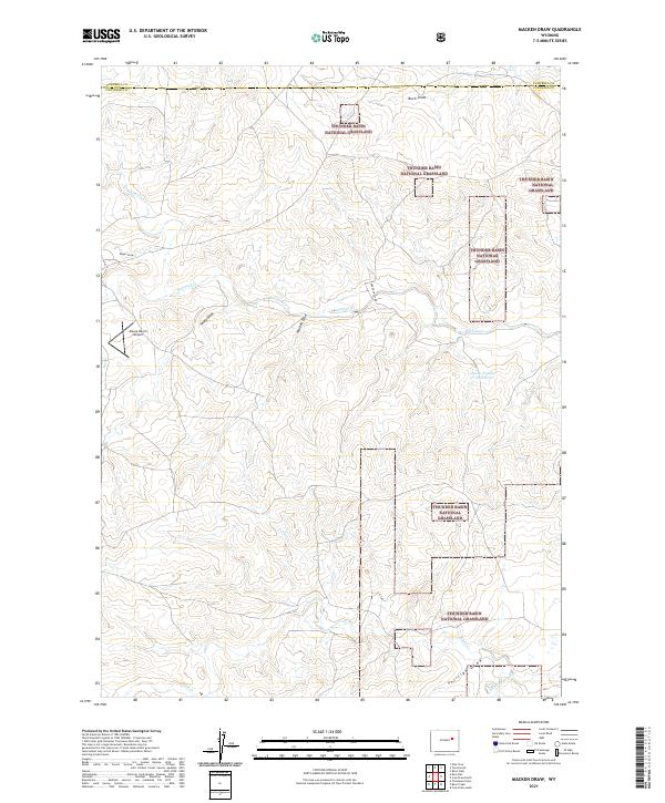
2021 Macken Draw
Converse County, WY
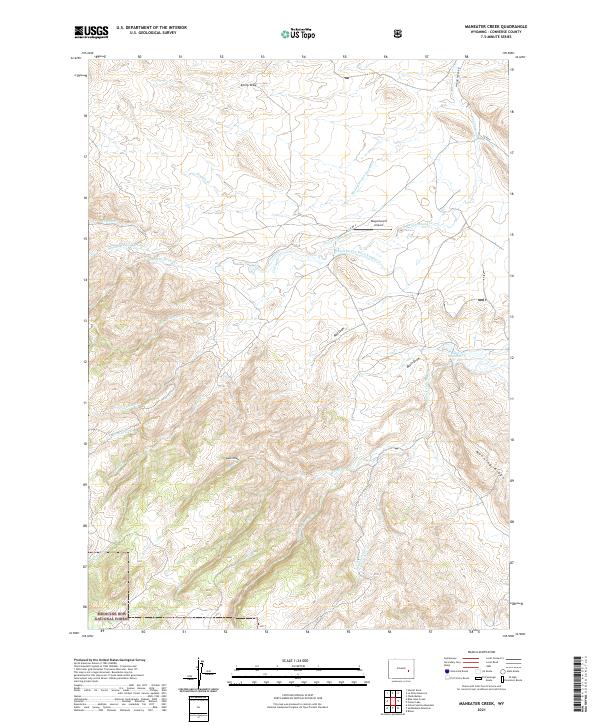
2021 Maneater Creek
Converse County, WY
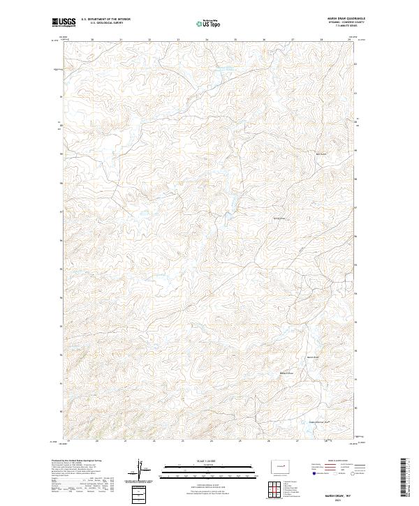
2021 Marsh Draw
Converse County, WY
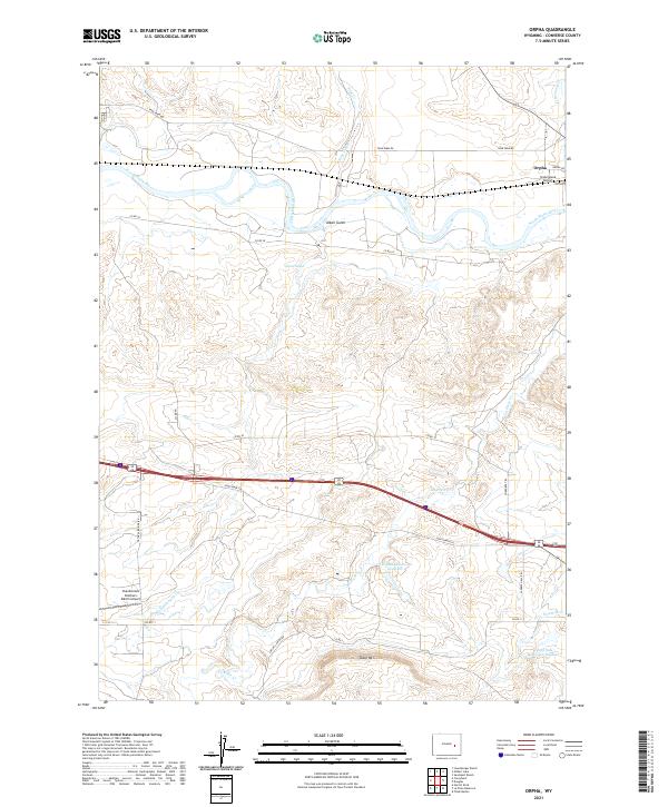
2021 Orpha
Converse County, WY
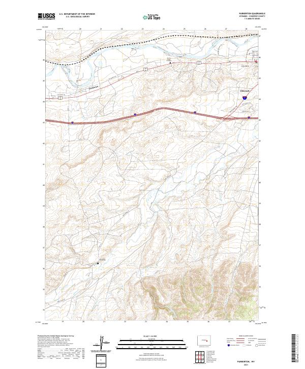
2021 Parkerton
Converse County, WY
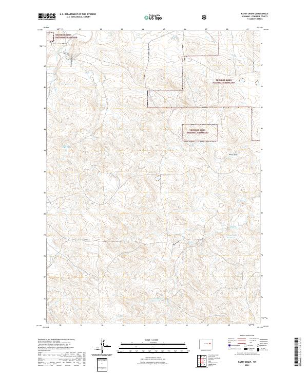
2021 Patsy Draw
Converse County, WY
2021 Piney Creek
Converse County, WY
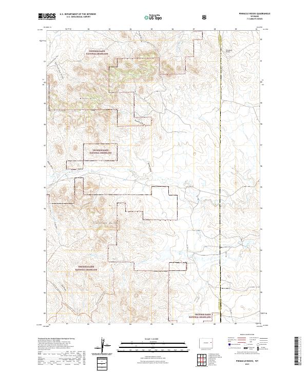
2021 Pinnacle Rocks
Converse County, WY
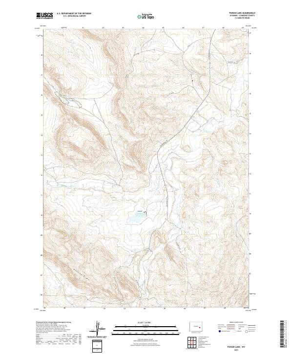
2021 Poison Lake
Converse County, WY
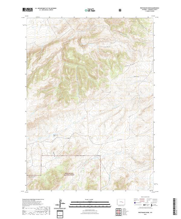
2021 Protsmans Knob
Converse County, WY
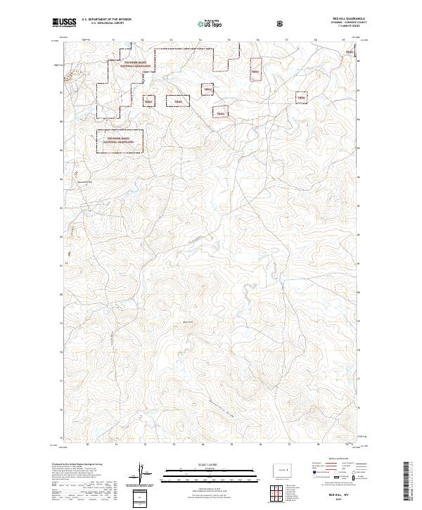
2021 Red Hill
Converse County, WY
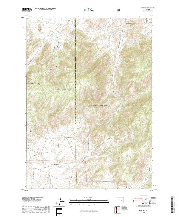
2021 Reno Hill
Converse County, WY
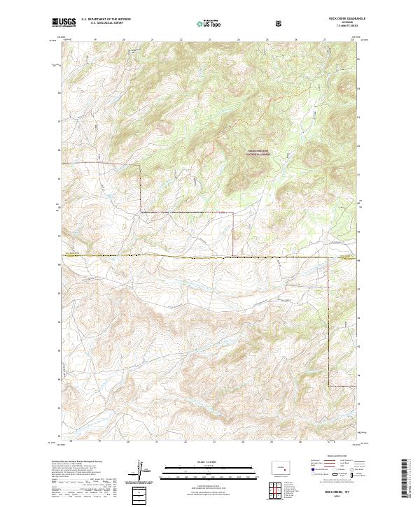
2021 Rock Creek
Converse County, WY
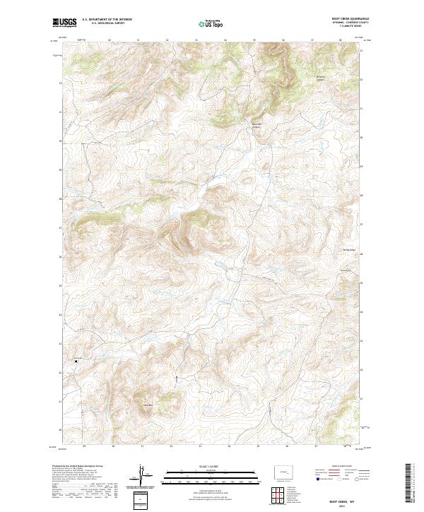
2021 Root Creek
Converse County, WY
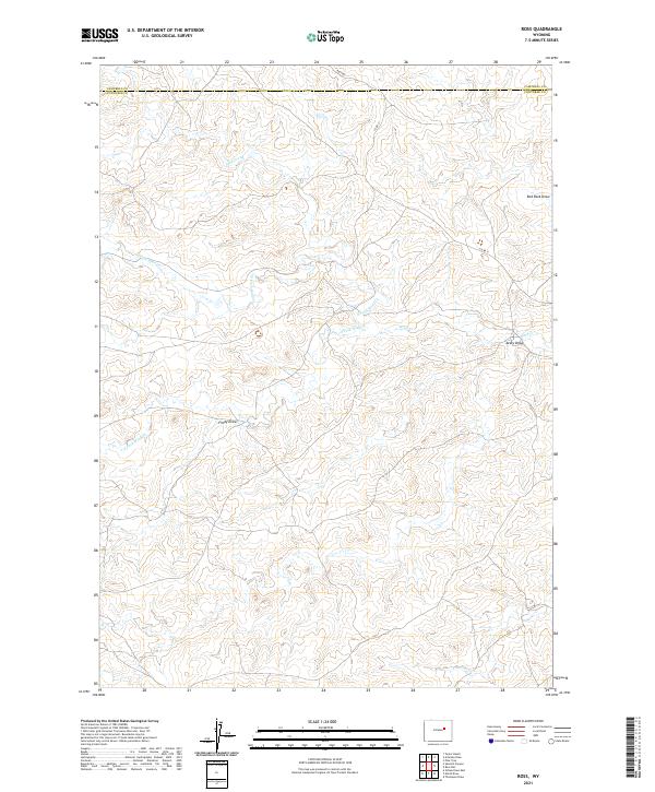
2021 Ross
Converse County, WY
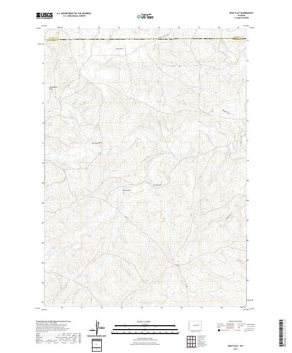
2021 Ross Flat
Converse County, WY
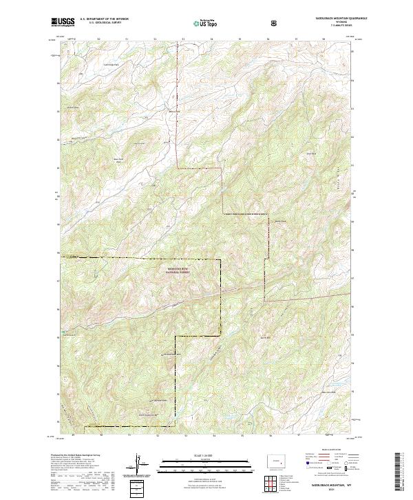
2021 Saddleback Mountain
Converse County, WY
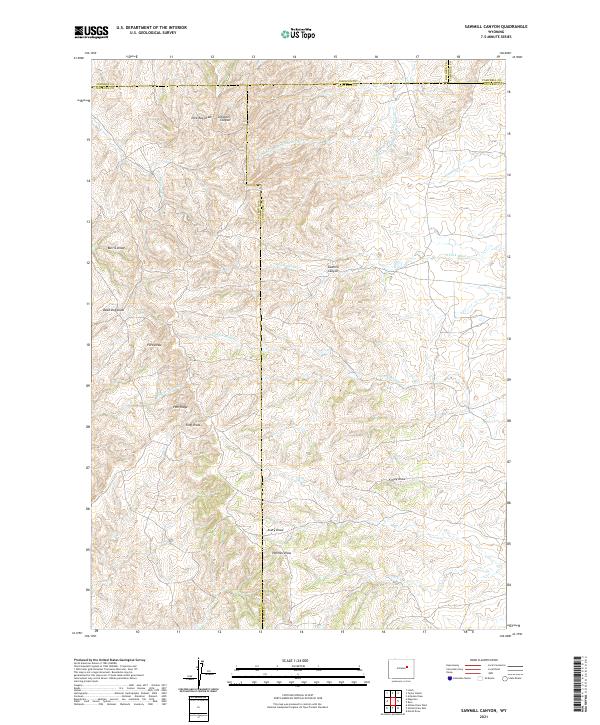
2021 Sawmill Canyon
Converse County, WY
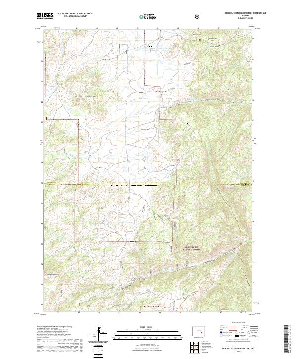
2021 School Section Mountain
Converse County, WY
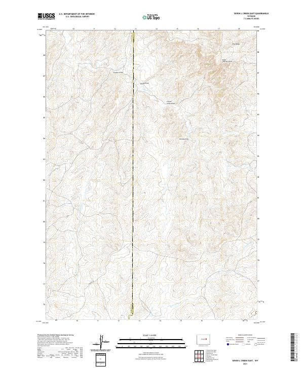
2021 Seven L Creek East
Converse County, WY
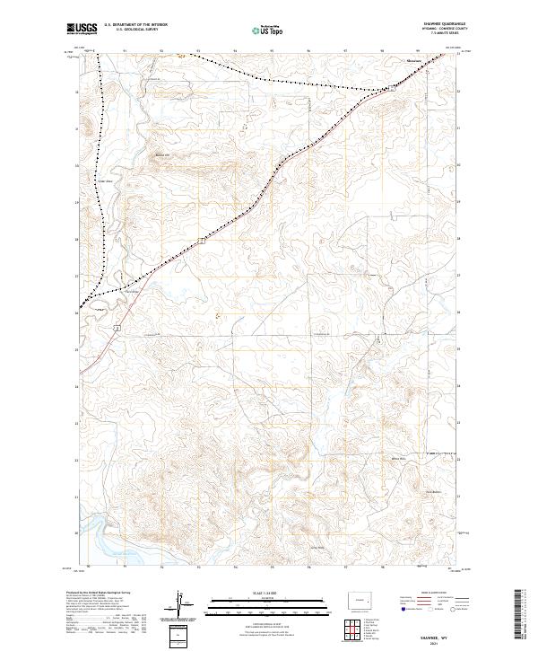
2021 Shawnee
Converse County, WY
2021 Simpson Draw
Converse County, WY
2021 Simpson Draw NW
Converse County, WY
2021 South Fork Reservoir
Converse County, WY
2021 Split Hill
Converse County, WY
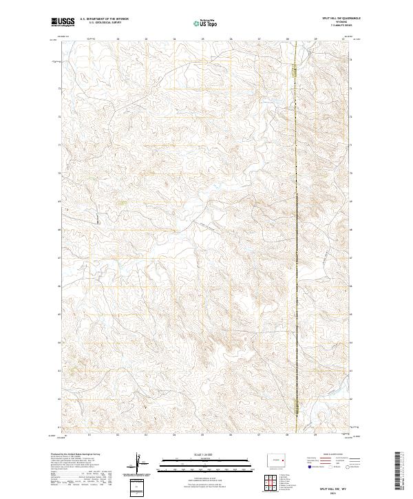
2021 Split Hill SW
Converse County, WY
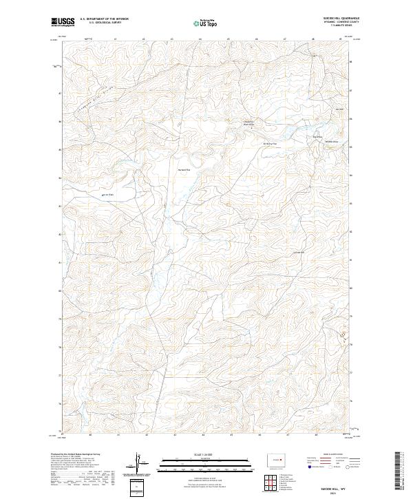
2021 Suicide Hill
Converse County, WY
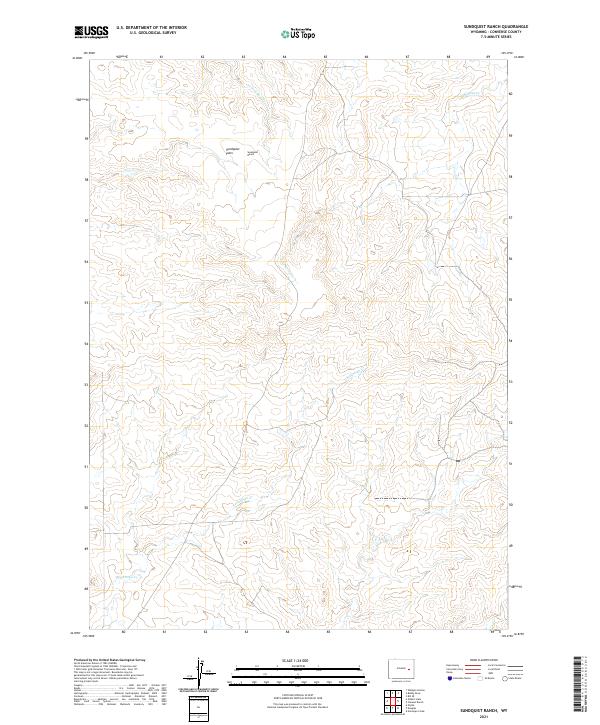
2021 Sundquist Ranch
Converse County, WY
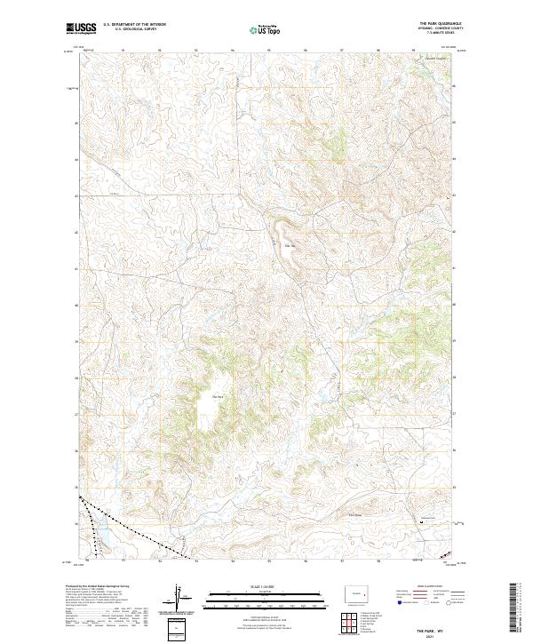
2021 The Park
Converse County, WY
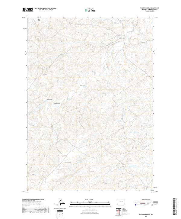
2021 Thompson Draw
Converse County, WY
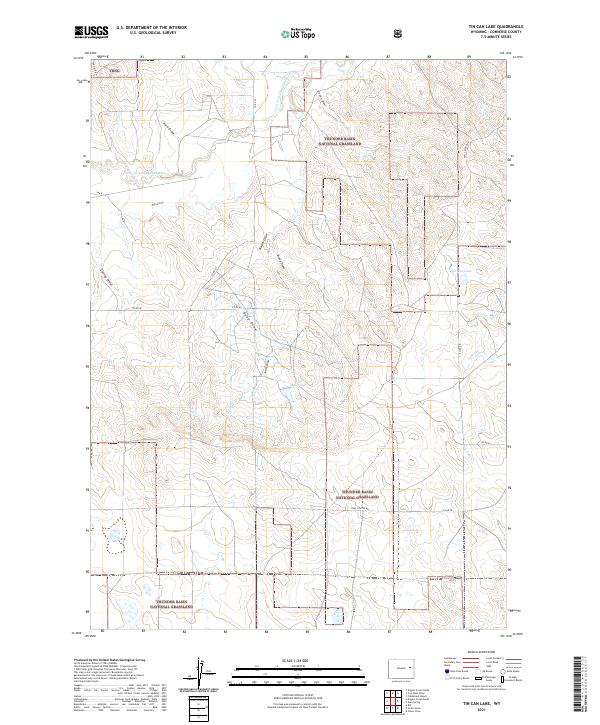
2021 Tin Can Lake
Converse County, WY
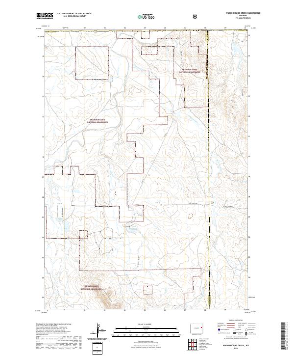
2021 Wagonhound Creek
Converse County, WY
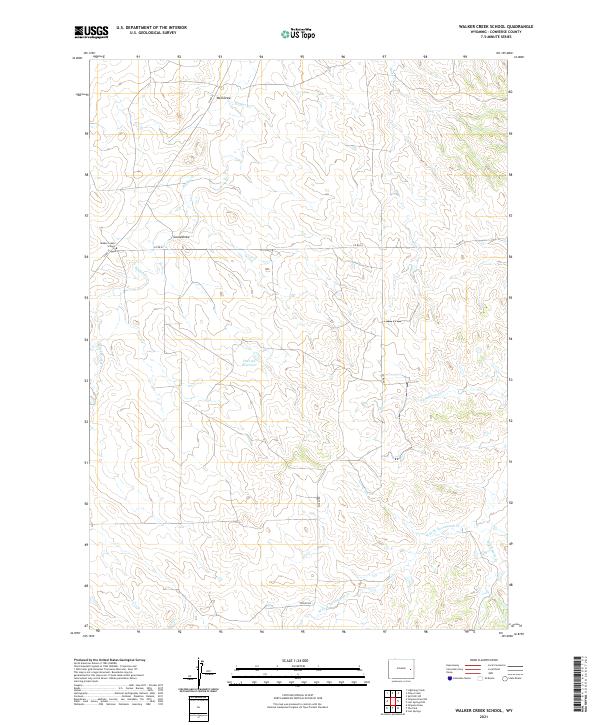
2021 Walker Creek School
Converse County, WY
2021 Warbonnett Peak
Converse County, WY
2021 Whipple Hollow
Converse County, WY
2021 Windy Peak
Converse County, WY
2023 Dugway Rim
Converse County, WY
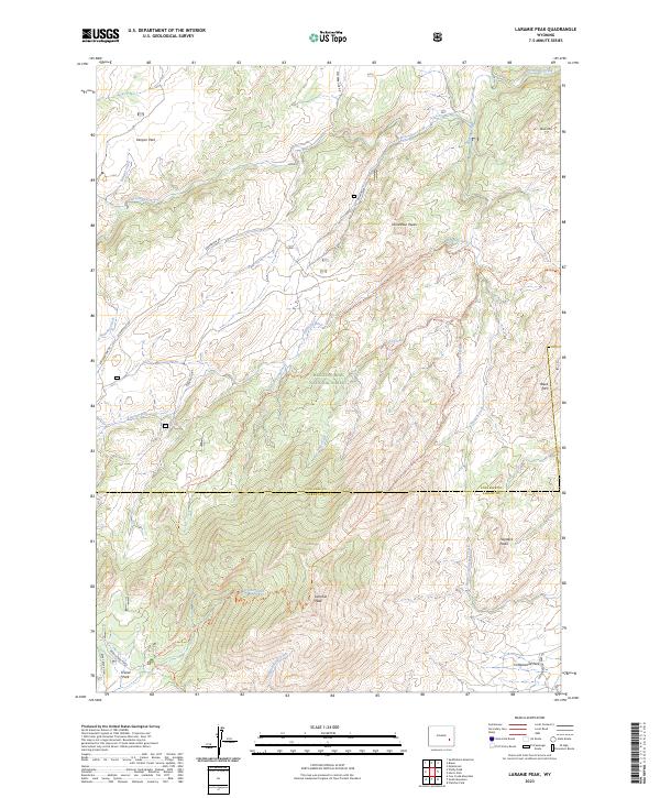
2023 Laramie Peak
Converse County, WY
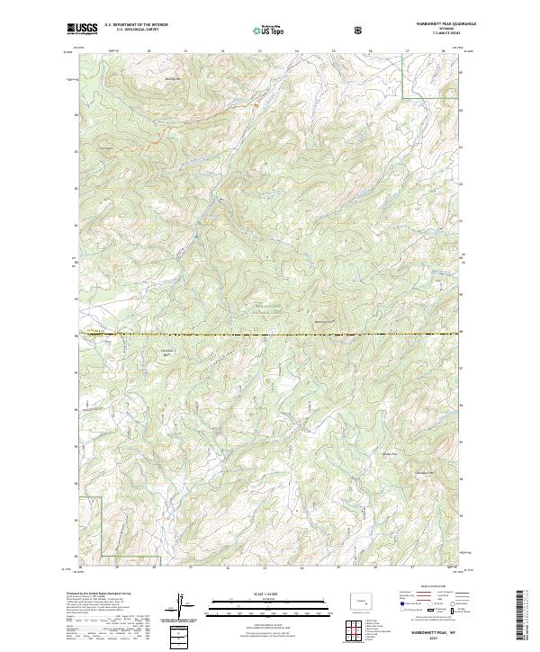
2023 Warbonnett Peak
Converse County, WY