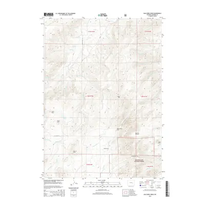
2015 Map of Blue Nose Creek
USGS Topo · Published 2015About this map
Medicine Bow National Forest dominates the southern reaches of this Wyoming landscape, where the high-altitude terrain is carved by a complex network of drainage basins. The eastern topography is defined by the dramatic Wagon Hound Gorge and Wagon Hound Falls, features that illustrate the significant elevation drops of the Wagon Hound Cr system. To the west, the watershed of La Prele Cr and its tributaries, including Little La Prele Cr and Meadow Cr, shape the descent from the mountains toward the plains. Named landmarks like Virden Pass, Redenbaugh Pass, and Point of Rocks indicate established routes through this difficult geography. The presence of Beaulieu Lakes and Long Reservoir suggests the vital role of water management in this arid region of Converse County.
Find a feature on this map
47 named features on this map. Tap any name to fly to it.
Don’t see what you’re looking for? This feature index may not catch every label — zoom into the map to look around manually.
Map Details
Editions of this 2015 Blue Nose Creek Map
This is the sole edition of this map. No revisions or reprints were ever made.
Other maps of this area

1954 · Torrington
USGS Topo · 1:250,000

1958 · Torrington
USGS Topo · 1:250,000

1964 · School Section Mountain
USGS Topo · 1:24,000
1964 · Hermit Rock
USGS Topo · 1:24,000

1964 · Buffalo Peak
USGS Topo · 1:24,000
1964 · Maneater Creek
USGS Topo · 1:24,000
1964 · Blue Nose Creek
USGS Topo · 1:24,000

1964 · Saddleback Mountain
USGS Topo · 1:24,000
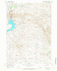
1964 · La Prele Reservoir
USGS Topo · 1:24,000
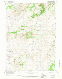
1964 · Root Creek
USGS Topo · 1:24,000