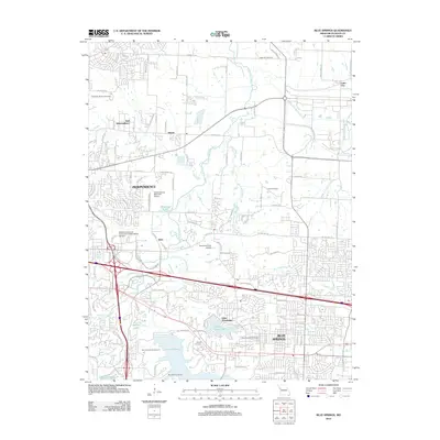
2012 Map of Blue Springs
USGS Topo · Published 2012About this map
Lake Tapawingo and the expansive waters of Lake Jacomo anchor the southern portion of this landscape, illustrating the suburban and recreational expansion east of Kansas City in the early 21st century. The map details the developed corridors of Independence and Blue Springs, connected by a dense network of suburban roads such as E Truman Rd and NW Jefferson St. Evidence of the area's agricultural past remains visible at Stevinson Farm Airport and through the drainage patterns of the Little Blue River and Burr Oak Creek. Genealogists and local historians can locate several burial grounds preserved amidst modern development, including the Lobb Cemetery, Stanley Cemetery, and Blue Springs Cemetery, which provide vital touchpoints for tracing family histories in Jackson County.
Find a feature on this map
115 named features on this map. Tap any name to fly to it.
Don’t see what you’re looking for? This feature index may not catch every label — zoom into the map to look around manually.
Map Details
Editions of this 2012 Blue Springs Map
This is the sole edition of this map. No revisions or reprints were ever made.
Other maps of this area

1887 · Harrisonville
USGS Topo · 1:125,000

1892 · Harrisonville
USGS Topo · 1:125,000

1894 · Harrisonville
USGS Topo · 1:125,000

1894 · Independence
USGS Topo · 1:125,000

1933 · Blue Springs
USGS Topo · 1:24,000

1934 · Oak Grove
USGS Topo · 1:24,000

1934 · Independence
USGS Topo · 1:24,000

1934 · Lees Summit
USGS Topo · 1:24,000

1934 · Woods Chapel
USGS Topo · 1:24,000

1935 · Buckner
USGS Topo · 1:24,000