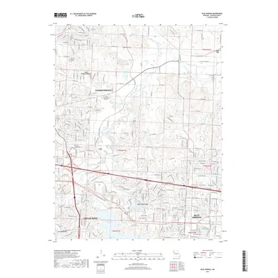
2017 Map of Blue Springs
USGS Topo · Published 2017About this map
Independence and its eastern suburbs dominate this landscape in the late 2010s, showing a complex network of residential growth and preserved water features. The Little Blue River and its East Fork carve through the center, feeding into recreation and reservoir sites like Lake Tapawingo and the expansive Blue Springs Lake. The suburban character is balanced by significant historical anchors, including several well-preserved burial grounds such as Oak Ridge Memory Gardens and the Gibson-Russell Cemetery.
Find a feature on this map
67 named features on this map. Tap any name to fly to it.
Don’t see what you’re looking for? This feature index may not catch every label — zoom into the map to look around manually.
Map Details
Editions of this 2017 Blue Springs Map
This is the sole edition of this map. No revisions or reprints were ever made.
Other maps of this area

1887 · Harrisonville
USGS Topo · 1:125,000

1892 · Harrisonville
USGS Topo · 1:125,000

1894 · Harrisonville
USGS Topo · 1:125,000

1894 · Independence
USGS Topo · 1:125,000

1933 · Blue Springs
USGS Topo · 1:24,000

1934 · Oak Grove
USGS Topo · 1:24,000

1934 · Independence
USGS Topo · 1:24,000

1934 · Lees Summit
USGS Topo · 1:24,000

1934 · Woods Chapel
USGS Topo · 1:24,000

1935 · Buckner
USGS Topo · 1:24,000