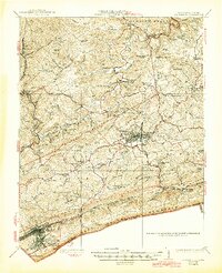
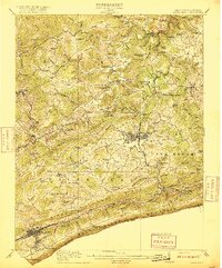
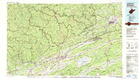
1926 Map of Bluefield
USGS Topo · Published 1944About this map
Princeton serves as the central hub of this Appalachian landscape, where the Virginian Railway and the Norfolk and Western Railway converge to move the resources of the coalfields. The map captures a moment when the regional economy was deeply tied to these rail corridors and the Bluestone River watershed. Small settlements like Matoaka, Spanishburg, and Lashmeet are dispersed through the valleys, each supported by a dense network of country schools such as Sand Gap School and Hurricane School.
Find a feature on this map
112 named features on this map. Tap any name to fly to it.
Don’t see what you’re looking for? This feature index may not catch every label — zoom into the map to look around manually.
Map Details
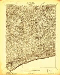
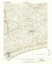
Editions of this 1926 Bluefield Map
3 editions found
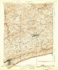
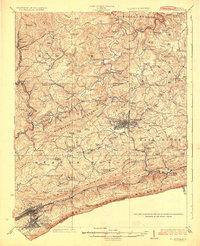
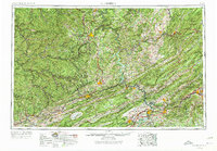
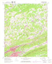
Historical Maps of Bluefield Through Time
10 maps found
1913 Bluefield
Tazewell County, VA
1916 Bluefield
Tazewell County, VA
1924 Bluefield
Tazewell County, VA
1926 Bluefield
Tazewell County, VA

1955 Bluefield
Tazewell County, VA
1957 Bluefield
Tazewell County, VA

1961 Bluefield
Tazewell County, VA
1962 Bluefield
Tazewell County, VA
1981 Bluefield
Tazewell County, VA
2023 Bluefield
Tazewell County, VA