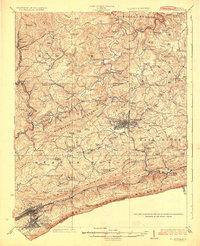
1926 Map of Bluefield
USGS Topo · Published 1926About this map
Princeton and Bluefield anchor this mid-1920s survey of southern West Virginia, documenting a landscape shaped by narrow valleys and the industrial reach of the Norfolk and Western RR and the Virginian RR. The convergence of these rail lines at Princeton highlights the region's historical importance as a transit hub between the coalfields and the coast. Outside the urban centers, the map reveals a dense network of mountain communities and family-named schools, such as the Alum Point School, Meadow Bell School, and Willis White School.
Find a feature on this map
124 named features on this map. Tap any name to fly to it.
Don’t see what you’re looking for? This feature index may not catch every label — zoom into the map to look around manually.
Map Details
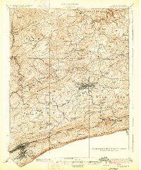
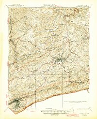
Editions of this 1926 Bluefield Map
3 editions found
Other maps of this area

1887 · Pocahontas
USGS Topo · 1:125,000

1887 · Hinton
USGS Topo · 1:125,000

1890 · Dublin
USGS Topo · 1:125,000

1891 · Pocahontas
USGS Topo · 1:125,000

1891 · Dublin
USGS Topo · 1:125,000

1891 · Raleigh
USGS Topo · 1:125,000

1892 · Hinton
USGS Topo · 1:125,000

1894 · Pocahontas
USGS Topo · 1:125,000

1895 · Pocahontas
USGS Topo · 1:125,000

1897 · Raleigh
USGS Topo · 1:125,000