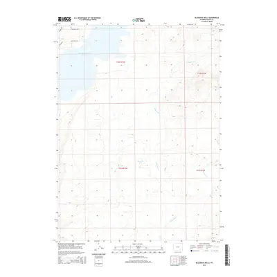
2015 Map of Bluegrass Wells
USGS Topo · Published 2015About this map
Wheatland Reservoir Number Two defines the northern edge of this high-plains landscape in Albany County, where the high desert meets a series of water features and seasonal drainages. The map centers on the namesake Bluegrass Wells, a vital water point in this arid region, and the winding course of W Bluegrass Cr as it flows across the township boundaries of t22n r73w and t21n r73w. To the northwest, a cluster of residential-themed road names including Daybreak Dr, Cloudburst Way, and Solstice Dr suggests contemporary land divisions and rural development near the reservoir's shores. This 2015 survey illustrates the modern management of Wyoming's ranching and water resources, documenting the land survey grid lines that still dictate property and mineral rights in the West.
Find a feature on this map
11 named features on this map. Tap any name to fly to it.
Don’t see what you’re looking for? This feature index may not catch every label — zoom into the map to look around manually.
Map Details
Editions of this 2015 Bluegrass Wells Map
This is the sole edition of this map. No revisions or reprints were ever made.
Other maps of this area

1954 · Cheyenne
USGS Topo · 1:250,000

1955 · Mc Gill Lakes
USGS Topo · 1:24,000

1955 · Dodge Ranch
USGS Topo · 1:24,000

1955 · Bluegrass Wells
USGS Topo · 1:24,000

1955 · Sybille Springs
USGS Topo · 1:24,000

1955 · Ayres Spring
USGS Topo · 1:24,000

1955 · Lake Ione
USGS Topo · 1:24,000

1955 · Guide Rock
USGS Topo · 1:24,000

1955 · Sheep Rock
USGS Topo · 1:24,000

1955 · Bull Camp Peak
USGS Topo · 1:24,000